19 Westbury Road, Croydon, CR0 2ES
About 19 Westbury Road
19 Westbury Road is a three-bedroom semi-detached house in Croydon (CR0 2ES). It has a recorded floor area of 111 m² (around 1195 sq ft), construction records dating it to 1900-1929 and council tax band C. The latest certificate (September 2024) shows a D (score 55), a step below the typical UK home. When first surveyed in November 2008 the rating was E, the property has climbed 1 band since. Between certificates, lighting went from Very Poor to Average; while roof efficiency dropped from Good to Very Poor. The recommended improvements would push it to C (score 79). Records show the property has been extended at some point in its history.
At 111 m² the property is well over the postcode median (61 m² across 47 EPCs), placing it in the larger end of the local stock. It changed hands recently, sold October 2025 for £430,000. Across 2006–2025, sale prices on this property compounded at 7.2% per year. On a £-per-square-foot basis, the last sale (£360/sq ft) was about 57.9% above the typical sold price in the postcode.
What this property has
Inside
- Bedrooms3
- Bathrooms1
- CloakroomYes
Building
- Previously extendedYes
Everything you need to know about 19 Westbury Road
The true value, the hidden risks and the full sale history, in one report.
30-day money-back guarantee

The data behind every report


Energy performance
EPC Rating
Property Improvements
Changes detected from historical EPC data
Heating controls upgraded for better temperature management
More low energy lighting installed
Planning history
19 Westbury Road has no planning applications on record.
Notable planning nearby
64applications of note in the surrounding area
We flagged 2 things worth checking at 19 Westbury Road
Independent checks surfaced things a buyer would want to understand before offering. The report explains each one in full, with the underlying data and what to ask.
- Signs of HMO activity in the area
- Larger development activity nearby
30-day money-back guarantee
Sales history & valuation
Sale price has grown by over 3x since 2006.
£392,000
Modelled from EPC, postcode comparables and a sale-price growth of 7.2% per year over 19 years.
£430,000
Growth on file: 7.2% per year over 19 years.
Sales timeline
23 October 2025Most recent
£430,000
+97.2%over 16 years7 April 2009
£218,000
+89.6%over 2 years13 November 2006
£115,000
Median price across the last 5 sales in CR0 2ES: £300,000 (2024–2022).
Nearby sales in CR0 2ES
4a, Westbury Road, Croydon, CR0 2ES
Sold Nov 2024
£300,00018 Westbury Road, Croydon, CR0 2ES
Sold May 2024
£530,00011 Bratten Court, 34 Westbury Road, Croydon, CR0 2ES
Sold Feb 2024
£197,0001 Bratten Court, 34 Westbury Road, Croydon, CR0 2ES
Sold Jan 2023
£240,0009 Westbury Road, Croydon, CR0 2ES
Sold Nov 2022
£465,000
Versus other Westbury Road homes
On years held, 19 Westbury Road runs well behind the street norm.
Price per m²
£3,874
Street avg £3,114
Floor Area
111 m²
Street avg 104 m²
Habitable Rooms
4 rooms
Street avg 5 rooms
CO₂ Emissions
5.6 t/year
Street avg 4.9 t/year
Everything you need to know about 19 Westbury Road
The true value, the hidden risks and the full sale history, in one report.
30-day money-back guarantee
The data behind every report
Similar properties nearby
1 Broadway Avenue
CR0 2LP
1 Beulah Grove
CR0 2QU
1 Greenwood Road
CR0 2PN
1 Guildford Road
CR0 2HL
1 Grenaby Road
CR0 2EJ
1 Burdett Road
CR0 2HH
1 Beaconsfield Road
CR0 2LN
1 Cobblestone Place
CR0 2TX
The neighbourhood at a glance
Rail-style transport is unusually close for this postcode.
Crime
6/mo
Steady year-on-year across the wider district.
Nearest stop
0.1 km
Beaconsfield Road (CR0) — bus stop.
Closest school
0.1 km
Broadmead Primary School. 57 schools nearby.
Go deeper on the local area
The full report breaks down crime, transport links, schools and air quality in depth.
Road noise across the postcode
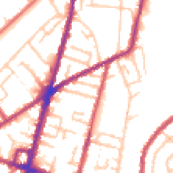
Daytime· 07:00 – 23:00
52.3dB

Night-time· 23:00 – 07:00
43.2dB