7 Ash Road, Bristol, BS7 8RN
About 7 Ash Road
7 Ash Road is a property in Bristol (BS7 8RN). It has council tax band D.
Untraded for 19 years, with the last transfer in June 2007. That sale landed at the peak of the pre-credit-crunch market, which is a useful reference point when interpreting the price.
Everything you need to know about 7 Ash Road
The true value, the hidden risks and the full sale history, in one report.
Pick your report · every report is £14.99
One time fee only - money back guarantee

The data behind every report


Energy performance
No EPC on record
This property doesn't have an Energy Performance Certificate yet. An EPC is required to sell or let — and unlocks our automated valuation.
Get a survey for this property
Level 2 HomeBuyer Report
We've checked 10 risk factors against the available data for this property and believe a Level 2 HomeBuyer Report could be a suitable option for you.
Planning history
7 Ash Road has no planning applications on record.
But the area is active
37 notable applications nearby — larger schemes and conversions that could reshape the street. The report maps them all.
Sales history & valuation
The latest sale landed at the peak of the pre-credit-crunch market — a high-water reference point.
£299,999
Recorded with HM Land Registry.
Sales timeline
21 June 2007Most recent
£299,999
Median price across the last 5 sales in BS7 8RN: £495,000 (2025–2023).
Everything you need to know about 7 Ash Road
The true value, the hidden risks and the full sale history, in one report.
Pick your report · every report is £14.99
One time fee only - money back guarantee
The data behind every report
Similar properties nearby
1 3, Gloucester Road, Bishopston
BS7 8AA
1 Arundel Road
BS7 8HA
1 Beloe Mews
BS7 8AN
1 Ash Road
BS7 8RN
1 Berkeley Avenue, Bishopston
BS7 8HH
1 Beloe Road
BS7 8RB
1 Arundel Court, Berkeley Road, Bishopston
BS7 8HE
1 2, Flat 3, Hunts Lane
BS7 8UW
The neighbourhood at a glance
Reported crime in the wider district is trending notably upward year-on-year.
Crime
6/mo
Rising year-on-year across the wider district.
Nearest stop
0.2 km
Ashley Down Road — bus stop.
Closest school
0.3 km
Ashley Down Primary School. 43 schools nearby.
Go deeper on the local area
A Local Area report breaks down crime, transport links, schools and air quality in depth.
Road noise across the postcode
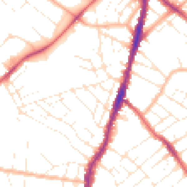
Daytime· 07:00 – 23:00
50.7dB

Night-time· 23:00 – 07:00
40.3dB