9 Elm Road, Horfield, Bristol, BS7 8RJ
About 9 Elm Road
9 Elm Road is a three-bedroom end-of-terrace house in Horfield, Bristol, Bristol (BS7 8RJ). It has a recorded floor area of 96 m² (around 1033 sq ft), construction records dating it to 1900-1929 and council tax band B. The latest certificate (March 2021) shows a D (score 64), on the cusp of jumping into the C band. When first surveyed in April 2010 the rating was E, the property has climbed 1 band since. Between certificates, hot-water efficiency went from Average to Good and main heating went from Average to Good. The recommended improvements would lift it to B (score 83), a 2-band jump. Period features are noted in the property record.
At 96 m² the property is well over the postcode median (52 m² across 13 EPCs), placing it in the larger end of the local stock. Across 1997–2022, sale prices on this property compounded at 8.6% per year. Today's modelled estimate of £512,000 is 13% above the 2022 sale price. On a £-per-square-foot basis, the last sale (£438/sq ft) was about 326.7% above the typical sold price in the postcode. Sold July 2022 for £453,000. That sale was during the post-pandemic price surge, when transactions cleared materially above pre-2020 trend.
What this property has
Inside
- Bedrooms3
- Bathrooms1
Building
- Period featuresYes
Everything you need to know about 9 Elm Road
The true value, the hidden risks and the full sale history, in one report.
Pick your report · every report is £14.99
One time fee only - money back guarantee

The data behind every report


Energy performance
Recommended upgrades on file would lift this property by multiple EPC bands.
EPC Rating
Property Improvements
Changes detected from historical EPC data
Heating controls upgraded for better temperature management
Hot water efficiency improved
More low energy lighting installed
Get a survey for this property
Level 3 Building Survey
Because the property was built before 1919 and has solid (non-cavity) walls, we believe a Level 3 building survey should be considered.
From £1,085 · Includes VAT
Planning history
9 Elm Road has no planning applications on record.
But the area is active
37 notable applications nearby — larger schemes and conversions that could reshape the street. The report maps them all.
Sales history & valuation
Latest sale on 9 Elm Road was the highest on Land Registry record across the postcode.
£512,000
Modelled from EPC, postcode comparables and a sale-price growth of 8.6% per year over 25 years.
£453,000
Growth on file: 8.6% per year over 25 years.
Sales timeline
27 July 2022Most recent
£453,000
+723.6%over 25 years30 January 1997
£55,000
Median price across the last 5 sales in BS7 8RJ: £170,000 (2018–2000).
Nearby sales in BS7 8RJ
3 Elm Road, Horfield, Bristol, BS7 8RJ
Sold Feb 2018
£335,00011 Elm Road, Horfield, Bristol, BS7 8RJ
Sold Jul 2011
£170,0007 Elm Road, Horfield, Bristol, BS7 8RJ
Sold Aug 2006
£216,500Elm Road Studios, Flat S17, Elm Road, Horfield, Bristol, BS7 8RJ
Sold May 2002
£75,0001 Elm Road, Horfield, Bristol, BS7 8RJ
Sold Jun 2000
£120,000
Versus other Elm Road homes
Price per m² for 9 Elm Road runs comfortably ahead of the street norm.
Price per m²
£4,719
Street avg £2,045
Floor Area
96 m²
Street avg 90 m²
Habitable Rooms
5 rooms
Street avg 5 rooms
CO₂ Emissions
4.0 t/year
Street avg 4.1 t/year
Everything you need to know about 9 Elm Road
The true value, the hidden risks and the full sale history, in one report.
Pick your report · every report is £14.99
One time fee only - money back guarantee
The data behind every report
Similar properties nearby
1 Beloe Mews
BS7 8AN
1 Beloe Road
BS7 8RB
1 Arundel Road
BS7 8HA
1 Ash Road
BS7 8RN
1 Berkeley Avenue, Bishopston
BS7 8HH
1 Beech Road
BS7 8RP
1 3, Gloucester Road, Bishopston
BS7 8AA
1 Arundel Court, Berkeley Road, Bishopston
BS7 8HE
The neighbourhood at a glance
Rail-style transport is unusually close for this postcode.
Crime
6/mo
Rising year-on-year across the wider district.
Nearest stop
0.2 km
Ashley Down Road — bus stop.
Closest school
0.3 km
Ashley Down Primary School. 43 schools nearby.
Go deeper on the local area
A Local Area report breaks down crime, transport links, schools and air quality in depth.
Road noise across the postcode
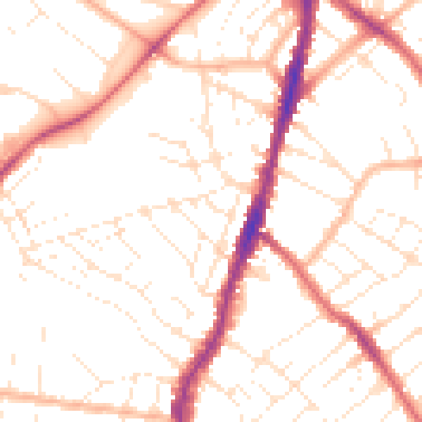
Daytime· 07:00 – 23:00
51.1dB

Night-time· 23:00 – 07:00
40.6dB