6 Camelford Road, Bristol, BS5 6HW
About 6 Camelford Road
6 Camelford Road is a three-bedroom mid-terrace house in Bristol (BS5 6HW). It has a recorded floor area of 84 m² (around 904 sq ft), construction records dating it to 1900-1929 and council tax band A. The latest certificate (June 2019) shows a D (score 55), a step below the typical UK home. The recommended improvements would push it to C (score 79). Period features are noted in the property record. The home occupies a cul-de-sac position.
Across 2019–2021, sale prices on this property compounded at 37% per year. Today's modelled estimate of £469,000 is 14.4% above the 2021 sale price. On a £-per-square-foot basis, the last sale (£453/sq ft) was about 217.3% above the typical sold price in the postcode. Last sale on file: £410,000 in January 2021. That sale was during the post-pandemic price surge, when transactions cleared materially above pre-2020 trend.
What this property has
Inside
- Bedrooms3
- Bathrooms1
- Open-plan layoutYes
Outside
- Private gardenYes
- Cul-de-sacYes
Building
- Period featuresYes
Everything you need to know about 6 Camelford Road
The true value, the hidden risks and the full sale history, in one report.
30-day money-back guarantee

The data behind every report


Energy performance
EPC Rating
Planning history
6 Camelford Road has no planning applications on record.
Notable planning nearby
30applications of note in the surrounding area
We flagged 2 things worth checking at 6 Camelford Road
Independent checks surfaced things a buyer would want to understand before offering. The report explains each one in full, with the underlying data and what to ask.
- Signs of HMO activity in the area
- Recent ownership pattern worth a look
30-day money-back guarantee
Sales history & valuation
6 Camelford Road changed hands twice within eighteen months — unusual for the area.
£469,000
Modelled from EPC, postcode comparables and a sale-price growth of 37.0% per year over 1 year.
£410,000
Growth on file: 37.0% per year over 1 year.
Sales timeline
22 January 2021Most recent
£410,000
+49.1%over 1 year17 October 2019
£275,000
Median price across the last 5 sales in BS5 6HW: £441,000 (2024–2021).
Nearby sales in BS5 6HW
Versus other Camelford Road homes
6 Camelford Road outperforms the street on price per m² by a wide margin.
Price per m²
£4,881
Street avg £3,357
Floor Area
84 m²
Street avg 91 m²
Habitable Rooms
4 rooms
Street avg 5 rooms
CO₂ Emissions
4.6 t/year
Street avg 4.5 t/year
Everything you need to know about 6 Camelford Road
The true value, the hidden risks and the full sale history, in one report.
30-day money-back guarantee
The data behind every report
Similar properties nearby
1 Camelford Road
BS5 6HW
1 Boswell Street
BS5 6SG
1 Caraway Gardens
BS5 6YG
1 Bridge View Close
BS5 6BS
1 Carlyle Road
BS5 6HG
1 Ashdene Avenue
BS5 6QH
1 Chapel Road, Easton
BS5 6DX
1 Argyle Street, Eastville
BS5 6PF
The neighbourhood at a glance
Rail-style transport is unusually close for this postcode.
Crime
11/mo
Steady year-on-year across the wider district.
Nearest stop
0.4 km
Bruce Road — bus stop.
Closest school
0.3 km
Whitehall Primary School. 41 schools nearby.
Go deeper on the local area
The full report breaks down crime, transport links, schools and air quality in depth.
Road noise across the postcode
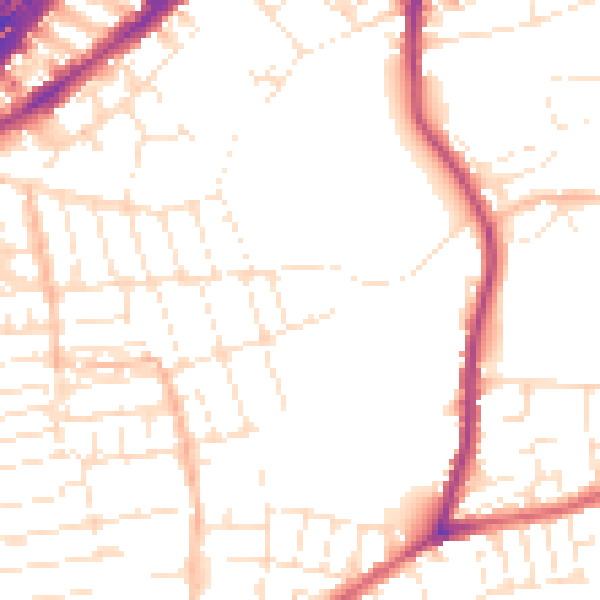
Daytime· 07:00 – 23:00
51.5dB

Night-time· 23:00 – 07:00
41.9dB