1 Couzens Place, Stoke Gifford, Bristol, BS34 8PL
About 1 Couzens Place
1 Couzens Place is an end-of-terrace house in Stoke Gifford, Bristol, Bristol (BS34 8PL). It has a recorded floor area of 87 m² (around 936 sq ft), construction records dating it to 1967-1975 and council tax band B. The latest certificate (March 2013) shows a D (score 63), on the cusp of jumping into the C band. The recommended improvements would lift it to B (score 85), a 2-band jump. The latest certificate is from March 2013, so improvements made since then won't be reflected.
Today's modelled estimate of £266,000 sits 112.8% above the 2013 sale of £124,995. On a £-per-square-foot basis, the last sale (£133/sq ft) was about 25.9% below the postcode norm. On the market in July 2013 and unlisted since — roughly 13 years. One historical planning record sits against the property in 2016.
Everything you need to know about 1 Couzens Place
The true value, the hidden risks and the full sale history, in one report.
Pick your report · every report is £14.99
One time fee only - money back guarantee

The data behind every report


Energy performance
Recommended upgrades on file would lift this property by multiple EPC bands.
EPC Expired
This certificate is over 10 years old and is no longer valid.Expired 22 Mar 2023
EPC Rating
Get a survey for this property
Level 2 HomeBuyer Report
We've checked 10 risk factors against the available data for this property and believe a Level 2 HomeBuyer Report could be a suitable option for you.
From £545 · Includes VAT
Planning history
1 application on record at 1 Couzens Place, Stoke Gifford, Bristol, BS34 8PL
- Oct 2016New BuildFullOutcome in report
Erection of 1no attached dwelling, new access and associated works.
- Documents
- 23 docs on file
- Reference
- PT16/4787/F
Unlock 1 Couzens Place, Stoke Gifford, Bristol, BS34 8PL's full planning history
You're seeing the shape of it. The report has the substance.
- Every decision — granted, refused or withdrawn (1 on record)
- All 1 application on this property in full, plus 9 notable nearby
- The 23 documents, officer reports & conditions
- What the pattern means for extending or converting here
One time fee only - money back guarantee
Sales history & valuation
1 Couzens Place valuation sits well clear of the typical sold price in this postcode.
£266,000
Modelled from EPC, postcode comparables.
£124,995
Recorded with HM Land Registry.
Sales timeline
28 July 2013Most recent
£124,995
Median price across the last 5 sales in BS34 8PL: £208,000 (2024–2011).
Nearby sales in BS34 8PL
5 Couzens Place, Stoke Gifford, Bristol, BS34 8PL
Sold Jul 2024
£245,0007 Couzens Place, Stoke Gifford, Bristol, BS34 8PL
Sold Nov 2018
£208,00012 Couzens Place, Stoke Gifford, Bristol, BS34 8PL
Sold Mar 2015
£208,00010b, Couzens Place, Stoke Gifford, Bristol, BS34 8PL
Sold Mar 2012
£138,0009 Couzens Place, Stoke Gifford, Bristol, BS34 8PL
Sold Jun 2011
£134,000
Versus other Couzens Place homes
1 Couzens Place is notably below the street on price per m².
Price per m²
£1,437
Street avg £2,236
Floor Area
87 m²
Street avg 92 m²
Habitable Rooms
5 rooms
Street avg 5 rooms
CO₂ Emissions
3.7 t/year
Street avg 3.9 t/year
Everything you need to know about 1 Couzens Place
The true value, the hidden risks and the full sale history, in one report.
Pick your report · every report is £14.99
One time fee only - money back guarantee
The data behind every report
Similar properties nearby
1 Church Road, Stoke Gifford
BS34 8QA
1 Balmoral Close, Stoke Gifford
BS34 8NL
1 Belmont Drive, Stoke Gifford
BS34 8US
1 Chevening Close, Stoke Gifford
BS34 8NJ
1 County Way, Stoke Gifford
BS34 8RW
1 Albany Gate, Stoke Gifford
BS34 8UJ
1 Constantine Avenue, Stoke Gifford
BS34 8UG
1 Buckingham Drive, Stoke Gifford
BS34 8NS
The neighbourhood at a glance
Rail-style transport is unusually close for this postcode.
Crime
6/mo
Steady year-on-year across the wider district.
Nearest stop
0.1 km
Somerset Crescent — bus stop.
Closest school
0.5 km
St Michael's Church of England Primary School, Stoke Gifford. 21 schools nearby.
Go deeper on the local area
A Local Area report breaks down crime, transport links, schools and air quality in depth.
Road noise across the postcode
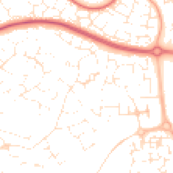
Daytime· 07:00 – 23:00
50.7dB

Night-time· 23:00 – 07:00
39.9dB