11 Redfield Road, Patchway, Bristol, BS34 6PJ
About 11 Redfield Road
11 Redfield Road is a four-bedroom semi-detached house in Patchway, Bristol, Bristol (BS34 6PJ). It has a recorded floor area of 141 m² (around 1518 sq ft), construction records dating it to before 1900 and council tax band D. The latest certificate (October 2017) shows an E (score 40), well below the UK norm with real room to improve. The recommended improvements would lift it to C (score 73), a 2-band jump. Other recorded features include a conservatory.
At 141 m² the property is well over the postcode median (94 m² across 15 EPCs), placing it in the larger end of the local stock. It lags the bulk of the postcode on energy efficiency (less efficient than 73% of similar EPCs). 3 planning records sit against the property, 3 approved, 0 refused. Past consents include an extension, meaningful when judging how the property has evolved. Today's modelled estimate of £473,000 is 41.6% above the 2019 sale price. On a £-per-square-foot basis, the last sale (£220/sq ft) was about 20.8% below the postcode norm. Last sale on file: £334,000 in October 2019.
What this property has
Inside
- Bedrooms4
- Bathrooms1
- Dining roomYes
- Utility roomYes
- EnsuiteYes
- ConservatoryYes
Outside
- ParkingOff road
Building
- RefurbishedYes
Everything you need to know about 11 Redfield Road
The true value, the hidden risks and the full sale history, in one report.
Pick your report · every report is £14.99
One time fee only - money back guarantee

The data behind every report


Energy performance
11 Redfield Road's carbon output runs well above what efficient homes in the postcode produce.
EPC Rating
Get a survey for this property
Level 3 Building Survey
Because the property was built before 1919, has been extended more than once, and has solid (non-cavity) walls, we believe a Level 3 building survey should be considered.
From £1,020 · Includes VAT
Planning history
11 Redfield Road has an approved single-storey side and rear extension on the planning record.
3 applications on record at 11 Redfield Road, Patchway, Bristol, BS34 6PJ
- Sept 2007FullOutcome in report
Erection of detached residential annexe and detached garage
- Documents
- 12 docs on file
- Reference
- PT07/2295/F
- More recent applications — locked
- ExtensionApr 2014Decision
- New BuildJan 2008Decision
Unlock 11 Redfield Road, Patchway, Bristol, BS34 6PJ's full planning history
You're seeing the shape of it. The report has the substance.
- Every decision — granted, refused or withdrawn (3 on record)
- All 3 applications on this property in full, plus 5 notable nearby
- The 47 documents, officer reports & conditions
- What the pattern means for extending or converting here
One time fee only - money back guarantee
Sales history & valuation
11 Redfield Road valuation sits well clear of the typical sold price in this postcode.
£473,000
Modelled from EPC, postcode comparables.
£334,000
Recorded with HM Land Registry.
Sales timeline
22 October 2019Most recent
£334,000
Median price across the last 5 sales in BS34 6PJ: £400,000 (2025–2021).
Nearby sales in BS34 6PJ
15 Redfield Road, Patchway, Bristol, BS34 6PJ
Sold Mar 2025
£575,00017 Redfield Road, Patchway, Bristol, BS34 6PJ
Sold May 2024
£370,0003 Clanberris Court, Redfield Road, Patchway, Bristol, BS34 6PJ
Sold Jul 2023
£370,00021 Redfield Road, Patchway, Bristol, BS34 6PJ
Sold Jan 2023
£400,00019 Redfield Road, Patchway, Bristol, BS34 6PJ
Sold Mar 2021
£455,000
Versus other Redfield Road homes
11 Redfield Road outperforms the street on habitable rooms by a wide margin.
Price per m²
£2,369
Street avg £3,078
Floor Area
141 m²
Street avg 109 m²
Habitable Rooms
8 rooms
Street avg 6 rooms
CO₂ Emissions
9.3 t/year
Street avg 5.0 t/year
Everything you need to know about 11 Redfield Road
The true value, the hidden risks and the full sale history, in one report.
Pick your report · every report is £14.99
One time fee only - money back guarantee
The data behind every report
Similar properties nearby
1 Clanberris Court, Redfield Road, Patchway
BS34 6PJ
1 Brookfield Road, Patchway
BS34 6NF
1 Elms Grove, Patchway
BS34 6NP
1 Brookcote Drive, Little Stoke
BS34 6LG
1 Cranham Drive, Patchway
BS34 6AQ
1 Bibury Avenue, Patchway
BS34 6DE
1 Bourton Avenue, Patchway
BS34 6EB
1 Bowsland Court, The Common East, Bradley Stoke
BS34 6BA
The neighbourhood at a glance
Rail-style transport is unusually close for this postcode.
Crime
6/mo
Steady year-on-year across the wider district.
Nearest stop
0.2 km
The Grove — bus stop.
Closest school
0.3 km
Holy Family Catholic Primary School. 22 schools nearby.
Go deeper on the local area
A Local Area report breaks down crime, transport links, schools and air quality in depth.
Road noise across the postcode
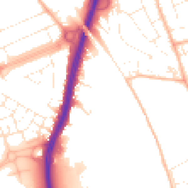
Daytime· 07:00 – 23:00
51.8dB

Night-time· 23:00 – 07:00
42.3dB