15 Fairford Crescent, Patchway, Bristol, BS34 6DH
About 15 Fairford Crescent
15 Fairford Crescent is a four-bedroom semi-detached house in Patchway, Bristol, Bristol (BS34 6DH). It has a recorded floor area of 99 m² (around 1066 sq ft), construction records dating it to 1950-1966 and council tax band D. The latest certificate (May 2018) shows an E (score 46), well below the UK norm with real room to improve. The recommended improvements would lift it to B (score 87), a 3-band jump. Our model identifies extension potential, subject to local planning policy.
2 planning records sit against the property, 2 approved, 0 refused. Past consents include an extension and partial demolition, meaningful when judging how the property has evolved. At 99 m² it's 20.7% larger than the typical home in the postcode (82 m² median across 11 EPCs). It lags the bulk of the postcode on energy efficiency (less efficient than 73% of similar EPCs). Today's modelled estimate of £440,000 is 41.9% above the 2018 sale price. Last sale on file: £310,000 in December 2018.
What this property has
Inside
- Bedrooms4
- Bathrooms1
Outside
- Private gardenFront
- GarageYes
Building
- RefurbishedYes
- Extension potentialPossible
Everything you need to know about 15 Fairford Crescent
The true value, the hidden risks and the full sale history, in one report.
Pick your report · every report is £14.99
One time fee only - money back guarantee

The data behind every report


Energy performance
15 Fairford Crescent's carbon output runs well above what efficient homes in the postcode produce.
EPC Rating
Get a survey for this property
Level 2 HomeBuyer Report
We've checked 10 risk factors against the available data for this property and believe a Level 2 HomeBuyer Report could be a suitable option for you.
From £695 · Includes VAT
Planning history
Planning history includes recorded demolition works, indicating a major rebuild phase at this address.
2 applications on record at 15 Fairford Crescent, Patchway, Bristol, BS34 6DH
- Oct 2020DemolitionFullOutcome in report
Extension: Single storey · Rear of property
Demolition of existing conservatory and garage outbuilding. Erection of single storey rear extension.
Extension- Documents
- 9 docs on file
- Reference
- P20/13241/F
- More recent applications — locked
- OutbuildingDec 2022Decision
Unlock 15 Fairford Crescent, Patchway, Bristol, BS34 6DH's full planning history
You're seeing the shape of it. The report has the substance.
- Every decision — granted, refused or withdrawn (2 on record)
- All 2 applications on this property in full, plus 5 notable nearby
- The 19 documents, officer reports & conditions
- What the pattern means for extending or converting here
One time fee only - money back guarantee
Sales history & valuation
15 Fairford Crescent valuation sits well clear of the typical sold price in this postcode.
£440,000
Modelled from EPC, postcode comparables.
£310,000
Recorded with HM Land Registry.
Sales timeline
6 December 2018Most recent
£310,000
Median price across the last 5 sales in BS34 6DH: £330,000 (2024–2021).
Nearby sales in BS34 6DH
25 Fairford Crescent, Patchway, Bristol, BS34 6DH
Sold Aug 2024
£467,0003 Fairford Crescent, Patchway, Bristol, BS34 6DH
Sold Mar 2024
£295,0007 Fairford Crescent, Patchway, Bristol, BS34 6DH
Sold Dec 2022
£365,00027 Fairford Crescent, Patchway, Bristol, BS34 6DH
Sold Sept 2021
£315,00021 Fairford Crescent, Patchway, Bristol, BS34 6DH
Sold Sept 2021
£330,000
Versus other Fairford Crescent homes
15 Fairford Crescent is notably below the street on epc rating.
Price per m²
£3,131
Street avg £3,759
Floor Area
99 m²
Street avg 90 m²
Habitable Rooms
6 rooms
Street avg 5 rooms
CO₂ Emissions
6.7 t/year
Street avg 4.8 t/year
Everything you need to know about 15 Fairford Crescent
The true value, the hidden risks and the full sale history, in one report.
Pick your report · every report is £14.99
One time fee only - money back guarantee
The data behind every report
Similar properties nearby
1 Clanberris Court, Redfield Road, Patchway
BS34 6PJ
1 Brookcote Drive, Little Stoke
BS34 6LG
1 Brookfield Road, Patchway
BS34 6NF
1 Elms Grove, Patchway
BS34 6NP
1 Bibury Avenue, Patchway
BS34 6DE
1 Cranham Drive, Patchway
BS34 6AQ
1 Bourton Avenue, Patchway
BS34 6EB
1 Brockley Close, Little Stoke
BS34 6EZ
The neighbourhood at a glance
Rail-style transport is unusually close for this postcode.
Crime
6/mo
Steady year-on-year across the wider district.
Nearest stop
0.1 km
Bourton Avenue — bus stop.
Closest school
0.3 km
Holy Family Catholic Primary School. 20 schools nearby.
Go deeper on the local area
A Local Area report breaks down crime, transport links, schools and air quality in depth.
Road noise across the postcode
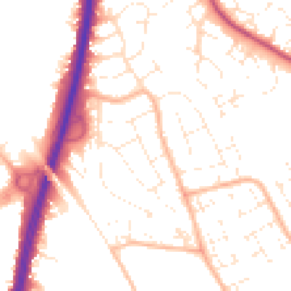
Daytime· 07:00 – 23:00
52.4dB

Night-time· 23:00 – 07:00
42.5dB