46 Wood Street, Patchway, Bristol, BS34 5AG
About 46 Wood Street
46 Wood Street is a four-bedroom mid-terrace house in Patchway, Bristol, Bristol (BS34 5AG). It has a recorded floor area of 108 m² (around 1163 sq ft), construction records dating it to 2007-2011 and council tax band D. The latest certificate (January 2021) shows a C (score 80), near the top of the C band. Earlier certificates rated it B (November 2010); the latest reading is one band lower. Between certificates, wall efficiency dropped from Very Good to Good and window efficiency dropped from Very Good to Good. The recommended improvements would push it to B (score 90).
Today's modelled estimate of £375,000 is 19% above the 2021 sale price. On a £-per-square-foot basis, the last sale (£271/sq ft) was about 17.8% above the typical sold price in the postcode. Last sale on file: £315,000 in June 2021. That sale was during the post-pandemic price surge, when transactions cleared materially above pre-2020 trend.
What this property has
Inside
- Bedrooms4
- Bathrooms3
- EnsuiteYes
Outside
- GarageYes
Everything you need to know about 46 Wood Street
The true value, the hidden risks and the full sale history, in one report.
Pick your report · every report is £14.99
One time fee only - money back guarantee

The data behind every report


Energy performance
EPC Rating
Get a survey for this property
Level 2 HomeBuyer Report
We've checked 10 risk factors against the available data for this property and believe a Level 2 HomeBuyer Report could be a suitable option for you.
From £595 · Includes VAT
Planning history
46 Wood Street has no planning applications on record.
But the area is active
11 notable applications nearby — larger schemes and conversions that could reshape the street. The report maps them all.
Sales history & valuation
The latest sale landed in the post-pandemic price surge — useful context when reading the figure.
£375,000
Modelled from EPC, postcode comparables.
£315,000
Recorded with HM Land Registry.
Sales timeline
17 June 2021Most recent
£315,000
Median price across the last 5 sales in BS34 5AG: £350,000 (2025–2024).
Nearby sales in BS34 5AG
70 Wood Street, Patchway, Bristol, BS34 5AG
Sold Jun 2025
£365,0006 Wood Street, Patchway, Bristol, BS34 5AG
Sold Jan 2025
£350,0008 Wood Street, Patchway, Bristol, BS34 5AG
Sold Nov 2024
£356,000100 Wood Street, Patchway, Bristol, BS34 5AG
Sold Jun 2024
£240,00048 Wood Street, Patchway, Bristol, BS34 5AG
Sold Jun 2024
£349,000
Versus other Wood Street homes
Price per m²
£2,917
Street avg £2,657
Floor Area
108 m²
Street avg 95 m²
Habitable Rooms
5 rooms
Street avg 5 rooms
CO₂ Emissions
2.1 t/year
Street avg 1.9 t/year
Everything you need to know about 46 Wood Street
The true value, the hidden risks and the full sale history, in one report.
Pick your report · every report is £14.99
One time fee only - money back guarantee
The data behind every report
Similar properties nearby
1 Brighton Road, Patchway
BS34 5EL
1 Blakeney Road, Patchway
BS34 5LY
1 Calves Garden, Patchway
BS34 5GZ
1 Buckleys Road, Patchway
BS34 5BJ
1 Broad Croft, Patchway
BS34 5FS
1 Clermont Close, Patchway
BS34 5QJ
1 Eamoth Ground, Patchway
BS34 5SR
1 Eagle Drive, Patchway
BS34 5RJ
The neighbourhood at a glance
Crime
6/mo
Steady year-on-year across the wider district.
Nearest stop
0.2 km
High Leaze Road — bus stop.
Closest school
0.1 km
Charlton Wood Primary Academy. 23 schools nearby.
Go deeper on the local area
A Local Area report breaks down crime, transport links, schools and air quality in depth.
Road noise across the postcode
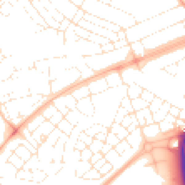
Daytime· 07:00 – 23:00
51.3dB

Night-time· 23:00 – 07:00
39.6dB