97 Hawes Lane, West Wickham, BR4 0DG
About 97 Hawes Lane
97 Hawes Lane is a four-bedroom detached house in West Wickham (BR4 0DG). It has a recorded floor area of 183 m² (around 1970 sq ft), construction records dating it to 1930-1949 and council tax band G. The latest certificate (February 2014) shows an E (score 51), well below the UK norm with real room to improve. The rating has held steady at E across 2 certificates since October 2008. Between certificates, wall efficiency went from Very Poor to Good and roof efficiency went from Very Poor to Very Good; while hot-water efficiency dropped from Good to Very Poor and main heating dropped from Very Good to Good. The recommended improvements would push it to D (score 68). The latest certificate is from February 2014, so improvements made since then won't be reflected.
At 183 m² the property is well over the postcode median (138 m² across 4 EPCs), placing it in the larger end of the local stock. Last sale on file: £985,000 in July 2018. Across the public record there are 4 sales, relatively high churn for a single property. 3 planning records sit against the property, 2 approved, 1 refused. Past consents include an extension and a porch, meaningful when judging how the property has evolved. Across 2004–2018, sale prices on this property compounded at 5.4% per year. Today's modelled estimate of £1,173,000 is 19.1% above the 2018 sale price. On a £-per-square-foot basis, the last sale (£500/sq ft) was about 17.7% above the typical sold price in the postcode.
Know exactly what you're buying at 97 Hawes Lane
Before you offer, see what the listing won't tell you, the true value, the red flags and the full history.
Already flagged here
Valuation
against the asking price
Risks
planning & flood
Sold prices
similar homes nearby
Trends
the local market
What this property has
Inside
- Bedrooms4
- Bathrooms2
- Open-plan layoutYes
- Dining roomYes
- Utility roomYes
- CloakroomYes
- EnsuiteYes
Outside
- Private gardenYes
Energy performance
97 Hawes Lane's carbon output runs well above what efficient homes in the postcode produce.
EPC Expired
This certificate is over 10 years old and is no longer valid.Expired 07 Feb 2024
EPC Rating
Property Improvements
Changes detected from historical EPC data
Hot water system changed
Cavity wall insulation installed
Loft insulation installed or upgraded to 250mm+
Planning history
97 Hawes Lane has been extended on multiple sides of the property across separate planning applications.
- Oct 2008PorchFullIn report
Extension: Single storey · Side and rear of property
Single storey side/rear extensions and single storey front porch extension
Extension- Documents
- 10 docs on file
- Reference
- 08/02894/FULL6
- Dec 2005PorchFullIn report
Extension: Side and rear of property
Single storey side/rear and front porch extensions
Extension- Documents
- 15 docs on file
- Reference
- 05/03866/FULL6
We flagged 1 thing worth checking at 97 Hawes Lane
Independent checks surfaced things a buyer would want to understand before offering. The report explains each one in full, with the underlying data and what to ask.
- Larger development activity nearby
30-day money-back guarantee
Sales history & valuation
97 Hawes Lane has more than doubled in price since the earliest registered sale in 2004.
£1,173,000
Modelled from EPC, postcode comparables and a sale-price growth of 5.4% per year over 14 years.
£985,000
Growth on file: 5.4% per year over 14 years.
Sales timeline
31 July 2018Most recent
£985,000
+14.5%over 4 years26 June 2014
£860,000
+72.0%over 7 years7 September 2006
£500,000
+5.3%over 1 year29 September 2004
£475,000
Median price across the last 5 sales in BR4 0DG: £750,000 (2025–2012).
Everything we know about 97 Hawes Lane, in one report
What it's really worth, what could be wrong, and the planning, sales and area data in full.
What we flagged
- Larger development activity nearby

Versus other Hawes Lane homes
97 Hawes Lane is notably below the street on years held.
Price per m²
£5,383
Street avg £5,420
Floor Area
183 m²
Street avg 155 m²
Habitable Rooms
6 rooms
Street avg 5 rooms
CO₂ Emissions
8.7 t/year
Street avg 10.2 t/year
Similar properties nearby
The neighbourhood at a glance
Rail-style transport is unusually close for this postcode.
Crime
3/mo
Steady year-on-year across the wider district.
Nearest stop
0.4 km
Station Road / High Street — bus stop.
Closest school
0.2 km
Hawes Down Primary School. 28 schools nearby.
Go deeper on the local area
The full report breaks down crime, transport links, schools and air quality in depth.
Road noise across the postcode
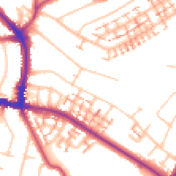
Daytime· 07:00 – 23:00
52.6dB

Night-time· 23:00 – 07:00
41.9dB