26a, Kemp Road, Bournemouth, BH9 2PW
About 26a
26a is a detached house in Bournemouth (BH9 2PW). It has a recorded floor area of 78 m² (around 840 sq ft), construction records dating it to 1950-1966 and council tax band C. The latest certificate (July 2023) shows a C (score 70). When first surveyed in June 2013 the rating was D, the property has climbed 1 band since. Between certificates, window efficiency went from Very Poor to Average; while wall efficiency dropped from Good to Average. The recommended improvements would push it to B (score 85).
Today's modelled estimate of £266,000 sits 77.3% above the 2022 sale of £150,000. On a £-per-square-foot basis, the last sale (£179/sq ft) was about 21.4% below the postcode norm. Most recent transfer: December 2022 at £150,000. That sale was during the post-pandemic price surge, when transactions cleared materially above pre-2020 trend.
Everything you need to know about 26a
The true value, the hidden risks and the full sale history, in one report.
Pick your report · every report is £14.99
One time fee only - money back guarantee

The data behind every report


Energy performance
EPC Rating
Property Improvements
Changes detected from historical EPC data
Heating controls upgraded for better temperature management
Single glazing replaced with double or better glazing
Get a survey for this property
Level 2 HomeBuyer Report
We've checked 10 risk factors against the available data for this property and believe a Level 2 HomeBuyer Report could be a suitable option for you.
From £545 · Includes VAT
Planning history
26a has no planning applications on record.
But the area is active
71 notable applications nearby — larger schemes and conversions that could reshape the street. The report maps them all.
Sales history & valuation
26a's sale-price growth has lagged the wider UK trajectory across its history on file.
£266,000
Modelled from EPC, postcode comparables and a sale-price growth of -0.1% per year over 16 years.
£150,000
Growth on file: -0.1% per year over 16 years.
Sales timeline
21 December 2022Most recent
£150,000
-5.4%21 December 2022
£158,500
+3.9%over 16 years8 December 2006
£152,500
Median price across the last 5 sales in BH9 2PW: £339,000 (2025–2022).
Nearby sales in BH9 2PW
Versus other Kemp Road homes
Years Held for 26a lags the street by a wide margin.
Price per m²
£2,032
Street avg £2,910
Floor Area
78 m²
Street avg 91 m²
Habitable Rooms
4 rooms
Street avg 5 rooms
CO₂ Emissions
2.7 t/year
Street avg 3.5 t/year
Everything you need to know about 26a
The true value, the hidden risks and the full sale history, in one report.
Pick your report · every report is £14.99
One time fee only - money back guarantee
The data behind every report
Similar properties nearby
The neighbourhood at a glance
Crime
4/mo
Steady year-on-year across the wider district.
Nearest stop
0.1 km
Lidl — bus stop.
Closest school
0.5 km
St Luke's Church of England Primary School. 26 schools nearby.
Go deeper on the local area
A Local Area report breaks down crime, transport links, schools and air quality in depth.
Road noise across the postcode
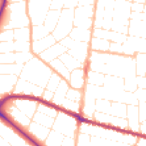
Daytime· 07:00 – 23:00
50.2dB

Night-time· 23:00 – 07:00
39.8dB