Alice Court, Flat 1, 474 Holdenhurst Road, Bournemouth, BH8 9AQ
About Alice Court
Alice Court is a semi-detached house in Bournemouth (BH8 9AQ). It has a recorded floor area of 37 m² (around 398 sq ft), construction records dating it to 2012 onwards and council tax band A. The latest certificate (July 2024) shows a C (score 80), near the top of the C band. Earlier certificates rated it B (June 2014); the latest reading is one band lower. Between certificates, window efficiency dropped from Very Good to Good.
Everything you need to know about Alice Court
The true value, the hidden risks and the full sale history, in one report.
Pick your report · every report is £14.99
One time fee only - money back guarantee

The data behind every report


Energy performance
Alice Court's carbon output is low for the local stock.
EPC Rating
Get a survey for this property
Level 2 HomeBuyer Report
We've checked 10 risk factors against the available data for this property and believe a Level 2 HomeBuyer Report could be a suitable option for you.
From £495 · Includes VAT
Planning history
Alice Court has no planning applications on record.
But the area is active
7 notable applications nearby — larger schemes and conversions that could reshape the street. The report maps them all.
Sales history & valuation
Alice Court has no Land Registry sales on file, suggesting it has stayed in the same hands since registration began.
£160,000
Modelled from EPC, postcode comparables.
No sales recorded with HM Land Registry
That can mean the property has never traded since the registry began publishing in 1995, was a new build that hasn't been registered yet, or is held in the same hands long-term.
Median price across the last 5 sales in BH8 9AQ: £135,000 (2024–2022).
Nearby sales in BH8 9AQ
Flat 5, 476 Holdenhurst Road, Bournemouth, BH8 9AQ
Sold Jun 2024
£125,000Flat 6, 476 Holdenhurst Road, Bournemouth, BH8 9AQ
Sold Nov 2022
£135,000Flat 3, 476 Holdenhurst Road, Bournemouth, BH8 9AQ
Sold Oct 2022
£165,000472b, Holdenhurst Road, Bournemouth, BH8 9AQ
Sold Jul 2022
£129,000Flat 4, 476 Holdenhurst Road, Bournemouth, BH8 9AQ
Sold Apr 2022
£157,000
Versus other Holdenhurst Road homes
On epc rating, Alice Court stands well clear of the street.
EPC Rating
80 (C)
Street avg 70 (C)
Floor Area
37 m²
Street avg 45 m²
CO₂ Emissions
0.9 t/year
Street avg 1.9 t/year
Habitable Rooms
2 rooms
Street avg 3 rooms
Everything you need to know about Alice Court
The true value, the hidden risks and the full sale history, in one report.
Pick your report · every report is £14.99
One time fee only - money back guarantee
The data behind every report
Similar properties nearby
359a, Flat 3, Charminster Road
BH8 9QR
359a, Flat 1, Charminster Road
BH8 9QR
Alice Court, Flat 2, 474 Holdenhurst Road
BH8 9AQ
359a, Flat 2, Charminster Road
BH8 9QR
Alice Court, Flat 6, 474 Holdenhurst Road
BH8 9AQ
Alice Court, Flat 3, 474 Holdenhurst Road
BH8 9AQ
Alice Court, Flat 4, 474 Holdenhurst Road
BH8 9AQ
Alice Court, Flat 8, 474 Holdenhurst Road
BH8 9AQ
The neighbourhood at a glance
Crime
14/mo
Steady year-on-year across the wider district.
Nearest stop
0.1 km
Queens Park Hotel — bus stop.
Closest school
0.5 km
King's Park Academy. 24 schools nearby.
Go deeper on the local area
A Local Area report breaks down crime, transport links, schools and air quality in depth.
Road noise across the postcode
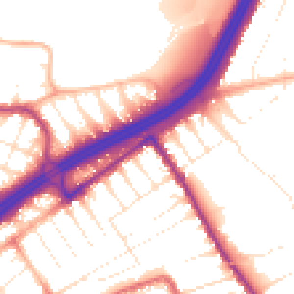
Daytime· 07:00 – 23:00
54.7dB

Night-time· 23:00 – 07:00
45.9dB