472a, Holdenhurst Road, Bournemouth, BH8 9AQ
About 472a
472a is a detached house in Bournemouth (BH8 9AQ). It has a recorded floor area of 45 m² (around 484 sq ft), construction records dating it to 1950-1966 and council tax band A. At 45 m² this is the 15th smallest of 23 units on EPC record in the building, where floor areas span 27–129 m². The building's EPC ratings span E to B, with this unit at the bottom. On EPC score it ranks last in the building (51 versus a best of 81). The latest certificate (October 2016) shows an E (score 51), well below the UK norm with real room to improve. Earlier certificates rated it D (November 2010); the latest reading is one band lower. Between certificates, hot-water efficiency went from Good to Very Good; while lighting dropped from Poor to Very Poor. The recommended improvements would lift it to C (score 73), a 2-band jump.
At 45 m² it's 20% larger than the typical home in the postcode (38 m² median across 22 EPCs). On energy efficiency it sits in the bottom 10% of properties in this postcode — significant headroom for improvement. Across 1999–2019, sale prices on this property compounded at -6.2% per year. Today's modelled estimate of £137,000 sits 1381.1% above the 2019 sale of £9,250. On a £-per-square-foot basis, the last sale (£19/sq ft) was about 93.2% below the postcode norm. Last sale on file: £9,250 in December 2019.
Everything you need to know about 472a
The true value, the hidden risks and the full sale history, in one report.
Pick your report · every report is £14.99
One time fee only - money back guarantee

The data behind every report


Energy performance
472a sits at the bottom of the postcode for energy efficiency — meaningful headroom to improve.
EPC Rating
Property Improvements
Changes detected from historical EPC data
Heating controls upgraded for better temperature management
Hot water efficiency improved
Low energy lighting percentage decreased
Get a survey for this property
Level 2 HomeBuyer Report
We've checked 10 risk factors against the available data for this property and believe a Level 2 HomeBuyer Report could be a suitable option for you.
From £495 · Includes VAT
Planning history
472a has no planning applications on record.
But the area is active
7 notable applications nearby — larger schemes and conversions that could reshape the street. The report maps them all.
Sales history & valuation
Latest sale on 472a was the lowest on Land Registry record across the postcode.
£137,000
Modelled from EPC, postcode comparables and a sale-price growth of -6.2% per year over 21 years.
£9,250
Growth on file: -6.2% per year over 21 years.
Sales timeline
12 December 2019Most recent
£9,250
-86.4%over 16 years21 August 2003
£68,000
+94.3%over 4 years21 April 1999
£35,000
Median price across the last 5 sales in BH8 9AQ: £135,000 (2024–2022).
Nearby sales in BH8 9AQ
Flat 5, 476 Holdenhurst Road, Bournemouth, BH8 9AQ
Sold Jun 2024
£125,000Flat 6, 476 Holdenhurst Road, Bournemouth, BH8 9AQ
Sold Nov 2022
£135,000Flat 3, 476 Holdenhurst Road, Bournemouth, BH8 9AQ
Sold Oct 2022
£165,000472b, Holdenhurst Road, Bournemouth, BH8 9AQ
Sold Jul 2022
£129,000Flat 4, 476 Holdenhurst Road, Bournemouth, BH8 9AQ
Sold Apr 2022
£157,000
Versus other Holdenhurst Road homes
472a is notably below the street on price per m².
Price per m²
£206
Street avg £3,478
Floor Area
45 m²
Street avg 44 m²
Habitable Rooms
2 rooms
Street avg 3 rooms
CO₂ Emissions
3.4 t/year
Street avg 1.8 t/year
Everything you need to know about 472a
The true value, the hidden risks and the full sale history, in one report.
Pick your report · every report is £14.99
One time fee only - money back guarantee
The data behind every report
Similar properties nearby
1 Cherry Tree Lodge, 289 Castle Lane West
BH8 9TG
1 Charminster Place
BH8 9SP
1 Cooper Dean Drive
BH8 9LN
1 Longbarrow Close
BH8 9LL
1 Craigmoor Court, Craigmoor Avenue
BH8 9BE
1 Mallard Road
BH8 9PP
1 Chapel Gardens
BH8 9BS
1 Bradpole Road
BH8 9NX
The neighbourhood at a glance
Crime
14/mo
Steady year-on-year across the wider district.
Nearest stop
0.1 km
Queens Park Hotel — bus stop.
Closest school
0.5 km
King's Park Academy. 24 schools nearby.
Go deeper on the local area
A Local Area report breaks down crime, transport links, schools and air quality in depth.
Road noise across the postcode
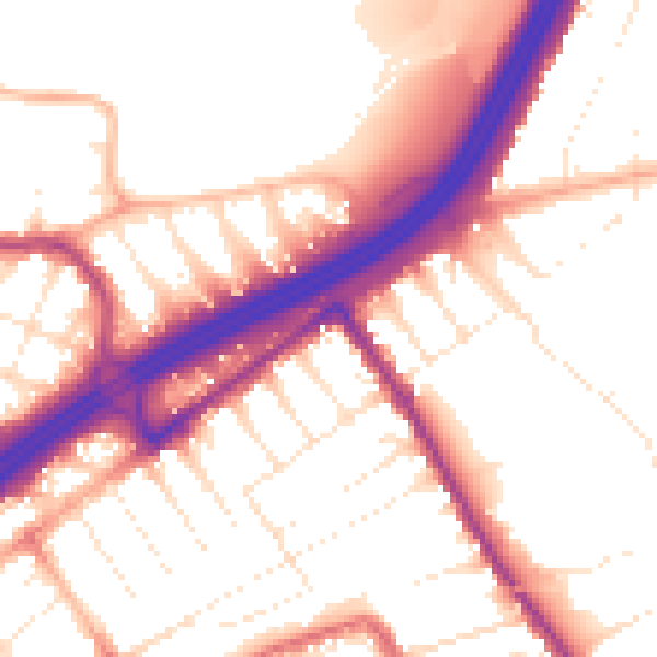
Daytime· 07:00 – 23:00
54.7dB

Night-time· 23:00 – 07:00
45.9dB