1 Mallard Road, Bournemouth, BH8 9PP
About 1 Mallard Road
1 Mallard Road is a mid-terrace house in Bournemouth (BH8 9PP). It has a recorded floor area of 101 m² (around 1087 sq ft), construction records dating it to 1930-1949 and council tax band C. The latest certificate (March 2014) shows a D (score 67), on the cusp of jumping into the C band. The recommended improvements would lift it to B (score 88), a 2-band jump. The latest certificate is from March 2014, so improvements made since then won't be reflected.
It hasn't traded since June 2001, a hold of 25 years that's notably long for the area. Across 1996–2001, sale prices on this property compounded at 11% per year. Today's modelled estimate of £313,000 sits 234.8% above the 2001 sale of £93,500. On a £-per-square-foot basis, the last sale (£86/sq ft) was about 67.7% below the postcode norm. At 101 m² it's 17.4% larger than the typical home in the postcode (86 m² median across 9 EPCs).
Everything you need to know about 1 Mallard Road
The true value, the hidden risks and the full sale history, in one report.
Pick your report · every report is £14.99
One time fee only - money back guarantee

The data behind every report


Energy performance
Recommended upgrades on file would lift this property by multiple EPC bands.
EPC Expired
This certificate is over 10 years old and is no longer valid.Expired 16 Mar 2024
EPC Rating
Get a survey for this property
Level 2 HomeBuyer Report
We've checked 10 risk factors against the available data for this property and believe a Level 2 HomeBuyer Report could be a suitable option for you.
From £595 · Includes VAT
Planning history
1 Mallard Road has no planning applications on record.
But the area is active
7 notable applications nearby — larger schemes and conversions that could reshape the street. The report maps them all.
Sales history & valuation
1 Mallard Road's modelled value sits at over four times its earliest registered sale price (1996).
£313,000
Modelled from EPC, postcode comparables and a sale-price growth of 11.0% per year over 5 years.
£93,500
Growth on file: 11.0% per year over 5 years.
Sales timeline
28 June 2001Most recent
£93,500
+64.0%over 4 years26 September 1996
£57,000
Median price across the last 5 sales in BH8 9PP: £259,000 (2025–2017).
Nearby sales in BH8 9PP
Versus other Mallard Road homes
Price per m² for 1 Mallard Road lags the street by a wide margin.
Price per m²
£926
Street avg £2,773
Floor Area
101 m²
Street avg 86 m²
Habitable Rooms
6 rooms
Street avg 4 rooms
CO₂ Emissions
3.6 t/year
Street avg 3.6 t/year
Everything you need to know about 1 Mallard Road
The true value, the hidden risks and the full sale history, in one report.
Pick your report · every report is £14.99
One time fee only - money back guarantee
The data behind every report
Similar properties nearby
1 Chapel Gardens
BH8 9BS
1 Bradpole Road
BH8 9NX
1 Craigmoor Court, Craigmoor Avenue
BH8 9BE
1 Longbarrow Close
BH8 9LL
1 Chigwell Road
BH8 9HW
1 Cooper Dean Drive
BH8 9LN
1 Cromer Road
BH8 9BW
1 Midwood Avenue
BH8 9LX
The neighbourhood at a glance
Daytime road noise here sits well below conversation level — a quiet pocket of the postcode.
Crime
14/mo
Steady year-on-year across the wider district.
Nearest stop
0.1 km
Mallard Road — bus stop.
Closest school
0.3 km
The Bishop of Winchester Academy. 23 schools nearby.
Go deeper on the local area
A Local Area report breaks down crime, transport links, schools and air quality in depth.
Road noise across the postcode
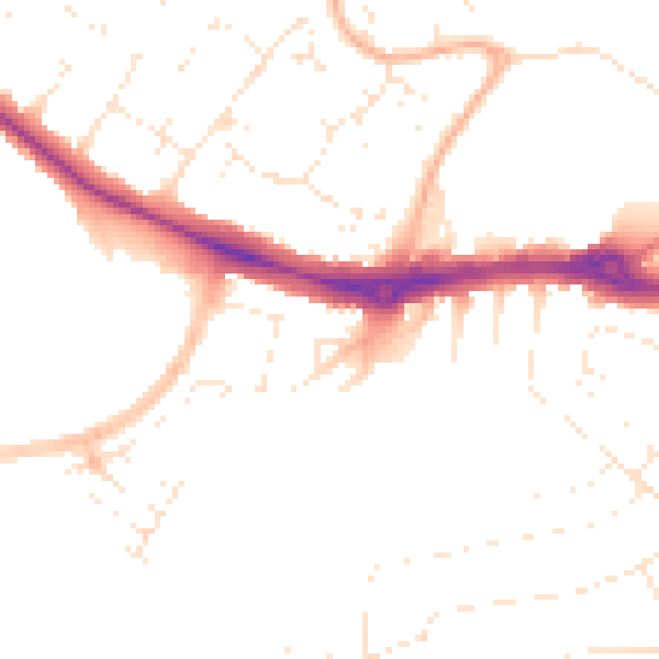
Daytime· 07:00 – 23:00
49.3dB

Night-time· 23:00 – 07:00
39.5dB