Greenacres 22, Penthouse C, The Avenue, Poole, BH13 6AL
About Greenacres 22
Greenacres 22 is a three-bedroom mid-terrace house in Poole (BH13 6AL). It has a recorded floor area of 169 m² (around 1819 sq ft), construction records dating it to 1967-1975 and council tax band F. At 169 m² this is the 15th smallest of 17 units on EPC record in Greenacres 22, where floor areas span 92–187 m². The building's EPC ratings span E to B, with this unit at the bottom. On EPC score it ranks last in the building (50 versus a best of 81). Other recorded features include a balcony. The latest certificate (February 2018) shows an E (score 50), well below the UK norm with real room to improve. The recommended improvements would push it to D (score 60).
At 169 m² the property is well over the postcode median (102 m² across 16 EPCs), placing it in the larger end of the local stock. On energy efficiency it sits in the bottom 10% of properties in this postcode — significant headroom for improvement. On a £-per-square-foot basis, the last sale (£289/sq ft) was about 36.7% above the typical sold price in the postcode. Last sale on file: £525,000 in April 2019.
What this property has
Inside
- Bedrooms3
- Bathrooms2
- EnsuiteYes
Outside
- Communal gardenYes
- GarageYes
- BalconyYes
Building
- Central heatingYes
- RefurbishedYes
Everything you need to know about Greenacres 22
The true value, the hidden risks and the full sale history, in one report.
Pick your report · every report is £14.99
One time fee only - money back guarantee

The data behind every report


Energy performance
Greenacres 22 sits at the bottom of the postcode for energy efficiency — meaningful headroom to improve.
EPC Rating
Get a survey for this property
Level 2 HomeBuyer Report
We've checked 10 risk factors against the available data for this property and believe a Level 2 HomeBuyer Report could be a suitable option for you.
From £795 · Includes VAT
Planning history
Greenacres 22 has no planning applications on record.
But the area is active
5 notable applications nearby — larger schemes and conversions that could reshape the street. The report maps them all.
Sales history & valuation
£565,000
Modelled from EPC, postcode comparables.
£525,000
Recorded with HM Land Registry.
Sales timeline
8 April 2019Most recent
£525,000
Median price across the last 3 sales in BH13 6AL: £340,500 (2016–1998).
Versus other The Avenue homes
Greenacres 22 is notably below the street on epc rating.
EPC Rating
50 (E)
Street avg 72 (C)
Floor Area
169 m²
Street avg 112 m²
CO₂ Emissions
8.4 t/year
Street avg 3.4 t/year
Habitable Rooms
7 rooms
Street avg 4 rooms
Everything you need to know about Greenacres 22
The true value, the hidden risks and the full sale history, in one report.
Pick your report · every report is £14.99
One time fee only - money back guarantee
The data behind every report
Similar properties nearby
The neighbourhood at a glance
Crime
8/mo
Steady year-on-year across the wider district.
Nearest stop
0.1 km
The Avenue — bus stop.
Closest school
1.5 km
St Michael's Church of England Primary School. 12 schools nearby.
Go deeper on the local area
A Local Area report breaks down crime, transport links, schools and air quality in depth.
Road noise across the postcode
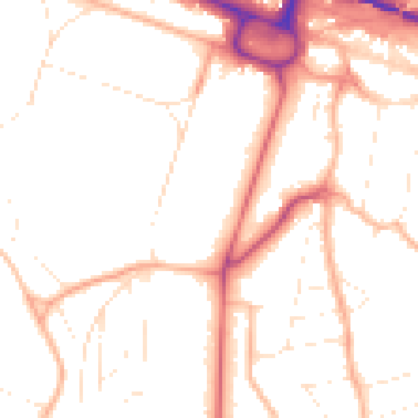
Daytime· 07:00 – 23:00
50.2dB

Night-time· 23:00 – 07:00
40.3dB