28 Haworth Grove, Bradford, BD9 5PE
About 28 Haworth Grove
28 Haworth Grove is an end-of-terrace house in Bradford (BD9 5PE). It has a recorded floor area of 123 m² (around 1324 sq ft), construction records dating it to 1976-1982 and council tax band C. The latest certificate (September 2013) shows a D (score 68), on the cusp of jumping into the C band. The recommended improvements would lift it to B (score 82), a 2-band jump. The latest certificate is from September 2013, so improvements made since then won't be reflected.
It hasn't traded since April 2007, a hold of 19 years that's notably long for the area. That sale landed at the peak of the pre-credit-crunch market, which is a useful reference point when interpreting the price. Across 2001–2007, sale prices on this property compounded at 20.4% per year. Today's modelled estimate of £232,000 is 41.9% above the 2007 sale price. On a £-per-square-foot basis, the last sale (£123/sq ft) was about 22.1% above the typical sold price in the postcode. One historical planning record sits against the property in 2007.
Everything you need to know about 28 Haworth Grove
The true value, the hidden risks and the full sale history, in one report.
30-day money-back guarantee

The data behind every report


Energy performance
Recommended upgrades on file would lift this property by multiple EPC bands.
EPC Expired
This certificate is over 10 years old and is no longer valid.Expired 21 Sept 2023
EPC Rating
Planning history
- Feb 2007Garage ConversionOutlineIn report
Conversion of a garage into a living room
- Reference
- 07/01245/PHH
We flagged 1 thing worth checking at 28 Haworth Grove
Independent checks surfaced things a buyer would want to understand before offering. The report explains each one in full, with the underlying data and what to ask.
- Signs of HMO activity in the area
30-day money-back guarantee
Sales history & valuation
28 Haworth Grove has more than doubled in price since the earliest registered sale in 2001.
£232,000
Modelled from EPC, postcode comparables and a sale-price growth of 20.4% per year over 5 years.
£163,500
Growth on file: 20.4% per year over 5 years.
Sales timeline
16 April 2007Most recent
£163,500
+32.9%over 1 year4 May 2005
£123,000
+105.0%over 3 years23 November 2001
£59,995
Median price across the last 5 sales in BD9 5PE: £245,000 (2025–2020).
Nearby sales in BD9 5PE
Versus other Haworth Grove homes
28 Haworth Grove outperforms the street on epc rating by a wide margin.
Price per m²
£1,329
Street avg £1,565
Floor Area
123 m²
Street avg 125 m²
Habitable Rooms
5 rooms
Street avg 5 rooms
CO₂ Emissions
4.3 t/year
Street avg 5.7 t/year
Everything you need to know about 28 Haworth Grove
The true value, the hidden risks and the full sale history, in one report.
30-day money-back guarantee
The data behind every report
Similar properties nearby
The neighbourhood at a glance
Reported crime in the wider district is trending notably upward year-on-year.
Crime
8/mo
Rising year-on-year across the wider district.
Nearest stop
0.1 km
Toller Ln Toller Drive — bus stop.
Closest school
0.7 km
St Bede's and St Joseph's Catholic College, A Voluntary Academy. 46 schools nearby.
Go deeper on the local area
The full report breaks down crime, transport links, schools and air quality in depth.
Road noise across the postcode
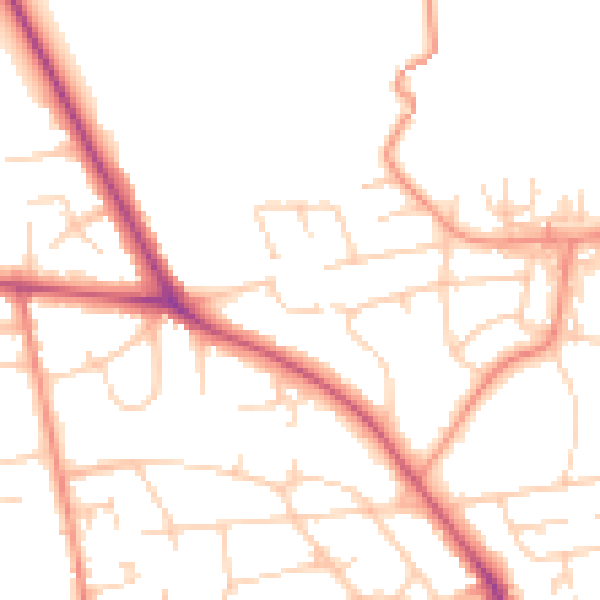
Daytime· 07:00 – 23:00
49.8dB

Night-time· 23:00 – 07:00
39.8dB