7 Haworth Grove, Bradford, BD9 5PE
About 7 Haworth Grove
7 Haworth Grove is a three-bedroom detached house in Bradford (BD9 5PE). It has a recorded floor area of 94 m² (around 1012 sq ft), construction records dating it to 1967-1975 and council tax band D. The latest certificate (May 2017) shows a D (score 63), on the cusp of jumping into the C band. The recommended improvements would lift it to B (score 82), a 2-band jump. The home occupies a cul-de-sac position.
Most recent transfer was January 2025 at £245,000 — fresh data. Across 2017–2025, sale prices on this property compounded at 3.9% per year. On a £-per-square-foot basis, the last sale (£242/sq ft) was about 154.4% above the typical sold price in the postcode. At 94 m² it's 23.6% smaller than the typical home in the postcode (123 m² median across 11 EPCs).
What this property has
Inside
- Bedrooms3
- Bathrooms2
Outside
- Private gardenFront and rear
- GarageYes
- Cul-de-sacYes
Everything you need to know about 7 Haworth Grove
The true value, the hidden risks and the full sale history, in one report.
30-day money-back guarantee

The data behind every report


Energy performance
Recommended upgrades on file would lift this property by multiple EPC bands.
EPC Rating
Planning history
7 Haworth Grove has no planning applications on record.
Notable planning nearby
4applications of note in the surrounding area
We flagged 1 thing worth checking at 7 Haworth Grove
Independent checks surfaced things a buyer would want to understand before offering. The report explains each one in full, with the underlying data and what to ask.
- Signs of HMO activity in the area
30-day money-back guarantee
Sales history & valuation
7 Haworth Grove valuation sits well clear of the typical sold price in this postcode.
£262,000
Modelled from EPC, postcode comparables and a sale-price growth of 3.9% per year over 7 years.
£245,000
Growth on file: 3.9% per year over 7 years.
Sales timeline
16 January 2025Most recent
£245,000
+32.4%over 7 years28 September 2017
£185,000
Median price across the last 5 sales in BD9 5PE: £186,500 (2024–2018).
Nearby sales in BD9 5PE
Versus other Haworth Grove homes
On years held, 7 Haworth Grove runs well behind the street norm.
Price per m²
£2,606
Street avg £1,449
Floor Area
94 m²
Street avg 128 m²
Habitable Rooms
5 rooms
Street avg 5 rooms
CO₂ Emissions
4.6 t/year
Street avg 5.7 t/year
Everything you need to know about 7 Haworth Grove
The true value, the hidden risks and the full sale history, in one report.
30-day money-back guarantee
The data behind every report
Similar properties nearby
The neighbourhood at a glance
Reported crime in the wider district is trending notably upward year-on-year.
Crime
8/mo
Rising year-on-year across the wider district.
Nearest stop
0.1 km
Toller Ln Toller Drive — bus stop.
Closest school
0.7 km
St Bede's and St Joseph's Catholic College, A Voluntary Academy. 46 schools nearby.
Go deeper on the local area
The full report breaks down crime, transport links, schools and air quality in depth.
Road noise across the postcode
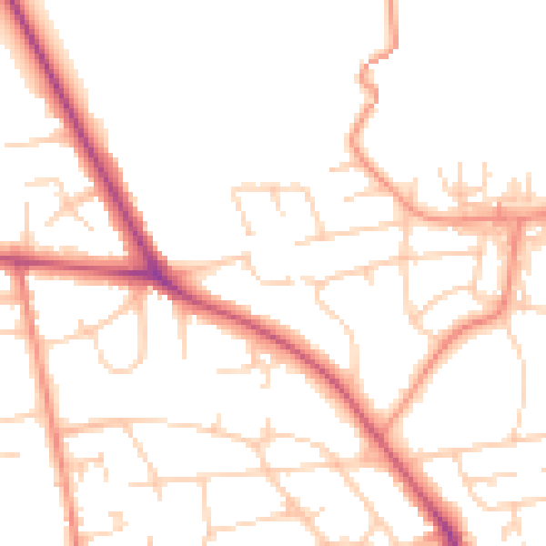
Daytime· 07:00 – 23:00
49.8dB

Night-time· 23:00 – 07:00
39.8dB