1119 Bolton Road, Bradford, BD2 4SP
About 1119 Bolton Road
1119 Bolton Road is a three-bedroom mid-terrace house in Bradford (BD2 4SP). It has a recorded floor area of 116 m² (around 1249 sq ft), construction records dating it to 1900-1929 and council tax band B. The latest certificate (March 2023) shows an E (score 50), well below the UK norm with real room to improve. The rating has held steady at E across 2 certificates since June 2021. Between certificates, window efficiency dropped from Good to Average. The recommended improvements would lift it to B (score 82), a 3-band jump. Records show the property has been extended at some point in its history.
At 116 m² the property is well over the postcode median (87 m² across 8 EPCs), placing it in the larger end of the local stock. Across 1999–2021, sale prices on this property compounded at 4.2% per year. Today's modelled estimate of £167,000 is 33.6% above the 2021 sale price. On a £-per-square-foot basis, the last sale (£100/sq ft) was about 27.3% below the postcode norm. Most recent transfer: November 2021 at £125,000. That sale was during the post-pandemic price surge, when transactions cleared materially above pre-2020 trend.
What this property has
Inside
- Bedrooms3
- Bathrooms1
- Dining roomYes
Outside
- Private gardenYes
Building
- Central heatingYes
- Previously extendedYes
Everything you need to know about 1119 Bolton Road
The true value, the hidden risks and the full sale history, in one report.
Pick your report · every report is £14.99
One time fee only - money back guarantee

The data behind every report


Energy performance
1119 Bolton Road's carbon output runs well above what efficient homes in the postcode produce.
EPC Rating
Property Improvements
Changes detected from historical EPC data
Floor insulation added or improved
Get a survey for this property
Level 3 Building Survey
Because the property was built before 1919 and has been extended more than once, we believe a Level 3 building survey should be considered.
From £820 · Includes VAT
Planning history
1119 Bolton Road has no planning applications on record.
But the area is active
2 notable applications nearby — larger schemes and conversions that could reshape the street. The report maps them all.
Sales history & valuation
1119 Bolton Road has more than doubled in price since the earliest registered sale in 1999.
£167,000
Modelled from EPC, postcode comparables and a sale-price growth of 4.2% per year over 23 years.
£125,000
Growth on file: 4.2% per year over 23 years.
Sales timeline
23 November 2021Most recent
£125,000
+111.9%over 19 years30 July 2002
£58,995
+18.1%over 3 years20 May 1999
£49,950
Median price across the last 5 sales in BD2 4SP: £155,000 (2022–2015).
Nearby sales in BD2 4SP
Versus other Bolton Road homes
1119 Bolton Road is notably below the street on years held.
Price per m²
£1,078
Street avg £1,526
Floor Area
116 m²
Street avg 98 m²
Habitable Rooms
6 rooms
Street avg 5 rooms
CO₂ Emissions
7.7 t/year
Street avg 5.9 t/year
Everything you need to know about 1119 Bolton Road
The true value, the hidden risks and the full sale history, in one report.
Pick your report · every report is £14.99
One time fee only - money back guarantee
The data behind every report
Similar properties nearby
1 Grove House Drive
BD2 4DS
1 Boundary Place
BD2 4PA
1 Brae Avenue
BD2 4AY
1 Ashbourne Close
BD2 4DY
1 Derwent Road
BD2 4HR
1 Ennerdale Drive
BD2 4JD
1 Ashbourne Haven
BD2 4DN
1 Ashbourne Rise
BD2 4DJ
The neighbourhood at a glance
Crime
3/mo
Steady year-on-year across the wider district.
Nearest stop
0.0 km
Bolton Junction — bus stop.
Closest school
0.3 km
St Francis Catholic Primary School, A Voluntary Academy. 43 schools nearby.
Go deeper on the local area
A Local Area report breaks down crime, transport links, schools and air quality in depth.
Road noise across the postcode
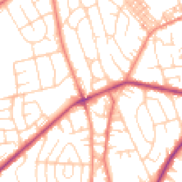
Daytime· 07:00 – 23:00
52.1dB

Night-time· 23:00 – 07:00
40.9dB