Glenelg, West Lane, Burn, Selby, YO8 8LR
About Glenelg
Glenelg is a detached house in Burn, Selby, Selby (YO8 8LR). It has a recorded floor area of 151 m² (around 1625 sq ft), construction records dating it to 1983-1990 and council tax band F. The latest certificate (October 2014) shows a D (score 67), on the cusp of jumping into the C band. The recommended improvements would push it to C (score 77). The latest certificate is from October 2014, so improvements made since then won't be reflected.
At 151 m² the property is well over the postcode median (112 m² across 16 EPCs), placing it in the larger end of the local stock. Last changed hands 11 years ago, in March 2015. Today's modelled estimate of £452,000 is 39.1% above the 2015 sale price.
Know exactly what you're buying at Glenelg
Before you offer, see what the listing won't tell you, the true value, the red flags and the full history.
Already flagged here
Launch offer · save £5
Valuation
against the asking price
Risks
planning & flood
Sold prices
similar homes nearby
Trends
the local market
Energy performance
Glenelg's carbon output runs well above what efficient homes in the postcode produce.
EPC Expired
This certificate is over 10 years old and is no longer valid.Expired 05 Oct 2024
EPC Rating
Planning history
Glenelg has no planning applications on record.
Notable planning nearby
4applications of note in the surrounding area
We flagged 1 thing worth checking at Glenelg
Independent checks surfaced things a buyer would want to understand before offering. The report explains each one in full, with the underlying data and what to ask.
- Larger development activity nearby
30-day money-back guarantee
Sales history & valuation
Glenelg valuation sits well clear of the typical sold price in this postcode.
£452,000
Modelled from EPC, postcode comparables.
£325,000
Recorded with HM Land Registry.
Sales timeline
6 March 2015Most recent
£325,000
Median price across the last 5 sales in YO8 8LR: £350,000 (2024–2021).
Nearby sales in YO8 8LR
Rosedene, West Lane, Burn, Selby, YO8 8LR
Sold Oct 2024
£260,0001 West Lane, Burn, Selby, YO8 8LR
Sold Jul 2023
£240,000Twyfords, West Lane, Burn, Selby, YO8 8LR
Sold Mar 2022
£350,000The Stables, West Lane, Burn, Selby, YO8 8LR
Sold Sept 2021
£630,000Gateforth Grange, West Lane, Burn, Selby, YO8 8LR
Sold Sept 2021
£760,000
Everything we know about Glenelg, in one report
What it's really worth, what could be wrong, and the planning, sales and area data in full.
What we flagged
- Larger development activity nearby

Versus other West Lane homes
Glenelg outperforms the street on years held by a wide margin.
Price per m²
£2,152
Street avg £3,028
Floor Area
151 m²
Street avg 134 m²
Habitable Rooms
7 rooms
Street avg 6 rooms
CO₂ Emissions
6.3 t/year
Street avg 6.6 t/year
Similar properties nearby
The neighbourhood at a glance
Daytime road noise here sits well below conversation level — a quiet pocket of the postcode.
Crime
3/mo
Steady year-on-year across the wider district.
Nearest stop
0.5 km
Park Lane — bus stop.
Closest school
2.3 km
Chapel Haddlesey Church of England Primary School. 2 schools nearby.
Go deeper on the local area
The full report breaks down crime, transport links, schools and air quality in depth.
Road noise across the postcode
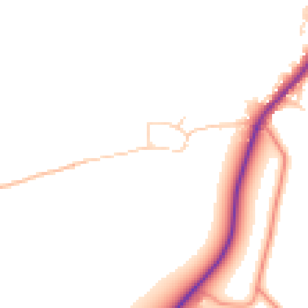
Daytime· 07:00 – 23:00
47.5dB

Night-time· 23:00 – 07:00
41.1dB