339 Warrington Road, Abram, Wigan, WN2 5RJ
About 339 Warrington Road
339 Warrington Road is a three-bedroom mid-terrace house in Abram, Wigan, Wigan (WN2 5RJ). It has a recorded floor area of 103 m² (around 1109 sq ft), construction records dating it to 1900-1929 and council tax band A. The latest certificate (March 2019) shows an F (score 36), near the bottom of the EPC scale. The recommended improvements would lift it to C (score 74), a 3-band jump. Other recorded features include a loft. It has already been extended once and our model flags further extension potential, a sign of buyer flexibility.
At 103 m² it's 27.2% larger than the typical home in the postcode (81 m² median across 35 EPCs). On energy efficiency it sits in the bottom 10% of properties in this postcode — significant headroom for improvement. Today's modelled estimate of £158,000 sits 70.8% above the 2019 sale of £92,500. Most recent transfer: July 2019 at £92,500.
What this property has
Inside
- Bedrooms3
- Bathrooms2
- Dining roomYes
- EnsuiteYes
- LoftYes
Outside
- ParkingOff road
Building
- Previously extendedYes
- Extension potentialPossible
Everything you need to know about 339 Warrington Road
The true value, the hidden risks and the full sale history, in one report.
Pick your report · every report is £14.99
One time fee only - money back guarantee

The data behind every report


Energy performance
339 Warrington Road sits at the bottom of the postcode for energy efficiency — meaningful headroom to improve.
EPC Rating
Get a survey for this property
Level 3 Building Survey
Because the property was built before 1919, we believe a Level 3 building survey should be considered.
From £820 · Includes VAT
Planning history
339 Warrington Road has no planning applications on record.
But the area is active
8 notable applications nearby — larger schemes and conversions that could reshape the street. The report maps them all.
Sales history & valuation
339 Warrington Road valuation sits well clear of the typical sold price in this postcode.
£158,000
Modelled from EPC, postcode comparables.
£92,500
Recorded with HM Land Registry.
Sales timeline
18 July 2019Most recent
£92,500
Median price across the last 5 sales in WN2 5RJ: £168,000 (2023–2020).
Nearby sales in WN2 5RJ
309 Warrington Road, Abram, Wigan, WN2 5RJ
Sold Jan 2023
£168,000351 Warrington Road, Abram, Wigan, WN2 5RJ
Sold Apr 2022
£82,000315 Warrington Road, Abram, Wigan, WN2 5RJ
Sold Dec 2020
£350,000321a, Warrington Road, Abram, Wigan, WN2 5RJ
Sold Nov 2020
£110,000355 Warrington Road, Abram, Wigan, WN2 5RJ
Sold Dec 2018
£82,000
Versus other Warrington Road homes
339 Warrington Road is notably below the street on epc rating.
Price per m²
£898
Street avg £887
Floor Area
103 m²
Street avg 91 m²
Habitable Rooms
5 rooms
Street avg 4 rooms
CO₂ Emissions
9.0 t/year
Street avg 4.7 t/year
Everything you need to know about 339 Warrington Road
The true value, the hidden risks and the full sale history, in one report.
Pick your report · every report is £14.99
One time fee only - money back guarantee
The data behind every report
Similar properties nearby
1 Croal Avenue, Platt Bridge
WN2 5EY
1 Byron Close, Abram
WN2 5PY
1 Ansford Avenue, Abram
WN2 5PQ
1 Crabtree Cottages, Lee Lane, Abram
WN2 5QS
1 Ashwood Avenue, Abram
WN2 5YE
1 Beech Grove, Abram
WN2 5YG
1 Coverdale Close, Platt Bridge
WN2 5EN
1 Brown Street, Bickershaw
WN2 5TT
The neighbourhood at a glance
Daytime road noise here sits well below conversation level — a quiet pocket of the postcode.
Nearest stop
0.1 km
Abram Council Offices — bus stop.
Closest school
0.7 km
St John's Church of England Primary School, Abram. 8 schools nearby.
Go deeper on the local area
A Local Area report breaks down crime, transport links, schools and air quality in depth.
Road noise across the postcode
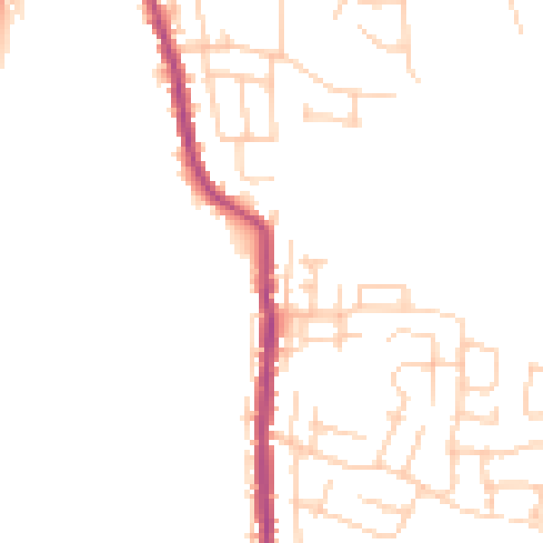
Daytime· 07:00 – 23:00
46.4dB

Night-time· 23:00 – 07:00
38.3dB