24 Kingsley Close, Milnthorpe, Wakefield, WF2 7EB
About 24 Kingsley Close
24 Kingsley Close is a four-bedroom semi-detached house in Milnthorpe, Wakefield, Wakefield (WF2 7EB). It has a recorded floor area of 112 m² (around 1206 sq ft), construction records dating it to 1950-1966 and council tax band C. The latest certificate (December 2012) shows an E (score 50), well below the UK norm with real room to improve. The recommended improvements would lift it to C (score 76), a 2-band jump. The latest certificate is from December 2012, so improvements made since then won't be reflected. Records show the property has been extended at some point in its history. The home occupies a cul-de-sac position.
2 planning records sit against the property, 2 approved, 0 refused. Past consents include an extension, meaningful when judging how the property has evolved. At 112 m² it's 17.9% larger than the typical home in the postcode (95 m² median across 9 EPCs). It lags the bulk of the postcode on energy efficiency (less efficient than 78% of similar EPCs). Across 2014–2020, sale prices on this property compounded at 4.9% per year. Today's modelled estimate of £343,000 is 31.9% above the 2020 sale price. On a £-per-square-foot basis, the last sale (£216/sq ft) was about 31.6% above the typical sold price in the postcode. Last sale on file: £259,950 in February 2020.
What this property has
Inside
- Bedrooms4
- Bathrooms2
- Utility roomYes
- FireplaceYes
Outside
- Private gardenRear
- Cul-de-sacYes
Building
- Heating systemGas
- Previously extendedYes
- RefurbishedYes
Everything you need to know about 24 Kingsley Close
The true value, the hidden risks and the full sale history, in one report.
Pick your report · every report is £14.99
One time fee only - money back guarantee

The data behind every report


Energy performance
24 Kingsley Close's carbon output runs well above what efficient homes in the postcode produce.
EPC Expired
This certificate is over 10 years old and is no longer valid.Expired 05 Dec 2022
EPC Rating
Get a survey for this property
Level 2 HomeBuyer Report
We've checked 10 risk factors against the available data for this property and believe a Level 2 HomeBuyer Report could be a suitable option for you.
From £595 · Includes VAT
Planning history
24 Kingsley Close has 2 separate extension applications on the council record.
2 applications on record at 24 Kingsley Close, Milnthorpe, Wakefield, WF2 7EB
- Feb 2022ExtensionFullOutcome in report
Extension: Single storey · Side of property
Erection of Single Storey Side Extension and Internal Alterations
- Documents
- 7 docs on file
- Reference
- 21/02472/FUL
- More recent applications — locked
- ExtensionMar 2023Decision
Unlock 24 Kingsley Close, Milnthorpe, Wakefield, WF2 7EB's full planning history
You're seeing the shape of it. The report has the substance.
- Every decision — granted, refused or withdrawn (2 on record)
- All 2 applications on this property in full
- The 14 documents, officer reports & conditions
- What the pattern means for extending or converting here
One time fee only - money back guarantee
Sales history & valuation
The latest sale landed in the post-pandemic price surge — useful context when reading the figure.
£343,000
Modelled from EPC, postcode comparables and a sale-price growth of 4.9% per year over 6 years.
£259,950
Growth on file: 4.9% per year over 6 years.
Sales timeline
11 February 2020Most recent
£259,950
+33.3%over 6 years31 January 2014
£195,000
Median price across the last 5 sales in WF2 7EB: £275,000 (2023–2016).
Nearby sales in WF2 7EB
7 Kingsley Close, Milnthorpe, Wakefield, WF2 7EB
Sold Aug 2023
£275,0009 Kingsley Close, Milnthorpe, Wakefield, WF2 7EB
Sold May 2023
£415,00015 Kingsley Close, Milnthorpe, Wakefield, WF2 7EB
Sold Aug 2022
£260,00016 Kingsley Close, Milnthorpe, Wakefield, WF2 7EB
Sold May 2016
£194,50012 Kingsley Close, Milnthorpe, Wakefield, WF2 7EB
Sold Dec 2015
£205,000
Versus other Kingsley Close homes
CO₂ Emissions for 24 Kingsley Close lags the street by a wide margin.
Price per m²
£2,321
Street avg £2,533
Floor Area
112 m²
Street avg 98 m²
Habitable Rooms
6 rooms
Street avg 5 rooms
CO₂ Emissions
6.9 t/year
Street avg 4.5 t/year
Everything you need to know about 24 Kingsley Close
The true value, the hidden risks and the full sale history, in one report.
Pick your report · every report is £14.99
One time fee only - money back guarantee
The data behind every report
Similar properties nearby
1 Cotham Drive
WF2 7FA
1 Castle Crescent
WF2 7HX
1 Field Gate Close
WF2 7FF
1 Apple Mews, Hendal Lane
WF2 7PB
1 Cubley Avenue
WF2 7HG
1 Almshouse Lane, Newmillerdam
WF2 7ST
1 Crab Lane, Newmillerdam
WF2 7SU
1 Castle View
WF2 7HZ
The neighbourhood at a glance
Reported crime in the wider district is trending notably upward year-on-year.
Crime
7/mo
Rising year-on-year across the wider district.
Nearest stop
0.1 km
Sandal Castle Med Centre — bus stop.
Closest school
0.2 km
Kettlethorpe High School. 12 schools nearby.
Go deeper on the local area
A Local Area report breaks down crime, transport links, schools and air quality in depth.
Road noise across the postcode
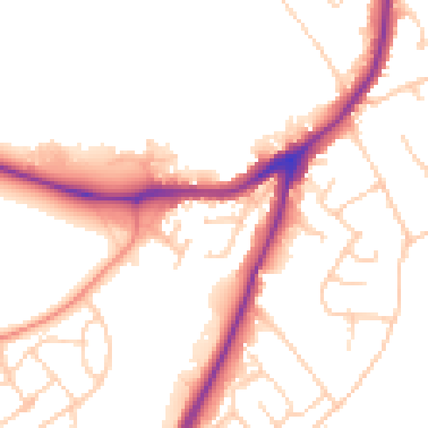
Daytime· 07:00 – 23:00
52.2dB

Night-time· 23:00 – 07:00
43.1dB