796 St Albans Road, Watford, WD25 9FH
About 796 St Albans Road
796 St Albans Road is a three-bedroom detached house in Watford (WD25 9FH). It has a recorded floor area of 134 m² (around 1442 sq ft), construction records dating it to 1930-1949 and council tax band E. The latest certificate (December 2021) shows a D (score 59), a step below the typical UK home. The recommended improvements would lift it to B (score 81), a 2-band jump.
At 134 m² the property is well over the postcode median (63 m² across 34 EPCs), placing it in the larger end of the local stock. It lags the bulk of the postcode on energy efficiency (less efficient than 79% of similar EPCs). On a £-per-square-foot basis, the last sale (£399/sq ft) was about 66.6% above the typical sold price in the postcode. Last sale on file: £575,000 in April 2022. That sale was during the post-pandemic price surge, when transactions cleared materially above pre-2020 trend. One historical planning record sits against the property in 2026.
What this property has
Inside
- Bedrooms3
- Bathrooms2
- Dining roomYes
- Utility roomYes
- CloakroomYes
- EnsuiteYes
Outside
- Private gardenYes
- GarageYes
Everything you need to know about 796 St Albans Road
The true value, the hidden risks and the full sale history, in one report.
30-day money-back guarantee

The data behind every report


Energy performance
796 St Albans Road's carbon output runs well above what efficient homes in the postcode produce.
EPC Rating
Planning history
- Feb 2026Garage ConversionFullIn report
Conversion of existing garage space in front into habitable space. Including removing garage door and insertion of window in front and window in side.
- Documents
- 8 docs on file
- Reference
- 25/01102/FULH
What's in 796 St Albans Road, Watford, WD25 9FH's planning history?
Refusals, disputes and full decisions on this property and nearby, in the report.
Sales history & valuation
Latest sale on 796 St Albans Road was the highest on Land Registry record across the postcode.
£620,000
Modelled from EPC, postcode comparables.
£575,000
Recorded with HM Land Registry.
Sales timeline
28 April 2022Most recent
£575,000
Median price across the last 5 sales in WD25 9FH: £280,000 (2025–2018).
Nearby sales in WD25 9FH
770a, St Albans Road, Watford, WD25 9FH
Sold Mar 2025
£398,000Flat 3, 760 St Albans Road, Watford, WD25 9FH
Sold Oct 2021
£280,000Flat 4, 760 St Albans Road, Watford, WD25 9FH
Sold Jul 2018
£277,000Summer Vale Court, Flat 1, 750 St Albans Road, Watford, WD25 9FH
Sold Nov 2017
£250,000Summer Vale Court, Flat 2, 750 St Albans Road, Watford, WD25 9FH
Sold Nov 2017
£250,000
Versus other St Albans Road homes
Years Held for 796 St Albans Road lags the street by a wide margin.
Price per m²
£4,291
Street avg £3,402
Floor Area
134 m²
Street avg 104 m²
Habitable Rooms
6 rooms
Street avg 5 rooms
CO₂ Emissions
6.3 t/year
Street avg 4.4 t/year
Everything you need to know about 796 St Albans Road
The true value, the hidden risks and the full sale history, in one report.
30-day money-back guarantee
The data behind every report
Similar properties nearby
1 Cuffley Avenue
WD25 9RB
1 Falcon Way
WD25 9AA
1 Felden Close
WD25 9QW
1 Bovingdon Crescent
WD25 9RA
1 Avalon Close
WD25 9TW
1 Bucknalls Close
WD25 9NB
1 Coates Way
WD25 9NR
1 Biddenham Court, First Avenue
WD25 9PT
The neighbourhood at a glance
Rail-style transport is unusually close for this postcode.
Crime
4/mo
Steady year-on-year across the wider district.
Nearest stop
0.1 km
Rochester Drive — bus stop.
Closest school
0.5 km
The Grove Academy. 22 schools nearby.
Go deeper on the local area
The full report breaks down crime, transport links, schools and air quality in depth.
Road noise across the postcode
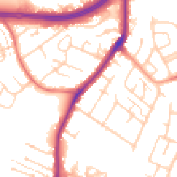
Daytime· 07:00 – 23:00
53.3dB

Night-time· 23:00 – 07:00
45.2dB