772a, St Albans Road, Watford, WD25 9FH
About 772a
772a is a two-bedroom semi-detached house in Watford (WD25 9FH). It has a recorded floor area of 57 m² (around 614 sq ft), construction records dating it to 1950-1966 and council tax band C. The latest certificate (January 2020) shows a C (score 74). The rating has held steady at C across 2 certificates since November 2008. Between certificates, wall efficiency went from Poor to Average and lighting went from Average to Very Good; while window efficiency dropped from Good to Average and hot-water efficiency dropped from Very Good to Good. At 57 m² this is the 14th smallest of 35 units on EPC record in the building, where floor areas span 38–134 m². The building's EPC ratings span F to B across 35 units on file. Other recorded features include outbuildings and a loft. Our model identifies extension potential, subject to local planning policy.
Untraded for 18 years, with the last transfer in December 2008. That sale landed at the peak of the pre-credit-crunch market, which is a useful reference point when interpreting the price. Across 1997–2008, sale prices on this property compounded at 11.3% per year. Today's modelled estimate of £259,000 is 48% above the 2008 sale price. On a £-per-square-foot basis, the last sale (£285/sq ft) was about 19.2% above the typical sold price in the postcode.
What this property has
Inside
- Bedrooms2
- Bathrooms1
- EnsuiteYes
- LoftYes
Outside
- Private gardenYes
- GarageYes
- OutbuildingsYes
Building
- Heating systemGas
- Extension potentialPossible
Everything you need to know about 772a
The true value, the hidden risks and the full sale history, in one report.
30-day money-back guarantee

The data behind every report


Energy performance
EPC Rating
Property Improvements
Changes detected from historical EPC data
Hot water efficiency decreased
Cavity wall insulation installed
Roof insulation improved
More low energy lighting installed
Planning history
772a has no planning applications on record.
The full report still covers planning activity across the surrounding area.
Sales history & valuation
Sale price has grown by over 3x since 1997.
£259,000
Modelled from EPC, postcode comparables and a sale-price growth of 11.3% per year over 12 years.
£175,000
Growth on file: 11.3% per year over 12 years.
Sales timeline
1 December 2008Most recent
£175,000
+7.0%over 3 years20 January 2005
£163,500
+227.3%over 7 years26 March 1997
£49,950
Median price across the last 5 sales in WD25 9FH: £350,000 (2025–2018).
Nearby sales in WD25 9FH
770a, St Albans Road, Watford, WD25 9FH
Sold Mar 2025
£398,000796 St Albans Road, Watford, WD25 9FH
Sold Apr 2022
£575,000Flat 3, 760 St Albans Road, Watford, WD25 9FH
Sold Oct 2021
£280,000Flat 4, 760 St Albans Road, Watford, WD25 9FH
Sold Jul 2018
£277,000Summer Vale Court, Flat 1, 750 St Albans Road, Watford, WD25 9FH
Sold Nov 2017
£250,000
Versus other St Albans Road homes
Years Held for 772a runs comfortably ahead of the street norm.
Price per m²
£3,070
Street avg £3,717
Floor Area
57 m²
Street avg 58 m²
Habitable Rooms
3 rooms
Street avg 3 rooms
CO₂ Emissions
1.8 t/year
Street avg 1.7 t/year
Everything you need to know about 772a
The true value, the hidden risks and the full sale history, in one report.
30-day money-back guarantee
The data behind every report
Similar properties nearby
1 Da Vinci Court, Cezanne Road
WD25 9BF
1 Biddenham Court, First Avenue
WD25 9PT
1 Beken Court, First Avenue
WD25 9PG
1 Edridge Court, Ley Farm Close
WD25 9BN
1 Bovingdon Crescent
WD25 9RA
1 Felden Close
WD25 9QW
1 Falcon Way
WD25 9AA
1 Cuffley Avenue
WD25 9RB
The neighbourhood at a glance
Rail-style transport is unusually close for this postcode.
Crime
4/mo
Steady year-on-year across the wider district.
Nearest stop
0.1 km
Rochester Drive — bus stop.
Closest school
0.5 km
The Grove Academy. 22 schools nearby.
Go deeper on the local area
The full report breaks down crime, transport links, schools and air quality in depth.
Road noise across the postcode
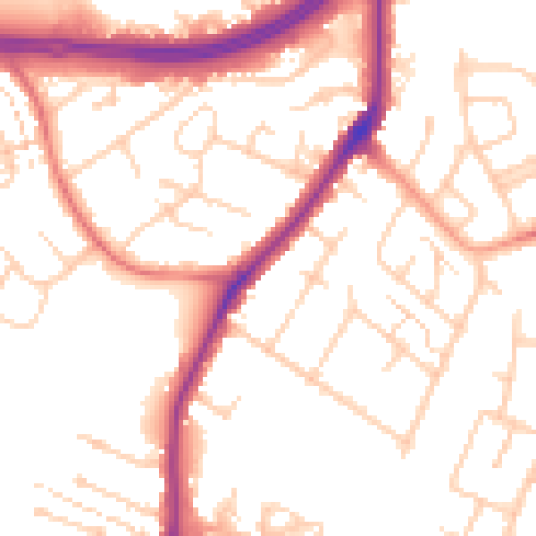
Daytime· 07:00 – 23:00
53.3dB

Night-time· 23:00 – 07:00
45.2dB