18 Medway Close, Watford, WD25 0DP
About 18 Medway Close
18 Medway Close is a detached house in Watford (WD25 0DP). It has a recorded floor area of 151 m² (around 1625 sq ft), construction records dating it to 1950-1966 and council tax band E. The latest certificate (June 2013) shows a D (score 68), on the cusp of jumping into the C band. The recommended improvements would push it to C (score 80). The latest certificate is from June 2013, so improvements made since then won't be reflected.
It hasn't traded since March 1998, a hold of 28 years that's notably long for the area. Only one transfer is on record with HM Land Registry, suggesting it has stayed in the same hands for a long time. At 151 m² the property is well over the postcode median (63 m² across 7 EPCs), placing it in the larger end of the local stock. Today's modelled estimate of £663,000 sits 357.2% above the 1998 sale of £145,000. On a £-per-square-foot basis, the last sale (£89/sq ft) was about 76.5% below the postcode norm.
Everything you need to know about 18 Medway Close
The true value, the hidden risks and the full sale history, in one report.
30-day money-back guarantee

The data behind every report


Energy performance
18 Medway Close's EPC is over a decade old — improvements since won't be reflected.
EPC Expired
This certificate is over 10 years old and is no longer valid.Expired 30 Jun 2023
EPC Rating
Planning history
18 Medway Close has no planning applications on record.
Notable planning nearby
2applications of note in the surrounding area
Sales history & valuation
18 Medway Close's modelled value sits at over four times its earliest registered sale price (1998).
£663,000
Modelled from EPC, postcode comparables.
£145,000
Recorded with HM Land Registry.
Sales timeline
6 March 1998Most recent
£145,000
Median price across the last 5 sales in WD25 0DP: £465,000 (2024–2015).
Versus other Medway Close homes
On price per m², 18 Medway Close runs well behind the street norm.
Price per m²
£960
Street avg £5,734
Floor Area
151 m²
Street avg 81 m²
Habitable Rooms
6 rooms
Street avg 4 rooms
CO₂ Emissions
4.9 t/year
Street avg 3.2 t/year
Everything you need to know about 18 Medway Close
The true value, the hidden risks and the full sale history, in one report.
30-day money-back guarantee
The data behind every report
Similar properties nearby
The neighbourhood at a glance
Rail-style transport is unusually close for this postcode.
Crime
4/mo
Steady year-on-year across the wider district.
Nearest stop
0.2 km
St Albans Road — bus stop.
Closest school
0.7 km
The Grove Academy. 24 schools nearby.
Go deeper on the local area
The full report breaks down crime, transport links, schools and air quality in depth.
Road noise across the postcode
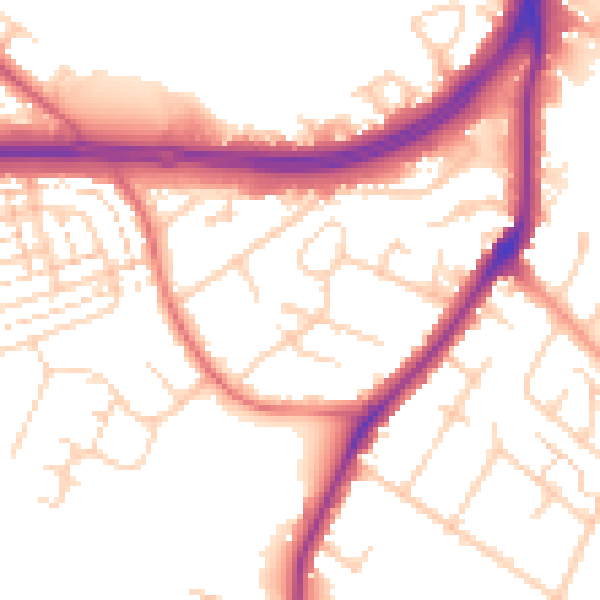
Daytime· 07:00 – 23:00
53.7dB

Night-time· 23:00 – 07:00
45.6dB