42 Severn Way, Watford, WD25 0DL
About 42 Severn Way
42 Severn Way is a four-bedroom detached house in Watford (WD25 0DL). It has a recorded floor area of 127 m² (around 1367 sq ft), construction records dating it to 1983-1990 and council tax band F. The latest certificate (January 2021) shows an E (score 52), well below the UK norm with real room to improve. The recommended improvements would lift it to C (score 79), a 2-band jump.
One planning application is currently pending a decision in 2021. Today's modelled estimate of £895,000 is 14.7% above the 2021 sale price. On a £-per-square-foot basis, the last sale (£571/sq ft) was about 143.4% above the typical sold price in the postcode. Sold March 2021 for £780,000. That sale was during the post-pandemic price surge, when transactions cleared materially above pre-2020 trend.
What this property has
Inside
- Bedrooms4
- Bathrooms2
- Dining roomYes
- Utility roomYes
- EnsuiteYes
Outside
- Private gardenRear
- GarageDouble
Everything you need to know about 42 Severn Way
The true value, the hidden risks and the full sale history, in one report.
30-day money-back guarantee

The data behind every report


Energy performance
42 Severn Way's carbon output runs well above what efficient homes in the postcode produce.
EPC Rating
Planning history
- Jun 2021Garage ConversionFullIn report
Extension: Rear of property
Erection of ground and first floor rear extensions and garage conversion
Extension- Documents
- 4 docs on file
- Reference
- 21/01000/FULH
What's in 42 Severn Way, Watford, WD25 0DL's planning history?
Refusals, disputes and full decisions on this property and nearby, in the report.
Sales history & valuation
Latest sale on 42 Severn Way was the highest on Land Registry record across the postcode.
£895,000
Modelled from EPC, postcode comparables.
£780,000
Recorded with HM Land Registry.
Sales timeline
19 March 2021Most recent
£780,000
Median price across the last 5 sales in WD25 0DL: £212,000 (2010–2002).
Everything you need to know about 42 Severn Way
The true value, the hidden risks and the full sale history, in one report.
30-day money-back guarantee
The data behind every report
Similar properties nearby
1 Ash Close
WD25 0RU
1 Elderberry Way
WD25 0RW
1 Cypress Walk
WD25 0RY
1 Coopers Mews
WD25 0JD
1 Ennerdale Drive
WD25 0NG
1 All Saints Crescent
WD25 0LU
1 Coles Farm, Chequers Lane
WD25 0GL
1 Bramble Close
WD25 0HF
The neighbourhood at a glance
Rail-style transport is unusually close for this postcode.
Crime
4/mo
Steady year-on-year across the wider district.
Nearest stop
0.2 km
St Albans Road — bus stop.
Closest school
0.7 km
The Grove Academy. 24 schools nearby.
Go deeper on the local area
The full report breaks down crime, transport links, schools and air quality in depth.
Road noise across the postcode
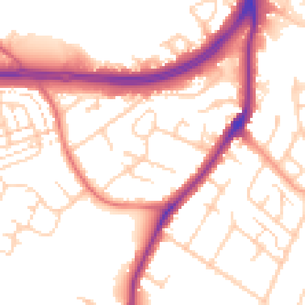
Daytime· 07:00 – 23:00
53.7dB

Night-time· 23:00 – 07:00
45.6dB