34 Severn Way, Watford, WD25 0DL
About 34 Severn Way
34 Severn Way is a three-bedroom mid-terrace house in Watford (WD25 0DL). It has a recorded floor area of 83 m² (around 889 sq ft), construction records dating it to 1950-1966 and council tax band D. The latest certificate (March 2010) shows a D (score 67), on the cusp of jumping into the C band. The recommended improvements would push it to C (score 76). The latest certificate is from March 2010, so improvements made since then won't be reflected.
Untraded for 16 years, with the last transfer in July 2010. Across the public record there are 4 sales, relatively high churn for a single property. Across 1997–2010, sale prices on this property compounded at 8.6% per year. Today's modelled estimate of £438,000 sits 77.3% above the 2010 sale of £247,000.
What this property has
Inside
- Bedrooms3
- Dining roomYes
- CloakroomYes
Outside
- Private gardenRear
Building
- Heating systemGas
- RefurbishedYes
Everything you need to know about 34 Severn Way
The true value, the hidden risks and the full sale history, in one report.
30-day money-back guarantee

The data behind every report


Energy performance
34 Severn Way's EPC is over a decade old — improvements since won't be reflected.
EPC Expired
This certificate is over 10 years old and is no longer valid.Expired 03 Mar 2020
EPC Rating
Planning history
34 Severn Way has no planning applications on record.
Notable planning nearby
2applications of note in the surrounding area
Sales history & valuation
Sale price has grown by over 3x since 1997.
£438,000
Modelled from EPC, postcode comparables and a sale-price growth of 8.6% per year over 13 years.
£247,000
Growth on file: 8.6% per year over 13 years.
Sales timeline
7 July 2010Most recent
£247,000
+16.5%over 4 years18 November 2005
£212,000
+3.4%over 3 years18 November 2002
£205,000
+151.5%over 5 years31 January 1997
£81,500
Median price across the last 5 sales in WD25 0DL: £165,000 (2021–1997).
Everything you need to know about 34 Severn Way
The true value, the hidden risks and the full sale history, in one report.
30-day money-back guarantee
The data behind every report
Similar properties nearby
1 Derwent Close
WD25 0NQ
1 Austin Villas, Woodside Road
WD25 0GD
1 Bramble Close
WD25 0HF
1 All Saints Crescent
WD25 0LU
1 Cedar Wood Drive
WD25 0RR
1 Alder Walk
WD25 0RT
1 Aspen Park Drive
WD25 0RS
1 Coopers Mews
WD25 0JD
The neighbourhood at a glance
Rail-style transport is unusually close for this postcode.
Crime
4/mo
Steady year-on-year across the wider district.
Nearest stop
0.2 km
St Albans Road — bus stop.
Closest school
0.7 km
The Grove Academy. 24 schools nearby.
Go deeper on the local area
The full report breaks down crime, transport links, schools and air quality in depth.
Road noise across the postcode
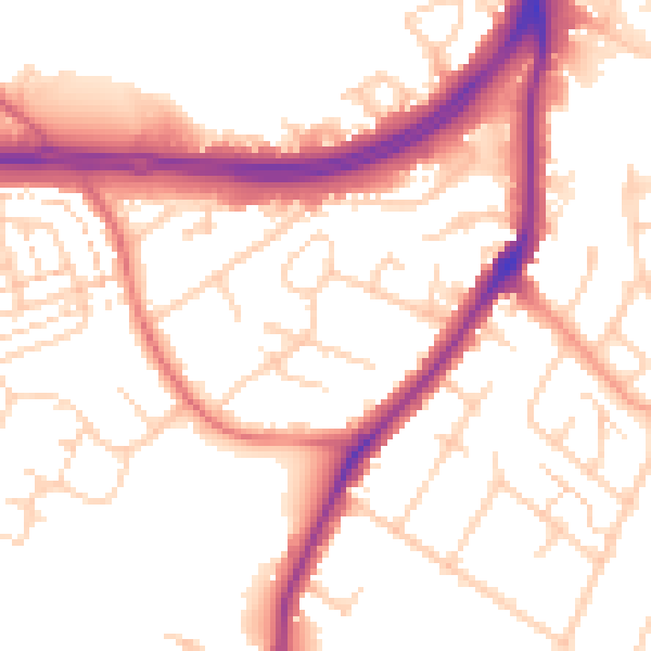
Daytime· 07:00 – 23:00
53.7dB

Night-time· 23:00 – 07:00
45.6dB