396a, St Albans Road, Watford, WD24 6PJ
About 396a
396a is a one-bedroom property in Watford (WD24 6PJ). It has a recorded floor area of 62 m² (around 667 sq ft), construction records dating it to 1930-1949 and council tax band B. The latest certificate (November 2025) shows a C (score 70). This certificate was lodged in the last six months, so the rating reflects current condition.
It hasn't traded since May 2001, a hold of 25 years that's notably long for the area. Only one transfer is on record with HM Land Registry, suggesting it has stayed in the same hands for a long time. Today's modelled estimate of £264,000 sits 223.9% above the 2001 sale of £81,500. On a £-per-square-foot basis, the last sale (£122/sq ft) was about 40.8% below the postcode norm. Its energy rating outperforms most of the postcode (better than 74% of similar EPCs). 1 bedrooms is on the smaller side for this postcode, where 3 is the typical count.
What this property has
Inside
- Bedrooms1
- Bathrooms1
- CloakroomYes
- FireplaceYes
Outside
- Private gardenRear
- DrivewayYes
Everything you need to know about 396a
The true value, the hidden risks and the full sale history, in one report.
30-day money-back guarantee

The data behind every report


Energy performance
The EPC has just been inspected, so the rating reflects current condition.
EPC Rating
Planning history
396a has no planning applications on record.
Notable planning nearby
4applications of note in the surrounding area
We flagged 1 thing worth checking at 396a
Independent checks surfaced things a buyer would want to understand before offering. The report explains each one in full, with the underlying data and what to ask.
- Signs of HMO activity in the area
30-day money-back guarantee
Sales history & valuation
396a's estimated value is more than triple its earliest registered sale price (2001).
£264,000
Modelled from EPC, postcode comparables.
£81,500
Recorded with HM Land Registry.
Sales timeline
10 May 2001Most recent
£81,500
Median price across the last 5 sales in WD24 6PJ: £412,500 (2025–2024).
Nearby sales in WD24 6PJ
Versus other St Albans Road homes
On floor area, 396a stands well clear of the street.
Price per m²
£1,315
Street avg £3,367
Floor Area
62 m²
Street avg 44 m²
Habitable Rooms
4 rooms
Street avg 2 rooms
CO₂ Emissions
2.3 t/year
Street avg 2.4 t/year
Everything you need to know about 396a
The true value, the hidden risks and the full sale history, in one report.
30-day money-back guarantee
The data behind every report
Similar properties nearby
The neighbourhood at a glance
Rail-style transport is unusually close for this postcode.
Crime
4/mo
Rising year-on-year across the wider district.
Nearest stop
0.1 km
Bushey Mill Lane — bus stop.
Closest school
0.3 km
Parkgate Junior School. 31 schools nearby.
Go deeper on the local area
The full report breaks down crime, transport links, schools and air quality in depth.
Road noise across the postcode
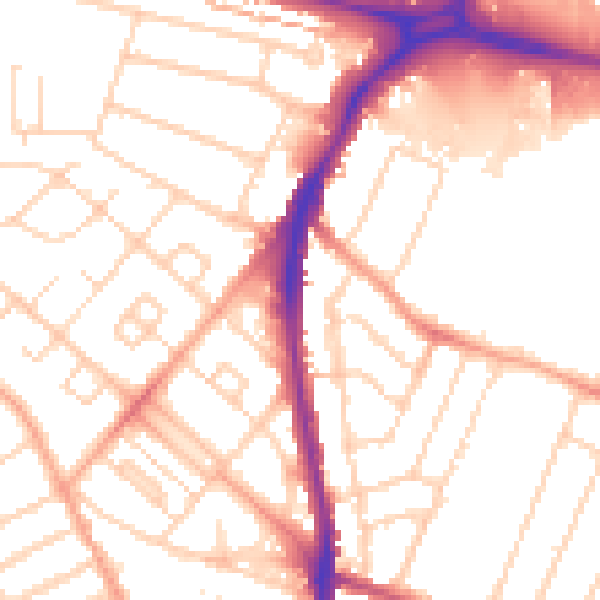
Daytime· 07:00 – 23:00
52.8dB

Night-time· 23:00 – 07:00
42.2dB