426 St Albans Road, Watford, WD24 6PJ
About 426 St Albans Road
426 St Albans Road is a semi-detached house in Watford (WD24 6PJ). It has a recorded floor area of 84 m² (around 904 sq ft), construction records dating it to 1900-1929 and council tax band D. The latest certificate (July 2016) shows a D (score 65), on the cusp of jumping into the C band. The recommended improvements would lift it to B (score 87), a 2-band jump.
At 84 m² the property is well over the postcode median (62 m² across 39 EPCs), placing it in the larger end of the local stock. Across 1999–2024, sale prices on this property compounded at 6.8% per year. On a £-per-square-foot basis, the last sale (£503/sq ft) was about 144.1% above the typical sold price in the postcode. Last sale on file: £455,000 in July 2024.
Everything you need to know about 426 St Albans Road
The true value, the hidden risks and the full sale history, in one report.
30-day money-back guarantee

The data behind every report


Energy performance
Recommended upgrades on file would lift this property by multiple EPC bands.
EPC Rating
Planning history
426 St Albans Road has no planning applications on record.
Notable planning nearby
4applications of note in the surrounding area
We flagged 1 thing worth checking at 426 St Albans Road
Independent checks surfaced things a buyer would want to understand before offering. The report explains each one in full, with the underlying data and what to ask.
- Signs of HMO activity in the area
30-day money-back guarantee
Sales history & valuation
Latest sale on 426 St Albans Road was the highest on Land Registry record across the postcode.
£483,000
Modelled from EPC, postcode comparables and a sale-price growth of 6.8% per year over 25 years.
£455,000
Growth on file: 6.8% per year over 25 years.
Sales timeline
21 July 2024Most recent
£455,000
+82.0%over 8 years27 November 2015
£250,000
-10.7%over 11 years5 September 2004
£280,000
+133.3%over 4 years13 August 2000
£120,000
+37.9%over 1 year21 July 1999
£87,000
Median price across the last 5 sales in WD24 6PJ: £200,000 (2025–2023).
Nearby sales in WD24 6PJ
Versus other St Albans Road homes
Price per m² for 426 St Albans Road runs comfortably ahead of the street norm.
Price per m²
£5,417
Street avg £3,310
Floor Area
84 m²
Street avg 98 m²
Habitable Rooms
5 rooms
Street avg 5 rooms
CO₂ Emissions
3.6 t/year
Street avg 5.0 t/year
Everything you need to know about 426 St Albans Road
The true value, the hidden risks and the full sale history, in one report.
30-day money-back guarantee
The data behind every report
Similar properties nearby
The neighbourhood at a glance
Rail-style transport is unusually close for this postcode.
Crime
4/mo
Rising year-on-year across the wider district.
Nearest stop
0.1 km
Bushey Mill Lane — bus stop.
Closest school
0.3 km
Parkgate Junior School. 31 schools nearby.
Go deeper on the local area
The full report breaks down crime, transport links, schools and air quality in depth.
Road noise across the postcode
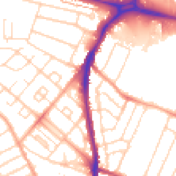
Daytime· 07:00 – 23:00
52.8dB

Night-time· 23:00 – 07:00
42.2dB