430 St Albans Road, Watford, WD24 6PJ
About 430 St Albans Road
430 St Albans Road is a semi-detached house in Watford (WD24 6PJ). It has a recorded floor area of 88 m² (around 947 sq ft), construction records dating it to 1930-1949 and council tax band D. The latest certificate (April 2021) shows an E (score 46), well below the UK norm with real room to improve. When first surveyed in May 2010 the rating was F, the property has climbed 1 band since. Between certificates, roof efficiency went from Very Poor to Average, window efficiency went from Very Poor to Good and lighting went from Average to Good. The recommended improvements would lift it to B (score 86), a 3-band jump.
At 88 m² the property is well over the postcode median (62 m² across 39 EPCs), placing it in the larger end of the local stock. It lags the bulk of the postcode on energy efficiency (less efficient than 82% of similar EPCs). Across 2004–2021, sale prices on this property compounded at 5.1% per year. Today's modelled estimate of £453,000 is 10.5% above the 2021 sale price. On a £-per-square-foot basis, the last sale (£433/sq ft) was about 109.9% above the typical sold price in the postcode. One planning record on file: an extension refused in 2022. Last sale on file: £410,000 in September 2021. That sale was during the post-pandemic price surge, when transactions cleared materially above pre-2020 trend.
Everything you need to know about 430 St Albans Road
The true value, the hidden risks and the full sale history, in one report.
30-day money-back guarantee

The data behind every report


Energy performance
430 St Albans Road's carbon output runs well above what efficient homes in the postcode produce.
EPC Rating
Property Improvements
Changes detected from historical EPC data
Hot water efficiency decreased
Single glazing replaced with double or better glazing
Roof insulation improved
More low energy lighting installed
Hot water efficiency improved
Window efficiency improved
Roof insulation improved
Planning history
A subdivision application was refused at 430 St Albans Road in 2022.
- Apr 2022SubdivisionFullIn report
Extension: Single storey · Rear of property
Erection of a first floor rear extension and conversion of existing dwelling to 2 no. 1 bedroom flats
Extension- Documents
- 11 docs on file
- Reference
- 22/00400/FUL
We flagged 2 things worth checking at 430 St Albans Road
Independent checks surfaced things a buyer would want to understand before offering. The report explains each one in full, with the underlying data and what to ask.
- Signs of HMO activity in the area
- A planning decision worth checking
30-day money-back guarantee
Sales history & valuation
Sale price has at least doubled since 2004.
£453,000
Modelled from EPC, postcode comparables and a sale-price growth of 5.1% per year over 18 years.
£410,000
Growth on file: 5.1% per year over 18 years.
Sales timeline
28 September 2021Most recent
£410,000
+141.2%over 17 years25 February 2004
£170,000
Median price across the last 5 sales in WD24 6PJ: £412,500 (2025–2024).
Nearby sales in WD24 6PJ
Versus other St Albans Road homes
430 St Albans Road is notably below the street on epc rating.
Price per m²
£4,659
Street avg £3,369
Floor Area
88 m²
Street avg 97 m²
Habitable Rooms
6 rooms
Street avg 5 rooms
CO₂ Emissions
6.1 t/year
Street avg 4.8 t/year
Everything you need to know about 430 St Albans Road
The true value, the hidden risks and the full sale history, in one report.
30-day money-back guarantee
The data behind every report
Similar properties nearby
The neighbourhood at a glance
Rail-style transport is unusually close for this postcode.
Crime
4/mo
Rising year-on-year across the wider district.
Nearest stop
0.1 km
Bushey Mill Lane — bus stop.
Closest school
0.3 km
Parkgate Junior School. 31 schools nearby.
Go deeper on the local area
The full report breaks down crime, transport links, schools and air quality in depth.
Road noise across the postcode
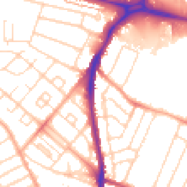
Daytime· 07:00 – 23:00
52.8dB

Night-time· 23:00 – 07:00
42.2dB