77a, Eastbury Road, Watford, WD19 4JN
About 77a
77a is a three-bedroom semi-detached house in Watford (WD19 4JN). It has a recorded floor area of 97 m² (around 1049 sq ft), construction records dating it to 1930-1949 and council tax band E. The latest certificate (October 2008) shows a G (score 7), near the bottom of the EPC scale. Main heating runs on electricity. The latest certificate is from October 2008, so improvements made since then won't be reflected. Our model identifies extension potential, subject to local planning policy. The home occupies a corner plot.
It hasn't traded since December 2008, a hold of 17 years that's notably long for the area. That sale landed at the peak of the pre-credit-crunch market, which is a useful reference point when interpreting the price. On energy efficiency it sits in the bottom 10% of properties in this postcode — significant headroom for improvement. Today's modelled estimate of £507,000 sits 141.4% above the 2008 sale of £210,000. On a £-per-square-foot basis, the last sale (£200/sq ft) was about 39% below the postcode norm. 4 planning records sit against the property, 0 approved, 3 refused.
What this property has
Inside
- Bedrooms3
Outside
- Corner plotYes
Building
- RefurbishedYes
- Extension potentialPossible
Everything you need to know about 77a
The true value, the hidden risks and the full sale history, in one report.
30-day money-back guarantee

The data behind every report


Energy performance
77a sits at the bottom of the postcode for energy efficiency — meaningful headroom to improve.
EPC Expired
This certificate is over 10 years old and is no longer valid.Expired 23 Oct 2018
EPC Rating
Planning history
Council records show a subdivision application — the property's legal arrangement has been altered.
- Jul 2017ExtensionFullIn report
Extension: Two storey
Erection of two storey extensions to 77 and 77a Eastbury Road and conversion to 2 x 3 bedroom and 2 x 2 bedroom flats. Erection of detached building comprising 2 x 2 bedroom flats. New parking provision of 6 spaces plus associated garden areas and landscaping.
- Documents
- 30 docs on file
- Reference
- 17/00478/FUL
- Apr 2010SubdivisionFullIn report
Extension: Two storey · Side and rear of property
Erection of a two storey side extension and single storey rear extension and alterations and conversion of existing dwelling to form 4no. one bedroomed flats with off street parking
Extension- Documents
- 69 docs on file
- Reference
- 10/00046/FUL
We flagged 1 thing worth checking at 77a
Independent checks surfaced things a buyer would want to understand before offering. The report explains each one in full, with the underlying data and what to ask.
- Larger development activity nearby
30-day money-back guarantee
Sales history & valuation
The latest sale landed at the peak of the pre-credit-crunch market — a high-water reference point.
£507,000
Modelled from EPC, postcode comparables.
£210,000
Recorded with HM Land Registry.
Sales timeline
22 December 2008Most recent
£210,000
Median price across the last 5 sales in WD19 4JN: £715,000 (2025–2019).
Nearby sales in WD19 4JN
Versus other Eastbury Road homes
On epc rating, 77a runs well behind the street norm.
Price per m²
£2,154
Street avg £4,368
Floor Area
97 m²
Street avg 142 m²
Habitable Rooms
5 rooms
Street avg 7 rooms
CO₂ Emissions
8.4 t/year
Street avg 4.1 t/year
Everything you need to know about 77a
The true value, the hidden risks and the full sale history, in one report.
30-day money-back guarantee
The data behind every report
Similar properties nearby
1 Blackwell Drive
WD19 4HP
1 Brookside Road
WD19 4BW
1 Brookmill Close
WD19 4BB
1 Cedar Road
WD19 4QP
1 Brookdene Avenue
WD19 4LG
1 Caroline Place, Capel Road
WD19 4AF
1 Carlton Court, Eastbury Road
WD19 4QA
1 Elm Avenue
WD19 4BD
The neighbourhood at a glance
Rail-style transport is unusually close for this postcode.
Crime
4/mo
Steady year-on-year across the wider district.
Nearest stop
0.0 km
Long Croft — bus stop.
Closest school
0.6 km
Bromet Primary School. 33 schools nearby.
Go deeper on the local area
The full report breaks down crime, transport links, schools and air quality in depth.
Road noise across the postcode
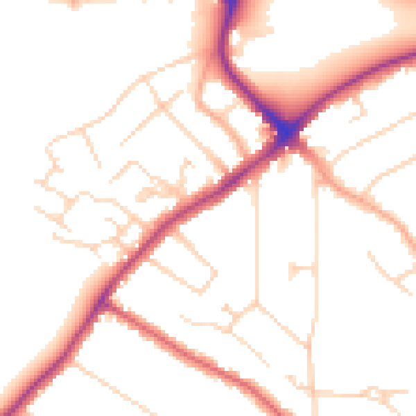
Daytime· 07:00 – 23:00
50.1dB

Night-time· 23:00 – 07:00
41.2dB