1 Elm Avenue, Watford, WD19 4BD
About 1 Elm Avenue
1 Elm Avenue is a four-bedroom detached house in Watford (WD19 4BD). It has a recorded floor area of 137 m² (around 1475 sq ft), construction records dating it to 1930-1949 and council tax band F. The latest certificate (January 2025) shows an E (score 47), well below the UK norm with real room to improve. Earlier certificates rated it D (October 2009); the latest reading is one band lower. Between certificates, wall efficiency dropped from Good to Poor and roof efficiency dropped from Average to Poor. The recommended improvements would lift it to C (score 79), a 2-band jump.
At 137 m² the property is well over the postcode median (105 m² across 6 EPCs), placing it in the larger end of the local stock. It changed hands recently, sold August 2025 for £800,000. Across 1999–2025, sale prices on this property compounded at 5.6% per year.
What this property has
Inside
- Bedrooms4
- Bathrooms2
- Dining roomYes
- EnsuiteYes
Outside
- Private gardenRear
- ParkingOff street
Everything you need to know about 1 Elm Avenue
The true value, the hidden risks and the full sale history, in one report.
30-day money-back guarantee

The data behind every report


Energy performance
1 Elm Avenue's carbon output runs well above what efficient homes in the postcode produce.
EPC Rating
Planning history
1 Elm Avenue has no planning applications on record.
Notable planning nearby
4applications of note in the surrounding area
We flagged 1 thing worth checking at 1 Elm Avenue
Independent checks surfaced things a buyer would want to understand before offering. The report explains each one in full, with the underlying data and what to ask.
- Larger development activity nearby
30-day money-back guarantee
Sales history & valuation
Latest sale on 1 Elm Avenue was the highest on Land Registry record across the postcode.
£802,000
Modelled from EPC, postcode comparables and a sale-price growth of 5.6% per year over 27 years.
£800,000
Growth on file: 5.6% per year over 27 years.
Sales timeline
25 August 2025Most recent
£800,000
+327.8%over 26 years13 January 1999
£187,000
Median price across the last 5 sales in WD19 4BD: £660,000 (2024–2016).
Versus other Elm Avenue homes
1 Elm Avenue is notably below the street on years held.
Price per m²
£5,839
Street avg £5,895
Floor Area
137 m²
Street avg 104 m²
Habitable Rooms
7 rooms
Street avg 5 rooms
CO₂ Emissions
8.5 t/year
Street avg 5.6 t/year
Everything you need to know about 1 Elm Avenue
The true value, the hidden risks and the full sale history, in one report.
30-day money-back guarantee
The data behind every report
Similar properties nearby
1 Eley Place
WD19 4FQ
1 Brookdene Avenue
WD19 4LG
1 Cedar Road
WD19 4QP
1 Brookmill Close
WD19 4BB
1 Brookside Road
WD19 4BW
1 Blackwell Drive
WD19 4HP
1 Caroline Place, Capel Road
WD19 4AF
1 Carlton Court, Eastbury Road
WD19 4QA
The neighbourhood at a glance
Rail-style transport is unusually close for this postcode.
Crime
4/mo
Steady year-on-year across the wider district.
Nearest stop
0.2 km
Sherwoods Road — bus stop.
Closest school
0.7 km
Bromet Primary School. 31 schools nearby.
Go deeper on the local area
The full report breaks down crime, transport links, schools and air quality in depth.
Road noise across the postcode
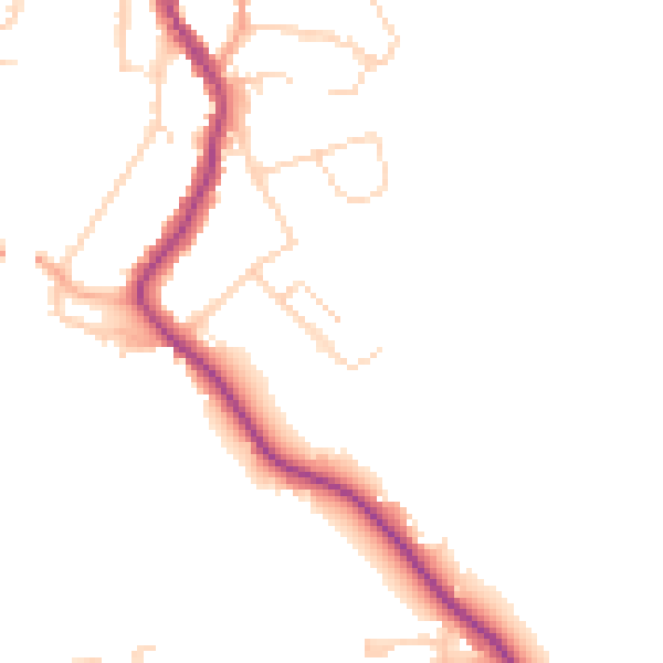
Daytime· 07:00 – 23:00
46.3dB

Night-time· 23:00 – 07:00
38.8dB