69 Eastbury Road, Watford, WD19 4JN
About 69 Eastbury Road
69 Eastbury Road is a three-bedroom semi-detached house in Watford (WD19 4JN). It has a recorded floor area of 88 m² (around 950 sq ft), construction records dating it to 1930-1949 and council tax band E. The latest certificate (September 2011) shows a D (score 66), on the cusp of jumping into the C band. The recommended improvements would push it to C (score 73). The latest certificate is from September 2011, so improvements made since then won't be reflected.
Today's modelled estimate of £559,000 sits 110.9% above the 2012 sale of £265,000. On a £-per-square-foot basis, the last sale (£279/sq ft) was about 15% below the postcode norm. 14 years since the last transfer (February 2012). At 88 m² it's 17.5% smaller than the typical home in the postcode (107 m² median across 22 EPCs).
What this property has
Inside
- Bedrooms3
- Dining roomYes
- Utility roomYes
Outside
- Private gardenRear
- GarageYes
Building
- RefurbishedYes
Everything you need to know about 69 Eastbury Road
The true value, the hidden risks and the full sale history, in one report.
30-day money-back guarantee

The data behind every report


Energy performance
69 Eastbury Road's EPC is over a decade old — improvements since won't be reflected.
EPC Expired
This certificate is over 10 years old and is no longer valid.Expired 06 Sept 2021
EPC Rating
Planning history
69 Eastbury Road has no planning applications on record.
Notable planning nearby
4applications of note in the surrounding area
We flagged 1 thing worth checking at 69 Eastbury Road
Independent checks surfaced things a buyer would want to understand before offering. The report explains each one in full, with the underlying data and what to ask.
- Larger development activity nearby
30-day money-back guarantee
Sales history & valuation
£559,000
Modelled from EPC, postcode comparables.
£265,000
Recorded with HM Land Registry.
Sales timeline
24 February 2012Most recent
£265,000
Median price across the last 5 sales in WD19 4JN: £715,000 (2025–2019).
Nearby sales in WD19 4JN
Versus other Eastbury Road homes
Floor Area for 69 Eastbury Road lags the street by a wide margin.
Price per m²
£3,002
Street avg £4,321
Floor Area
88 m²
Street avg 142 m²
Habitable Rooms
5 rooms
Street avg 7 rooms
CO₂ Emissions
3.6 t/year
Street avg 4.4 t/year
Everything you need to know about 69 Eastbury Road
The true value, the hidden risks and the full sale history, in one report.
30-day money-back guarantee
The data behind every report
Similar properties nearby
1 Brookmill Close
WD19 4BB
1 Brookside Road
WD19 4BW
1 Blackwell Drive
WD19 4HP
1 Cedar Road
WD19 4QP
1 Brookdene Avenue
WD19 4LG
1 Caroline Place, Capel Road
WD19 4AF
1 Elm Avenue
WD19 4BD
1 Carlton Court, Eastbury Road
WD19 4QA
The neighbourhood at a glance
Rail-style transport is unusually close for this postcode.
Crime
4/mo
Steady year-on-year across the wider district.
Nearest stop
0.0 km
Long Croft — bus stop.
Closest school
0.6 km
Bromet Primary School. 33 schools nearby.
Go deeper on the local area
The full report breaks down crime, transport links, schools and air quality in depth.
Road noise across the postcode
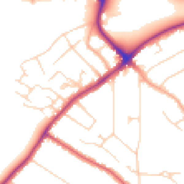
Daytime· 07:00 – 23:00
50.1dB

Night-time· 23:00 – 07:00
41.2dB