Flat 5, 27 Essex Road, Watford, WD17 4EL
About Flat 5
Flat 5 is a semi-detached house in Watford (WD17 4EL). It has a recorded floor area of 66 m² (around 710 sq ft), construction records dating it to 2007-2011 and council tax band B. At 66 m² this is the 3rd smallest of 5 units on EPC record in the building, where floor areas span 32–89 m². The building's EPC ratings span D to C, with this unit at the top. On EPC score it ranks first in the building (79 versus a worst of 60). The latest certificate (September 2022) shows a C (score 79), near the top of the C band. Earlier certificates rated it B (May 2009); the latest reading is one band lower. Between certificates, window efficiency went from Average to Good; while roof efficiency dropped from Very Good to Good.
At 66 m² it sits well below the postcode median (108 m² across 19 EPCs), making it one of the more compact homes locally. Its energy rating outperforms most of the postcode (better than 79% of similar EPCs). Sold November 2024 for £305,000. Across the public record there are 4 sales, relatively high churn for a single property. Across 2009–2024, sale prices on this property compounded at 3.8% per year. On a £-per-square-foot basis, the last sale (£429/sq ft) was about 77% above the typical sold price in the postcode.
Everything you need to know about Flat 5
The true value, the hidden risks and the full sale history, in one report.
30-day money-back guarantee

The data behind every report


Energy performance
Flat 5's carbon output is low for the local stock.
EPC Rating
Property Improvements
Changes detected from historical EPC data
Heating controls upgraded for better temperature management
Window efficiency improved
Planning history
Flat 5 has no planning applications on record.
Notable planning nearby
3applications of note in the surrounding area
Sales history & valuation
£314,000
Modelled from EPC, postcode comparables and a sale-price growth of 3.8% per year over 15 years.
£305,000
Growth on file: 3.8% per year over 15 years.
Sales timeline
4 November 2024Most recent
£305,000
15 August 2018
£305,000
+51.0%over 4 years3 October 2013
£202,000
+16.4%over 4 years26 August 2009
£173,500
Median price across the last 5 sales in WD17 4EL: £310,000 (2022–2020).
Nearby sales in WD17 4EL
Versus other Essex Road homes
Flat 5 is notably below the street on years held.
Price per m²
£4,621
Street avg £3,178
Floor Area
66 m²
Street avg 62 m²
Habitable Rooms
3 rooms
Street avg 2 rooms
CO₂ Emissions
1.5 t/year
Street avg 3.1 t/year
Everything you need to know about Flat 5
The true value, the hidden risks and the full sale history, in one report.
30-day money-back guarantee
The data behind every report
Similar properties nearby
Beach Court 114a, Flat 5, Hempstead Road
WD17 4LA
Beechfield Court 2 4, Flat 1, Grandfield Avenue
WD17 4UE
Ash Lodge 21a, Flat 1, Langley Road
WD17 4PR
Ash Lodge 21a, Flat 3, Langley Road
WD17 4PR
Beach Court 114a, Flat 6, Hempstead Road
WD17 4LA
Acre House 3 5, Flat 1, Hyde Road
WD17 4WP
Acre House 3 5, Flat 2, Hyde Road
WD17 4WP
Beach Court 114a, Flat 3, Hempstead Road
WD17 4LA
The neighbourhood at a glance
Rail-style transport is unusually close for this postcode.
Crime
10/mo
Steady year-on-year across the wider district.
Nearest stop
0.1 km
Town Hall — bus stop.
Closest school
0.3 km
Lanchester Primary School. 38 schools nearby.
Go deeper on the local area
The full report breaks down crime, transport links, schools and air quality in depth.
Road noise across the postcode
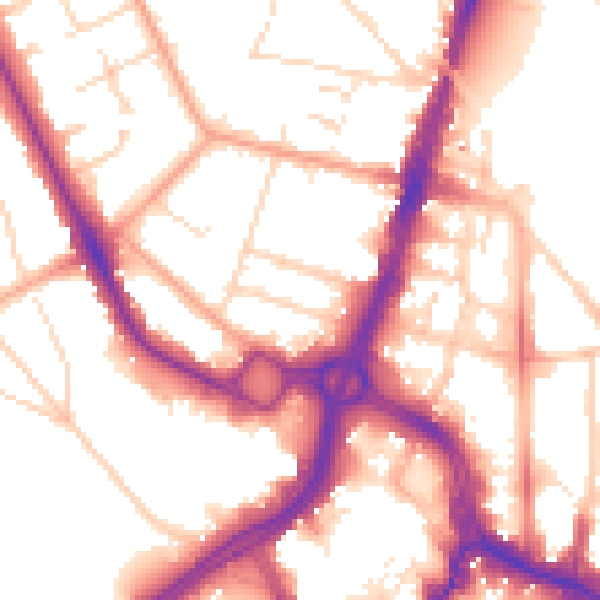
Daytime· 07:00 – 23:00
54.4dB

Night-time· 23:00 – 07:00
45.0dB