19 Burrow Close, Watford, WD17 4DS
About 19 Burrow Close
19 Burrow Close is a three-bedroom mid-terrace house in Watford (WD17 4DS). It has a recorded floor area of 106 m² (around 1141 sq ft), construction records dating it to 2012 onwards and council tax band F. The latest certificate (April 2023) shows a C (score 76), near the top of the C band. Earlier certificates rated it B (August 2011); the latest reading is one band lower. Between certificates, lighting dropped from Good to Very Poor. The recommended improvements would push it to B (score 89). Other recorded features include a basement.
At 106 m² it's 23% larger than the typical home in the postcode (86 m² median across 19 EPCs). Across 2016–2023, sale prices on this property compounded at 2.2% per year. On a £-per-square-foot basis, the last sale (£491/sq ft) was about 47.1% above the typical sold price in the postcode. Most recent transfer: September 2023 at £560,000.
What this property has
Inside
- Bedrooms3
- Bathrooms2
- Open-plan layoutYes
- Dining roomYes
- CloakroomYes
- EnsuiteYes
- BasementYes
Outside
- Private gardenYes
Everything you need to know about 19 Burrow Close
The true value, the hidden risks and the full sale history, in one report.
30-day money-back guarantee

The data behind every report


Energy performance
EPC Rating
Planning history
19 Burrow Close has no planning applications on record.
Notable planning nearby
3applications of note in the surrounding area
Sales history & valuation
19 Burrow Close valuation sits well clear of the typical sold price in this postcode.
£562,000
Modelled from EPC, postcode comparables and a sale-price growth of 2.2% per year over 8 years.
£560,000
Growth on file: 2.2% per year over 8 years.
Sales timeline
17 September 2023Most recent
£560,000
+17.9%over 7 years22 January 2016
£475,000
Median price across the last 5 sales in WD17 4DS: £287,500 (2025–2021).
Versus other Burrow Close homes
Price per m² for 19 Burrow Close runs comfortably ahead of the street norm.
Price per m²
£5,283
Street avg £3,965
Floor Area
106 m²
Street avg 102 m²
Habitable Rooms
5 rooms
Street avg 5 rooms
CO₂ Emissions
2.5 t/year
Street avg 2.2 t/year
Everything you need to know about 19 Burrow Close
The true value, the hidden risks and the full sale history, in one report.
30-day money-back guarantee
The data behind every report
Similar properties nearby
The neighbourhood at a glance
Crime
10/mo
Steady year-on-year across the wider district.
Nearest stop
0.2 km
Chilcott Road — bus stop.
Closest school
0.3 km
The Orchard Primary School. 26 schools nearby.
Go deeper on the local area
The full report breaks down crime, transport links, schools and air quality in depth.
Road noise across the postcode
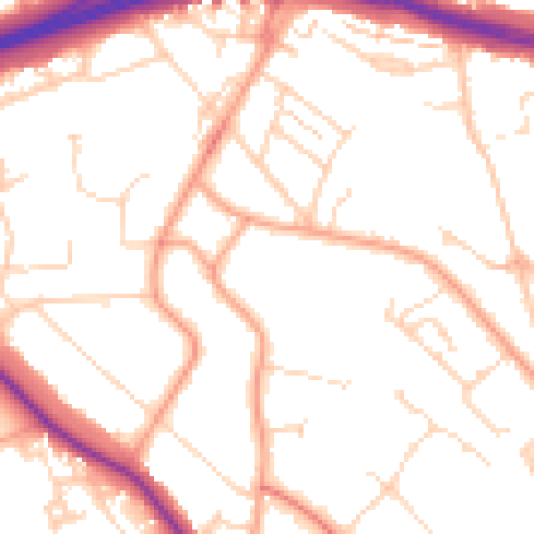
Daytime· 07:00 – 23:00
51.1dB

Night-time· 23:00 – 07:00
41.2dB