16 Burrow Close, Watford, WD17 4DS
About 16 Burrow Close
16 Burrow Close is a three-bedroom mid-terrace house in Watford (WD17 4DS). It has a recorded floor area of 110 m² (around 1184 sq ft), construction records dating it to 2007-2011 and council tax band F. The latest certificate (February 2025) shows a C (score 78), near the top of the C band. Earlier certificates rated it B (August 2011); the latest reading is one band lower. Between certificates, lighting went from Good to Very Good; while wall efficiency dropped from Very Good to Good and roof efficiency dropped from Very Good to Good. The recommended improvements would push it to B (score 88).
A recent sale: £575,000 in June 2025. At 110 m² it's 27.6% larger than the typical home in the postcode (86 m² median across 19 EPCs). Across 2011–2025, sale prices on this property compounded at 3.1% per year. On a £-per-square-foot basis, the last sale (£486/sq ft) was about 45.3% above the typical sold price in the postcode.
What this property has
Inside
- Bedrooms3
- Bathrooms2
- Dining roomYes
- EnsuiteYes
Outside
- Private gardenRear
- ParkingOff street
Building
- RefurbishedYes
Everything you need to know about 16 Burrow Close
The true value, the hidden risks and the full sale history, in one report.
30-day money-back guarantee

The data behind every report


Energy performance
EPC Rating
Property Improvements
Changes detected from historical EPC data
Heating controls changed
More low energy lighting installed
Planning history
16 Burrow Close has no planning applications on record.
Notable planning nearby
3applications of note in the surrounding area
Sales history & valuation
Latest sale on 16 Burrow Close was the highest on Land Registry record across the postcode.
£573,000
Modelled from EPC, postcode comparables and a sale-price growth of 3.1% per year over 14 years.
£575,000
Growth on file: 3.1% per year over 14 years.
Sales timeline
19 June 2025Most recent
£575,000
+26.4%over 9 years29 January 2016
£455,000
+19.7%over 4 years13 October 2011
£379,995
Median price across the last 5 sales in WD17 4DS: £287,500 (2025–2021).
Versus other Burrow Close homes
Years Held for 16 Burrow Close lags the street by a wide margin.
Price per m²
£5,227
Street avg £3,970
Floor Area
110 m²
Street avg 101 m²
Habitable Rooms
5 rooms
Street avg 5 rooms
CO₂ Emissions
2.4 t/year
Street avg 2.2 t/year
Everything you need to know about 16 Burrow Close
The true value, the hidden risks and the full sale history, in one report.
30-day money-back guarantee
The data behind every report
Similar properties nearby
The neighbourhood at a glance
Crime
10/mo
Steady year-on-year across the wider district.
Nearest stop
0.2 km
Chilcott Road — bus stop.
Closest school
0.3 km
The Orchard Primary School. 26 schools nearby.
Go deeper on the local area
The full report breaks down crime, transport links, schools and air quality in depth.
Road noise across the postcode
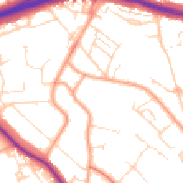
Daytime· 07:00 – 23:00
51.1dB

Night-time· 23:00 – 07:00
41.2dB