12 Burrow Close, Watford, WD17 4DS
About 12 Burrow Close
12 Burrow Close is a detached house in Watford (WD17 4DS). It has a recorded floor area of 52 m² (around 560 sq ft), construction records dating it to 2007-2011 and council tax band C. At 52 m² this is the 3rd smallest of 20 units on EPC record in the building, where floor areas span 50–154 m². The building's EPC ratings span C to B, with this unit at the bottom. The latest certificate (January 2022) shows a C (score 77), near the top of the C band. The rating has held steady at C across 2 certificates since December 2011. Between certificates, lighting went from Average to Good; while wall efficiency dropped from Very Good to Good.
A recent sale: £285,000 in March 2025. At 52 m² it sits well below the postcode median (87 m² across 19 EPCs), making it one of the more compact homes locally. Across 2012–2025, sale prices on this property compounded at 3.8% per year. On a £-per-square-foot basis, the last sale (£509/sq ft) was about 52.4% above the typical sold price in the postcode.
Everything you need to know about 12 Burrow Close
The true value, the hidden risks and the full sale history, in one report.
30-day money-back guarantee

The data behind every report


Energy performance
12 Burrow Close's carbon output is low for the local stock.
EPC Rating
Property Improvements
Changes detected from historical EPC data
More low energy lighting installed
Planning history
12 Burrow Close has no planning applications on record.
Notable planning nearby
3applications of note in the surrounding area
Sales history & valuation
£293,000
Modelled from EPC, postcode comparables and a sale-price growth of 3.8% per year over 13 years.
£285,000
Growth on file: 3.8% per year over 13 years.
Sales timeline
20 March 2025Most recent
£285,000
-0.9%over 3 years11 March 2022
£287,500
+65.4%over 10 years27 January 2012
£173,846
Median price across the last 5 sales in WD17 4DS: £555,000 (2025–2020).
Versus other Burrow Close homes
12 Burrow Close outperforms the street on price per m² by a wide margin.
Price per m²
£5,481
Street avg £3,864
Floor Area
52 m²
Street avg 65 m²
Habitable Rooms
2 rooms
Street avg 3 rooms
CO₂ Emissions
1.3 t/year
Street avg 1.6 t/year
Everything you need to know about 12 Burrow Close
The true value, the hidden risks and the full sale history, in one report.
30-day money-back guarantee
The data behind every report
Similar properties nearby
1 Boyce Court, Lockhart Road
WD17 4AS
1 Biskra, Langley Road
WD17 4PF
1 Dagwood Court, Lockhart Road
WD17 4AW
1 Arden Court, Lockhart Road
WD17 4AQ
1 Fairlawns, Langley Road
WD17 4UH
1 Bromet Close
WD17 4LP
1 Elton Park
WD17 4NW
1 Burrow Close
WD17 4DS
The neighbourhood at a glance
Crime
10/mo
Steady year-on-year across the wider district.
Nearest stop
0.2 km
Chilcott Road — bus stop.
Closest school
0.3 km
The Orchard Primary School. 26 schools nearby.
Go deeper on the local area
The full report breaks down crime, transport links, schools and air quality in depth.
Road noise across the postcode
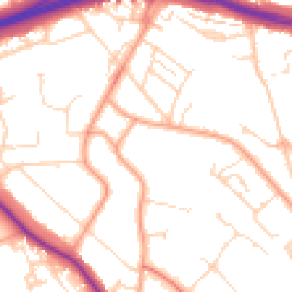
Daytime· 07:00 – 23:00
51.1dB

Night-time· 23:00 – 07:00
41.2dB