3 Stratford Way, Watford, WD17 3DH
About 3 Stratford Way
3 Stratford Way is a five-bedroom detached house in Watford (WD17 3DH). It has a recorded floor area of 196 m² (around 2110 sq ft), construction records dating it to 1930-1949 and council tax band G. The latest certificate (March 2026) shows a C (score 71). The recommended improvements would push it to B (score 81). This certificate was lodged in the last six months, so the rating reflects current condition.
Untraded for 23 years, with the last transfer in June 2003. Its energy rating outperforms most of the postcode (better than 80% of similar EPCs). Today's modelled estimate of £600,000 is 23.2% above the 2003 sale price. On a £-per-square-foot basis, the last sale (£231/sq ft) was about 46.1% below the postcode norm. One historical planning record sits against the property in 2012.
What this property has
Inside
- Bedrooms5
Everything you need to know about 3 Stratford Way
The true value, the hidden risks and the full sale history, in one report.
30-day money-back guarantee

The data behind every report


Energy performance
The EPC has just been inspected, so the rating reflects current condition.
EPC Rating
Planning history
- Apr 2012ExtensionFullIn report
Extension: Single storey · Rear of property
Single storey extension to rear of property.
- Documents
- 18 docs on file
- Reference
- 12/00228/FULH
We flagged 1 thing worth checking at 3 Stratford Way
Independent checks surfaced things a buyer would want to understand before offering. The report explains each one in full, with the underlying data and what to ask.
- Larger development activity nearby
30-day money-back guarantee
Sales history & valuation
£600,000
Modelled from EPC, postcode comparables.
£487,000
Recorded with HM Land Registry.
Sales timeline
17 June 2003Most recent
£487,000
Median price across the last 5 sales in WD17 3DH: £785,000 (2021–2009).
Nearby sales in WD17 3DH
Versus other Stratford Way homes
On price per m², 3 Stratford Way runs well behind the street norm.
Price per m²
£2,485
Street avg £5,705
Floor Area
196 m²
Street avg 188 m²
Habitable Rooms
8 rooms
Street avg 7 rooms
CO₂ Emissions
5.6 t/year
Street avg 12.6 t/year
Everything you need to know about 3 Stratford Way
The true value, the hidden risks and the full sale history, in one report.
30-day money-back guarantee
The data behind every report
Similar properties nearby
The neighbourhood at a glance
Rail-style transport is unusually close for this postcode.
Crime
10/mo
Steady year-on-year across the wider district.
Nearest stop
0.1 km
Stratford Road — bus stop.
Closest school
0.3 km
Lanchester Primary School. 37 schools nearby.
Go deeper on the local area
The full report breaks down crime, transport links, schools and air quality in depth.
Road noise across the postcode
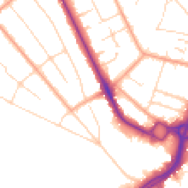
Daytime· 07:00 – 23:00
49.7dB

Night-time· 23:00 – 07:00
40.5dB