10 Stratford Way, Watford, WD17 3DH
About 10 Stratford Way
10 Stratford Way is a five-bedroom detached house in Watford (WD17 3DH). It has a recorded floor area of 263 m² (around 2831 sq ft), construction records dating it to 1950-1966 and council tax band G. The latest certificate (December 2016) shows an E (score 41), well below the UK norm with real room to improve. The rating has held steady at E across 3 certificates since April 2011. Between certificates, lighting went from Poor to Average; while window efficiency dropped from Good to Average and hot-water efficiency dropped from Good to Average. The recommended improvements would lift it to C (score 75), a 2-band jump.
At 263 m² the property is well over the postcode median (186 m² across 5 EPCs), placing it in the larger end of the local stock. Across 2002–2015, sale prices on this property compounded at 8.9% per year. Today's modelled estimate of £1,454,000 is 19.9% above the 2015 sale price. On a £-per-square-foot basis, the last sale (£428/sq ft) was about 16% below the postcode norm. Last changed hands 11 years ago, in January 2015. 2 planning records sit against the property, 0 approved, 0 refused.
What this property has
Inside
- Bedrooms5
- Dining roomYes
- Utility roomYes
- CloakroomYes
- EnsuiteYes
- StudyYes
Outside
- Private gardenYes
- GarageYes
Everything you need to know about 10 Stratford Way
The true value, the hidden risks and the full sale history, in one report.
30-day money-back guarantee

The data behind every report


Energy performance
10 Stratford Way's carbon output runs well above what efficient homes in the postcode produce.
EPC Rating
Property Improvements
Changes detected from historical EPC data
Heating controls changed
More low energy lighting installed
Hot water system changed
Windows upgraded, improving insulation
Loft insulation installed or upgraded to 250mm+
Planning history
- Oct 2016ExtensionFullIn report
Extension: Single storey · Rear of property
First floor extension and alterations to roof at rear
- Documents
- 16 docs on file
- Reference
- 16/01166/FULH
- Sept 2008ConditionsIn report
Details submitted pursuant to condition 4 (materials) of planning permission ref 08/00289/FUL
- Reference
- 08/01078/DISCON
We flagged 1 thing worth checking at 10 Stratford Way
Independent checks surfaced things a buyer would want to understand before offering. The report explains each one in full, with the underlying data and what to ask.
- Larger development activity nearby
30-day money-back guarantee
Sales history & valuation
Latest sale on 10 Stratford Way was the highest on Land Registry record across the postcode.
£1,454,000
Modelled from EPC, postcode comparables and a sale-price growth of 8.9% per year over 13 years.
£1,212,500
Growth on file: 8.9% per year over 13 years.
Sales timeline
14 January 2015Most recent
£1,212,500
+144.9%over 10 years2 June 2004
£495,000
+20.7%over 2 years1 May 2002
£410,000
Median price across the last 5 sales in WD17 3DH: £594,000 (2021–2003).
Nearby sales in WD17 3DH
Versus other Stratford Way homes
10 Stratford Way outperforms the street on floor area by a wide margin.
Price per m²
£4,610
Street avg £5,174
Floor Area
263 m²
Street avg 175 m²
Habitable Rooms
7 rooms
Street avg 7 rooms
CO₂ Emissions
19.1 t/year
Street avg 9.9 t/year
Everything you need to know about 10 Stratford Way
The true value, the hidden risks and the full sale history, in one report.
30-day money-back guarantee
The data behind every report
Similar properties nearby
The neighbourhood at a glance
Rail-style transport is unusually close for this postcode.
Crime
10/mo
Steady year-on-year across the wider district.
Nearest stop
0.1 km
Stratford Road — bus stop.
Closest school
0.3 km
Lanchester Primary School. 37 schools nearby.
Go deeper on the local area
The full report breaks down crime, transport links, schools and air quality in depth.
Road noise across the postcode
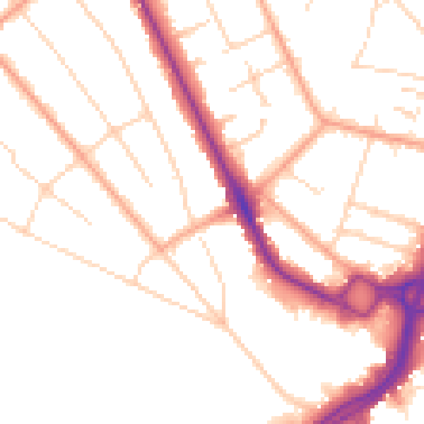
Daytime· 07:00 – 23:00
49.7dB

Night-time· 23:00 – 07:00
40.5dB