18 Woodford Road, Watford, WD17 1PA
About 18 Woodford Road
18 Woodford Road is a four-bedroom mid-terrace house in Watford (WD17 1PA). It has a recorded floor area of 128 m² (around 1378 sq ft), construction records dating it to 1976-1982 and council tax band D. The latest certificate (March 2026) shows a D (score 59), a step below the typical UK home. Earlier certificates rated it C (October 2010); the latest reading is one band lower. Between certificates, lighting went from Very Poor to Average; while window efficiency dropped from Average to Poor and hot-water efficiency dropped from Very Good to Average. The recommended improvements would push it to C (score 72). Main heating runs on electricity. This certificate was lodged in the last six months, so the rating reflects current condition.
At 128 m² the property is well over the postcode median (65 m² across 21 EPCs), placing it in the larger end of the local stock. 4 bedrooms is on the larger side for this postcode, where 2 is the typical count. 4 planning records sit against the property, 2 approved, 2 refused. Past consents include an extension, meaningful when judging how the property has evolved. Across 2007–2014, sale prices on this property compounded at 4.8% per year. Today's modelled estimate of £442,000 is 33.5% above the 2014 sale price. On a £-per-square-foot basis, the last sale (£240/sq ft) was about 31.7% above the typical sold price in the postcode. Last sold in August 2014, so it's been off the market for around 12 years.
What this property has
Inside
- Bedrooms4
Everything you need to know about 18 Woodford Road
The true value, the hidden risks and the full sale history, in one report.
30-day money-back guarantee

The data behind every report


Energy performance
18 Woodford Road's carbon output is low for the local stock.
EPC Rating
Property Improvements
Changes detected from historical EPC data
Heating system changed
Changed to a more efficient fuel source
Heating controls changed
Hot water system changed
Wall insulation upgraded
Roof insulation improved
More low energy lighting installed
Hot water system upgraded
Windows upgraded to triple glazing
Heat pump installed, significantly improving energy efficiency
Hot water system upgraded
Roof insulation improved
Planning history
18 Woodford Road has 4 separate extension applications on the council record.
- Jan 2017ExtensionFullIn report
Extension: Single storey · Rear of property
Withdrawn Application Erection of a first floor rear extension.
- Reference
- 16/01702/FULH
- Apr 2016ExtensionOutlineIn report
Extension: Single storey · Rear of property
The erection of a single storey rear extension which would extend beyond the rear wall of the original house by 6m for which the maximum height would be 3.5m and the height of the eaves would be 2.8m.
- Documents
- 6 docs on file
- Reference
- 16/00273/HPD
We flagged 2 things worth checking at 18 Woodford Road
Independent checks surfaced things a buyer would want to understand before offering. The report explains each one in full, with the underlying data and what to ask.
- Signs of HMO activity in the area
- Larger development activity nearby
30-day money-back guarantee
Sales history & valuation
18 Woodford Road valuation sits well clear of the typical sold price in this postcode.
£442,000
Modelled from EPC, postcode comparables and a sale-price growth of 4.8% per year over 7 years.
£331,000
Growth on file: 4.8% per year over 7 years.
Sales timeline
25 August 2014Most recent
£331,000
+41.9%over 7 years2 March 2007
£233,333
Median price across the last 5 sales in WD17 1PA: £260,000 (2025–2018).
Nearby sales in WD17 1PA
Versus other Woodford Road homes
On co₂ emissions, 18 Woodford Road stands well clear of the street.
Price per m²
£2,586
Street avg £2,551
Floor Area
128 m²
Street avg 133 m²
Habitable Rooms
6 rooms
Street avg 7 rooms
CO₂ Emissions
1.3 t/year
Street avg 5.8 t/year
Everything you need to know about 18 Woodford Road
The true value, the hidden risks and the full sale history, in one report.
30-day money-back guarantee
The data behind every report
Similar properties nearby
10 Westland Road
WD17 1QS
1 Wellington Road
WD17 1QU
10 Canterbury Road
WD17 1QT
1 Franklin Road
WD17 1QD
10 Franklin Road
WD17 1QD
10 Terrace Gardens
WD17 1RB
1 Orphanage Road
WD17 1PG
10 Elm Court, Albert Road South
WD17 1QQ
The neighbourhood at a glance
Rail-style transport is unusually close for this postcode.
Crime
10/mo
Steady year-on-year across the wider district.
Nearest stop
0.2 km
Watford Junction Rail Station — railway station.
Closest school
0.4 km
Watford St John's Church of England Primary School. 35 schools nearby.
Go deeper on the local area
The full report breaks down crime, transport links, schools and air quality in depth.
Road noise across the postcode
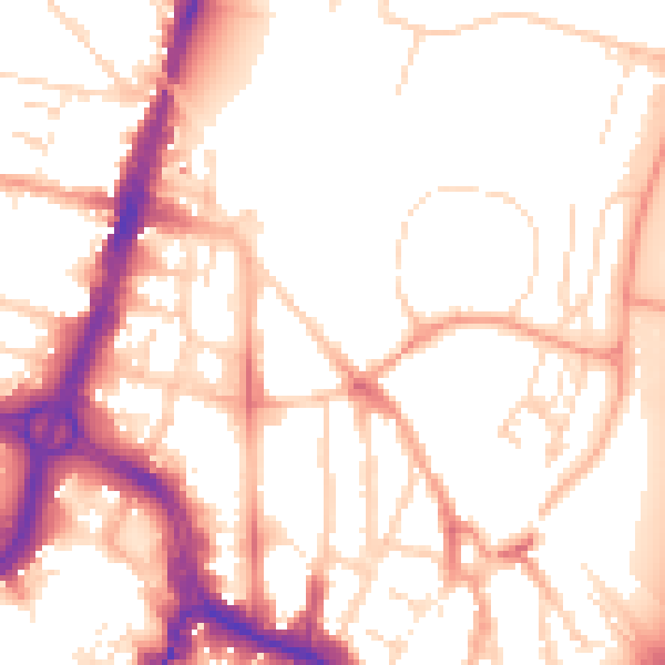
Daytime· 07:00 – 23:00
53.6dB

Night-time· 23:00 – 07:00
44.1dB