2 Old Hall Close, Higher Walton, Warrington, WA4 6SZ
About 2 Old Hall Close
2 Old Hall Close is a property in Higher Walton, Warrington, Warrington (WA4 6SZ). It has council tax band G.
It hasn't traded since September 2003, a hold of 23 years that's notably long for the area. 7 planning records sit against the property, 3 approved, 0 refused. Past consents include tree works and an extension, meaningful when judging how the property has evolved.
Everything you need to know about 2 Old Hall Close
The true value, the hidden risks and the full sale history, in one report.
Pick your report · every report is £14.99
One time fee only - money back guarantee

The data behind every report


Energy performance
No EPC on record
This property doesn't have an Energy Performance Certificate yet. An EPC is required to sell or let — and unlocks our automated valuation.
Get a survey for this property
Level 2 HomeBuyer Report
We've checked 10 risk factors against the available data for this property and believe a Level 2 HomeBuyer Report could be a suitable option for you.
Planning history
2 Old Hall Close has 2 separate extension applications on the council record.
7 applications on record at 2 Old Hall Close, Higher Walton, Warrington, WA4 6SZ
- Jan 2003ExtensionFullOutcome in report
Extension: Single storey · Side of property
PROPOSED FIRST FLOOR AND SIDE EXTENSIONS AND GRANNY FLAT
- Reference
- A02/46210
- More recent applications — locked
- Tree WorksApr 2022Decision
- Tree WorksNov 2021Decision
+ 4 more applications in the report
Unlock 2 Old Hall Close, Higher Walton, Warrington, WA4 6SZ's full planning history
You're seeing the shape of it. The report has the substance.
- Every decision — granted, refused or withdrawn (3 on record)
- All 7 applications on this property in full
- The 18 documents, officer reports & conditions
- What the pattern means for extending or converting here
One time fee only - money back guarantee
Sales history & valuation
£195,000
Recorded with HM Land Registry.
Sales timeline
28 September 2003Most recent
£195,000
Median price across the last 5 sales in WA4 6SZ: £750,000 (2024–2019).
Nearby sales in WA4 6SZ
12 Old Hall Close, Higher Walton, Warrington, WA4 6SZ
Sold Oct 2024
£650,0004 Old Hall Close, Higher Walton, Warrington, WA4 6SZ
Sold Oct 2023
£750,0008 Old Hall Close, Higher Walton, Warrington, WA4 6SZ
Sold Jan 2022
£750,0001 Old Hall Close, Higher Walton, Warrington, WA4 6SZ
Sold Jun 2021
£830,00011 Old Hall Close, Higher Walton, Warrington, WA4 6SZ
Sold Feb 2019
£520,000
Everything you need to know about 2 Old Hall Close
The true value, the hidden risks and the full sale history, in one report.
Pick your report · every report is £14.99
One time fee only - money back guarantee
The data behind every report
Similar properties nearby
1 Chelford Close, Stockton Heath
WA4 6PL
1 Calderfield Close, Stockton Heath
WA4 6PJ
1 Brickfield Cottage, Delph Lane, Daresbury
WA4 6SS
1 Cambridge Close, Stockton Heath
WA4 6SF
1 Carlingford Road, Stockton Heath
WA4 6SA
1 Belvoir Road, Walton
WA4 6PE
1 Carlton Street, Stockton Heath
WA4 6LX
1 Bramley Mews, Stockton Heath
WA4 6PR
The neighbourhood at a glance
Crime
2/mo
Steady year-on-year across the wider district.
Nearest stop
0.3 km
Granby Road — bus stop.
Closest school
0.8 km
Stockton Heath Primary School. 15 schools nearby.
Go deeper on the local area
A Local Area report breaks down crime, transport links, schools and air quality in depth.
Road noise across the postcode
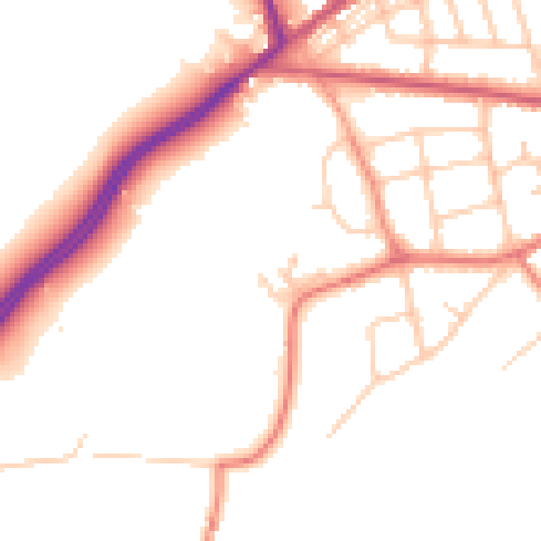
Daytime· 07:00 – 23:00
50.5dB
Night-time· 23:00 – 07:00
41.8dB