10 Kensington Avenue, Grappenhall, Warrington, WA4 2QP
About 10 Kensington Avenue
10 Kensington Avenue is a property in Grappenhall, Warrington, Warrington (WA4 2QP). It has council tax band D.
Untraded for 21 years, with the last transfer in September 2005. 3 planning records sit against the property, 1 approved, 0 refused.
Everything you need to know about 10 Kensington Avenue
The true value, the hidden risks and the full sale history, in one report.
Pick your report · every report is £14.99
One time fee only - money back guarantee

The data behind every report


Energy performance
No EPC on record
This property doesn't have an Energy Performance Certificate yet. An EPC is required to sell or let — and unlocks our automated valuation.
Get a survey for this property
Level 2 HomeBuyer Report
We've checked 10 risk factors against the available data for this property and believe a Level 2 HomeBuyer Report could be a suitable option for you.
Planning history
3 applications on record at 10 Kensington Avenue, Grappenhall, Warrington, WA4 2QP
- Feb 2013ExtensionFullOutcome in report
Proposed two storey extension to front and single storey extension to side of existing dwelling.
- Documents
- 6 docs on file
- Reference
- 2013/21126
- More recent applications — locked
- OutbuildingAug 2016Decision
- ExtensionNov 2013Decision
Unlock 10 Kensington Avenue, Grappenhall, Warrington, WA4 2QP's full planning history
You're seeing the shape of it. The report has the substance.
- Every decision — granted, refused or withdrawn (1 on record)
- All 3 applications on this property in full
- The 25 documents, officer reports & conditions
- What the pattern means for extending or converting here
One time fee only - money back guarantee
Sales history & valuation
£172,500
Recorded with HM Land Registry.
Sales timeline
29 September 2005Most recent
£172,500
Median price across the last 5 sales in WA4 2QP: £150,000 (2022–2009).
Nearby sales in WA4 2QP
3 Kensington Avenue, Grappenhall, Warrington, WA4 2QP
Sold Mar 2022
£8408 Kensington Avenue, Grappenhall, Warrington, WA4 2QP
Sold May 2016
£150,0001 Kensington Avenue, Grappenhall, Warrington, WA4 2QP
Sold Mar 2014
£185,00012 Kensington Avenue, Grappenhall, Warrington, WA4 2QP
Sold Aug 2009
£139,0002 Kensington Avenue, Grappenhall, Warrington, WA4 2QP
Sold Jan 2008
£184,000
Everything you need to know about 10 Kensington Avenue
The true value, the hidden risks and the full sale history, in one report.
Pick your report · every report is £14.99
One time fee only - money back guarantee
The data behind every report
Similar properties nearby
1 Bradshaw Lane, Grappenhall
WA4 2NJ
1 Arley Avenue, Stockton Heath
WA4 2AZ
1 Bradshaw House, Bradshaw Lane, Grappenhall
WA4 2QN
1 Alderley Road, Thelwall
WA4 2JB
1 Barrymore Court, Grappenhall
WA4 2QZ
1 Beech Avenue, Thelwall
WA4 2HU
1 Buntingford Road, Thelwall
WA4 2HP
1 Brook Avenue, Stockton Heath
WA4 2RY
The neighbourhood at a glance
Crime
2/mo
Steady year-on-year across the wider district.
Nearest stop
0.1 km
Bradshaw Lane Shops — bus stop.
Closest school
0.2 km
Bradshaw Primary School. 22 schools nearby.
Go deeper on the local area
A Local Area report breaks down crime, transport links, schools and air quality in depth.
Road noise across the postcode
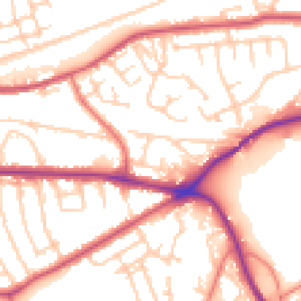
Daytime· 07:00 – 23:00
54.1dB

Night-time· 23:00 – 07:00
45.3dB