1 Barnfield Road, Woolston, Warrington, WA1 4NW
About 1 Barnfield Road
1 Barnfield Road is a semi-detached house in Woolston, Warrington, Warrington (WA1 4NW). It has a recorded floor area of 148 m² (around 1593 sq ft), construction records dating it to 1930-1949 and council tax band C. The latest certificate (February 2024) shows a C (score 73). The recommended improvements would push it to B (score 82).
At 148 m² the property is well over the postcode median (84 m² across 12 EPCs), placing it in the larger end of the local stock. Its energy rating outperforms most of the postcode (better than 75% of similar EPCs). On a £-per-square-foot basis, the last sale (£232/sq ft) was about 48.4% above the typical sold price in the postcode. 2 planning records sit against the property, 0 approved, 0 refused. Last sale on file: £370,000 in October 2024.
Everything you need to know about 1 Barnfield Road
The true value, the hidden risks and the full sale history, in one report.
30-day money-back guarantee

The data behind every report


Energy performance
EPC Rating
Planning history
1 Barnfield Road has 2 separate extension applications on the council record.
- Apr 2005ExtensionFullIn report
Extension: Part single, part two storey · Side and rear of property
Proposed part two storey, part single storey side and rear extensions.
- Reference
- 2005/05208
- Jul 2004ExtensionFullIn report
Proposed double storey dining room, WC, & bedroom en-suite extension
- Reference
- 2004/03278
We flagged 1 thing worth checking at 1 Barnfield Road
Independent checks surfaced things a buyer would want to understand before offering. The report explains each one in full, with the underlying data and what to ask.
- Larger development activity nearby
30-day money-back guarantee
Sales history & valuation
Latest sale on 1 Barnfield Road was the highest on Land Registry record across the postcode.
£397,000
Modelled from EPC, postcode comparables.
£370,000
Recorded with HM Land Registry.
Sales timeline
30 October 2024Most recent
£370,000
Median price across the last 5 sales in WA1 4NW: £262,000 (2025–2017).
Nearby sales in WA1 4NW
17 Barnfield Road, Woolston, Warrington, WA1 4NW
Sold Feb 2025
£262,00021 Barnfield Road, Woolston, Warrington, WA1 4NW
Sold Mar 2024
£280,0005 Barnfield Road, Woolston, Warrington, WA1 4NW
Sold Jun 2023
£325,0003 Barnfield Road, Woolston, Warrington, WA1 4NW
Sold Aug 2017
£191,20015 Barnfield Road, Woolston, Warrington, WA1 4NW
Sold Aug 2017
£205,000
Versus other Barnfield Road homes
1 Barnfield Road outperforms the street on floor area by a wide margin.
Price per m²
£2,500
Street avg £2,221
Floor Area
148 m²
Street avg 87 m²
Habitable Rooms
8 rooms
Street avg 5 rooms
CO₂ Emissions
4.3 t/year
Street avg 4.5 t/year
Everything you need to know about 1 Barnfield Road
The true value, the hidden risks and the full sale history, in one report.
30-day money-back guarantee
The data behind every report
Similar properties nearby
1 Colemere Close, Padgate
WA1 4LA
1 Alder Road, Woolston
WA1 4EJ
1 Clares Farm Close, Woolston
WA1 4QE
1 Abstone Close, Woolston
WA1 4NQ
1 Dorset Way, Woolston
WA1 4LQ
1 Austral Avenue, Woolston
WA1 4ND
1 Croftside, Woolston
WA1 4RN
1 Elizabeth Drive, Padgate
WA1 4JQ
The neighbourhood at a glance
Crime
3/mo
Steady year-on-year across the wider district.
Nearest stop
0.1 km
Barnfield Road — bus stop.
Closest school
0.1 km
Woolston Community Primary School. 26 schools nearby.
Go deeper on the local area
The full report breaks down crime, transport links, schools and air quality in depth.
Road noise across the postcode
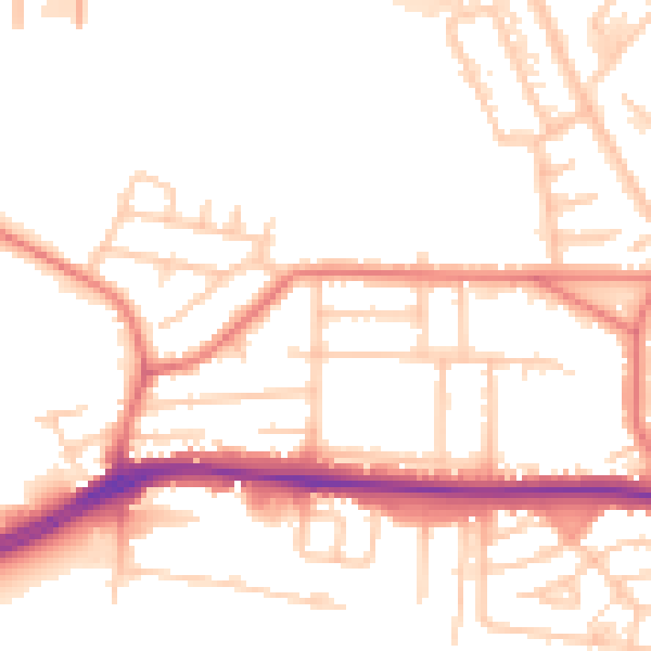
Daytime· 07:00 – 23:00
53.3dB

Night-time· 23:00 – 07:00
44.5dB