21 Barnfield Road, Woolston, Warrington, WA1 4NW
About 21 Barnfield Road
21 Barnfield Road is a three-bedroom semi-detached house in Woolston, Warrington, Warrington (WA1 4NW). It has a recorded floor area of 87 m² (around 936 sq ft), construction records dating it to 1950-1966 and council tax band C. The latest certificate (September 2022) shows a C (score 69), just inside the C band. The recommended improvements would push it to B (score 82). Records show the property has been extended at some point in its history. The home occupies a corner plot.
Its energy rating outperforms most of the postcode (better than 75% of similar EPCs). Today's modelled estimate of £308,000 is 10% above the 2024 sale price. On a £-per-square-foot basis, the last sale (£299/sq ft) was about 91.1% above the typical sold price in the postcode. Sold March 2024 for £280,000. One historical planning record sits against the property in 2010.
What this property has
Inside
- Bedrooms3
- Bathrooms2
- CloakroomYes
Outside
- GarageYes
- Corner plotYes
Building
- Previously extendedYes
Everything you need to know about 21 Barnfield Road
The true value, the hidden risks and the full sale history, in one report.
30-day money-back guarantee

The data behind every report


Energy performance
EPC Rating
Planning history
- Apr 2010PorchFullIn report
Proposed front porch & w.c extension
Extension- Reference
- 2010/16018
We flagged 1 thing worth checking at 21 Barnfield Road
Independent checks surfaced things a buyer would want to understand before offering. The report explains each one in full, with the underlying data and what to ask.
- Larger development activity nearby
30-day money-back guarantee
Sales history & valuation
21 Barnfield Road valuation sits well clear of the typical sold price in this postcode.
£308,000
Modelled from EPC, postcode comparables.
£280,000
Recorded with HM Land Registry.
Sales timeline
1 March 2024Most recent
£280,000
Median price across the last 5 sales in WA1 4NW: £262,000 (2025–2017).
Nearby sales in WA1 4NW
17 Barnfield Road, Woolston, Warrington, WA1 4NW
Sold Feb 2025
£262,0001 Barnfield Road, Woolston, Warrington, WA1 4NW
Sold Oct 2024
£370,0005 Barnfield Road, Woolston, Warrington, WA1 4NW
Sold Jun 2023
£325,0003 Barnfield Road, Woolston, Warrington, WA1 4NW
Sold Aug 2017
£191,20015 Barnfield Road, Woolston, Warrington, WA1 4NW
Sold Aug 2017
£205,000
Versus other Barnfield Road homes
21 Barnfield Road outperforms the street on habitable rooms by a wide margin.
Price per m²
£3,218
Street avg £2,149
Floor Area
87 m²
Street avg 92 m²
Habitable Rooms
7 rooms
Street avg 5 rooms
CO₂ Emissions
3.0 t/year
Street avg 4.6 t/year
Everything you need to know about 21 Barnfield Road
The true value, the hidden risks and the full sale history, in one report.
30-day money-back guarantee
The data behind every report
Similar properties nearby
1 Firtree Avenue, Padgate
WA1 4HY
1 Berkshire Drive, Woolston
WA1 4EX
1 Ascot Close, Woolston
WA1 4HE
1 Clifton Close, Woolston
WA1 4BE
1 Epping Drive, Woolston
WA1 4QL
1 Alder Road, Woolston
WA1 4EJ
1 Baron Close, Woolston
WA1 4EU
1 Dorset Way, Woolston
WA1 4LQ
The neighbourhood at a glance
Crime
3/mo
Steady year-on-year across the wider district.
Nearest stop
0.1 km
Barnfield Road — bus stop.
Closest school
0.1 km
Woolston Community Primary School. 26 schools nearby.
Go deeper on the local area
The full report breaks down crime, transport links, schools and air quality in depth.
Road noise across the postcode
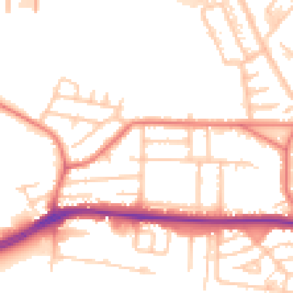
Daytime· 07:00 – 23:00
53.3dB

Night-time· 23:00 – 07:00
44.5dB