4a, The Green, Ealing, London, W5 5DA
About 4a
4a is a mid-terrace house in Ealing, London, London (W5 5DA). It has a recorded floor area of 99 m² (around 1066 sq ft), construction records dating it to before 1900 and council tax band D. The latest certificate (September 2019) shows a D (score 57), a step below the typical UK home. When first surveyed in November 2009 the rating was E, the property has climbed 1 band since. Between certificates, window efficiency dropped from Good to Average and lighting dropped from Good to Average. The recommended improvements would push it to C (score 75). At 99 m² this is the 33rd smallest of 35 units on EPC record in the building, where floor areas span 20–113 m². The building's EPC ratings span E to B across 35 units on file.
Across 2007–2022, sale prices on this property compounded at 9.6% per year. Today's modelled estimate of £618,000 is 51.5% below the 2022 sale of £1,275,000, an unusual pattern given regional price growth and worth checking against the EPC condition. On a £-per-square-foot basis, the last sale (£1,196/sq ft) was about 173.4% above the typical sold price in the postcode. At 99 m² the property is well over the postcode median (58 m² across 40 EPCs), placing it in the larger end of the local stock. Most recent transfer: July 2022 at £1,275,000. Across the public record there are 4 sales, relatively high churn for a single property. That sale was during the post-pandemic price surge, when transactions cleared materially above pre-2020 trend.
Know exactly what you're buying at 4a
Before you offer, see what the listing won't tell you, the true value, the red flags and the full history.
Already flagged here
Valuation
against the asking price
Risks
planning & flood
Sold prices
similar homes nearby
Trends
the local market
Energy performance
EPC Rating
Property Improvements
Changes detected from historical EPC data
Heating controls upgraded for better temperature management
Low energy lighting percentage decreased
Planning history
4a has no planning applications on record.
Notable planning nearby
5applications of note in the surrounding area
We flagged 1 thing worth checking at 4a
Independent checks surfaced things a buyer would want to understand before offering. The report explains each one in full, with the underlying data and what to ask.
- Larger development activity nearby
30-day money-back guarantee
Sales history & valuation
Price for 4a has grown more than fourfold since the 2007 starting point.
£618,000
Modelled from EPC, postcode comparables and a sale-price growth of 9.6% per year over 15 years.
£1,275,000
Growth on file: 9.6% per year over 15 years.
Sales timeline
6 July 2022Most recent
£1,275,000
+97.7%over 4 years9 February 2018
£645,000
+87.0%over 7 years26 February 2010
£345,000
+11.3%over 3 years9 February 2007
£310,000
Median price across the last 5 sales in W5 5DA: £415,000 (2024–2022).
Nearby sales in W5 5DA
Flat 2, 10 The Green, Ealing, London, W5 5DA
Sold Dec 2024
£415,0003b, The Green, Ealing, London, W5 5DA
Sold Nov 2024
£410,00023a, The Green, Ealing, London, W5 5DA
Sold Jun 2024
£485,00011 12, Flat A, The Green, Ealing, London, W5 5DA
Sold Aug 2023
£14,00020b, The Green, Ealing, London, W5 5DA
Sold Nov 2022
£550,000
Everything we know about 4a, in one report
What it's really worth, what could be wrong, and the planning, sales and area data in full.
What we flagged
- Larger development activity nearby

Versus other The Green homes
4a outperforms the street on price per m² by a wide margin.
Price per m²
£12,879
Street avg £5,832
Floor Area
99 m²
Street avg 62 m²
Habitable Rooms
4 rooms
Street avg 3 rooms
CO₂ Emissions
5.0 t/year
Street avg 2.5 t/year
Similar properties nearby
1 Bogart House, Filmworks Walk, Ealing
W5 5BT
1 Glebe Court, Grange Road, Ealing
W5 5QW
1 Kerrison Lodge, 59 Warwick Road
W5 5NR
1 Glaston Court, Grange Road, Ealing
W5 5QR
1 Kerrison Place, Ealing
W5 5NG
1 Forge Cottages, Ealing Green, Ealing
W5 5EG
1 Balmain Close, Ealing
W5 5BY
1 Chapman House, Filmworks Walk, Ealing
W5 5EF
The neighbourhood at a glance
Rail-style transport is unusually close for this postcode.
Crime
14/mo
Rising year-on-year across the wider district.
Nearest stop
0.1 km
Bond Street — bus stop.
Closest school
0.3 km
Christ the Saviour Church of England Primary School. 41 schools nearby.
Go deeper on the local area
The full report breaks down crime, transport links, schools and air quality in depth.
Road noise across the postcode
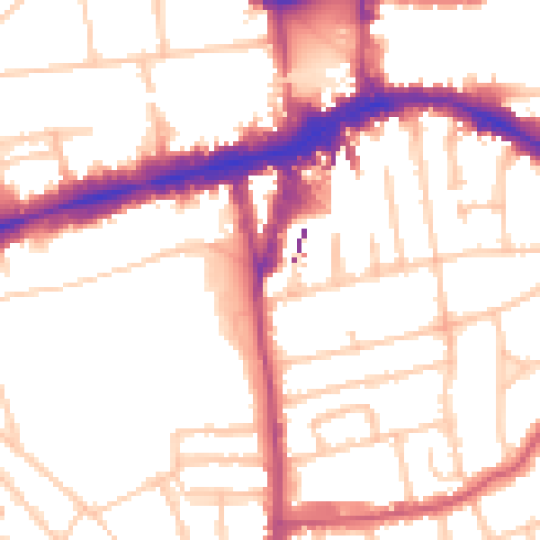
Daytime· 07:00 – 23:00
52.7dB

Night-time· 23:00 – 07:00
42.7dB