14 Pembridge Place, Kensington And Chelsea, London, W2 4XB
About 14 Pembridge Place
14 Pembridge Place is a detached house in Kensington And Chelsea, London, London (W2 4XB). It has a recorded floor area of 726 m² (around 7815 sq ft), construction records dating it to 2007-2011 and council tax band H. The latest certificate (November 2020) shows a C (score 74).
Across 2004–2022, sale prices on this property compounded at 9.1% per year. Today's modelled estimate of £16,831,000 is 26.8% below the 2022 sale of £23,000,000, a rare downward gap that often correlates with deferred maintenance or unfinished works. On a £-per-square-foot basis, the last sale (£2,943/sq ft) was about 179.2% above the typical sold price in the postcode. At 726 m² the property is well over the postcode median (109 m² across 35 EPCs), placing it in the larger end of the local stock. Its energy rating outperforms most of the postcode (better than 80% of similar EPCs). 7 planning records sit against the property, 4 approved, 0 refused. Past consents include an extension, a basement excavation and partial demolition, meaningful when judging how the property has evolved. Last sale on file: £23,000,000 in December 2022. That sale was during the post-pandemic price surge, when transactions cleared materially above pre-2020 trend.
Everything you need to know about 14 Pembridge Place
The true value, the hidden risks and the full sale history, in one report.
30-day money-back guarantee

The data behind every report


Energy performance
14 Pembridge Place's carbon output runs well above what efficient homes in the postcode produce.
EPC Rating
Planning history
Planning history includes recorded demolition works, indicating a major rebuild phase at this address.
- Oct 2023ConditionsIn report
Details required by Condition 4 (Protection of trees during construction) of planning permission PP/23/02380 (Construction of new front garden wall in place of existing driveway; installation of black metal pedestrian gate; and painting black of the existing front door)
- Council
- Pembridge
- Documents
- 2 docs on file
- Reference
- CON/23/05744
- Jun 2023Tree WorksIn report
FELL 1 x River Birch (front)
- Council
- Pembridge
- Documents
- 5 docs on file
- Reference
- ARB/23/03325
We flagged 2 things worth checking at 14 Pembridge Place
Independent checks surfaced things a buyer would want to understand before offering. The report explains each one in full, with the underlying data and what to ask.
- Signs of HMO activity in the area
- Larger development activity nearby
30-day money-back guarantee
Sales history & valuation
14 Pembridge Place has more than quadrupled in price since its earliest registered sale in 2004.
£16,831,000
Modelled from EPC, postcode comparables and a sale-price growth of 9.1% per year over 19 years.
£23,000,000
Growth on file: 9.1% per year over 19 years.
Sales timeline
30 December 2022Most recent
£23,000,000
+411.1%over 18 years22 March 2004
£4,500,000
Median price across the last 5 sales in W2 4XB: £1,950,000 (2024–2022).
Nearby sales in W2 4XB
Flat 8, 17 Pembridge Place, London, W2 4XB
Sold Jan 2024
£560,00018 Pembridge Place, Kensington And Chelsea, London, W2 4XB
Sold Dec 2023
£1,950,0007 Pembridge Place, Kensington And Chelsea, London, W2 4XB
Sold Jun 2023
£18,500,000Flat 1, 3 Pembridge Place, London, W2 4XB
Sold Jun 2023
£1,650,000The Cottage, 3 Pembridge Place, Kensington And Chelsea, London, W2 4XB
Sold Apr 2022
£2,750,000
Versus other Pembridge Place homes
On epc rating, 14 Pembridge Place stands well clear of the street.
Price per m²
£31,680
Street avg £30,535
Floor Area
726 m²
Street avg 500 m²
Habitable Rooms
14 rooms
Street avg 10 rooms
CO₂ Emissions
15.0 t/year
Street avg 20.9 t/year
Everything you need to know about 14 Pembridge Place
The true value, the hidden risks and the full sale history, in one report.
30-day money-back guarantee
The data behind every report
Similar properties nearby
1 Clanricarde Gardens, Kensington And Chelsea
W2 4JJ
1 Pembridge Place, Kensington And Chelsea
W2 4XB
1 Caroline Close, Westminster
W2 4RW
1 Lombardy Place, Westminster
W2 4AU
1 Garden Mews, Kensington And Chelsea
W2 4HF
1 Queens Mews, Westminster
W2 4BZ
1 Salem Road, Westminster
W2 4BU
1 Princes Mews, Westminster
W2 4NX
The neighbourhood at a glance
Rail-style transport is unusually close for this postcode.
Crime
19/mo
Rising year-on-year across the wider district.
Nearest stop
0.1 km
Chepstow Crescent — bus stop.
Closest school
0.5 km
Colville Primary School. 74 schools nearby.
Go deeper on the local area
The full report breaks down crime, transport links, schools and air quality in depth.
Road noise across the postcode
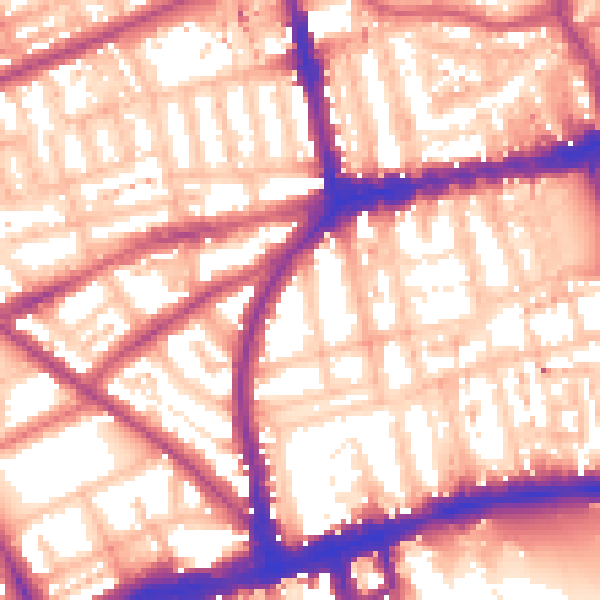
Daytime· 07:00 – 23:00
59.0dB

Night-time· 23:00 – 07:00
49.4dB