Flat, 107 Westbourne Grove, Westminster, London, W2 4UW
About Flat
Flat is a property in Westminster, London, London (W2 4UW). It has council tax band D.
Last changed hands 8 years ago, in March 2018.
Everything you need to know about Flat
The true value, the hidden risks and the full sale history, in one report.
30-day money-back guarantee

The data behind every report


Energy performance
No EPC on record
This property doesn't have an Energy Performance Certificate yet. An EPC is required to sell or let — and unlocks our automated valuation.
Planning history
Flat has no planning applications on record.
Notable planning nearby
10applications of note in the surrounding area
We flagged 2 things worth checking at Flat
Independent checks surfaced things a buyer would want to understand before offering. The report explains each one in full, with the underlying data and what to ask.
- Signs of HMO activity in the area
- Larger development activity nearby
30-day money-back guarantee
Sales history & valuation
Latest sale on Flat was the lowest on Land Registry record across the postcode.
£57,000
Recorded with HM Land Registry.
Sales timeline
22 March 2018Most recent
£57,000
Median price across the last 5 sales in W2 4UW: £605,000 (2025–2014).
Nearby sales in W2 4UW
109a, Westbourne Grove, Westminster, London, W2 4UW
Sold Jun 2025
£605,000103b, Westbourne Grove, Westminster, London, W2 4UW
Sold Dec 2019
£620,000109 Westbourne Grove, Westminster, London, W2 4UW
Sold May 2015
£678,70497 Westbourne Grove, Westminster, London, W2 4UW
Sold Jun 2014
£57,600111 Westbourne Grove, Westminster, London, W2 4UW
Sold Jun 2012
£1,400,000
Everything you need to know about Flat
The true value, the hidden risks and the full sale history, in one report.
30-day money-back guarantee
The data behind every report
Similar properties nearby
103a, Flat 1 4, Westbourne Grove, Westminster
W2 4UW
103a, Flat 1, Westbourne Grove
W2 4UW
103a, Flat 2, Westbourne Grove
W2 4UW
103a, Flat 3, Westbourne Grove
W2 4UW
103a, Flat 4, Westbourne Grove
W2 4UW
103b, Flat 1, Westbourne Grove
W2 4UW
103b, Flat 2, Westbourne Grove
W2 4UW
103b, Flat 3, Westbourne Grove
W2 4UW
The neighbourhood at a glance
Rail-style transport is unusually close for this postcode.
Crime
19/mo
Rising year-on-year across the wider district.
Nearest stop
0.1 km
Chepstow Rd / Westbourne Grove — bus stop.
Closest school
0.4 km
St. Mary of the Angels Catholic Primary School. 76 schools nearby.
Go deeper on the local area
The full report breaks down crime, transport links, schools and air quality in depth.
Road noise across the postcode
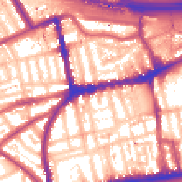
Daytime· 07:00 – 23:00
59.8dB

Night-time· 23:00 – 07:00
50.3dB