Flat 5, 1 Dawson Place, London, W2 4TD
About Flat 5
Flat 5 is a three-bedroom detached house in London (W2 4TD). It has a recorded floor area of 121 m² (around 1302 sq ft), construction records dating it to before 1900 and council tax band E. At 121 m² this is the largest unit on EPC record across the building (48–121 m²). The building's EPC ratings span E to C, with this unit at the bottom. On EPC score it ranks last in the building (39 versus a best of 70). Other recorded features include a balcony. The latest certificate (April 2018) shows an E (score 39), well below the UK norm with real room to improve. When first surveyed in June 2013 the rating was F, the property has climbed 1 band since. Between certificates, lighting went from Very Poor to Very Good. The recommended improvements would lift it to C (score 72), a 2-band jump.
Across 1996–2023, sale prices on this property compounded at 7.3% per year. Today's modelled estimate of £1,745,000 is 20.7% below the 2023 sale of £2,200,000, a rare downward gap that often correlates with deferred maintenance or unfinished works. On a £-per-square-foot basis, the last sale (£1,689/sq ft) was about 105.2% above the typical sold price in the postcode. At 121 m² the property is well over the postcode median (64 m² across 9 EPCs), placing it in the larger end of the local stock. It lags the bulk of the postcode on energy efficiency (less efficient than 78% of similar EPCs). Sold November 2023 for £2,200,000.
What this property has
Inside
- Bedrooms3
- Bathrooms2
- Open-plan layoutYes
- EnsuiteYes
- StudyYes
Outside
- BalconyYes
Everything you need to know about Flat 5
The true value, the hidden risks and the full sale history, in one report.
30-day money-back guarantee

The data behind every report


Energy performance
Flat 5's carbon output runs well above what efficient homes in the postcode produce.
EPC Rating
Property Improvements
Changes detected from historical EPC data
Heating controls upgraded for better temperature management
More low energy lighting installed
Planning history
Flat 5 has no planning applications on record.
Notable planning nearby
10applications of note in the surrounding area
We flagged 2 things worth checking at Flat 5
Independent checks surfaced things a buyer would want to understand before offering. The report explains each one in full, with the underlying data and what to ask.
- Signs of HMO activity in the area
- Larger development activity nearby
30-day money-back guarantee
Sales history & valuation
Flat 5 has more than quadrupled in price since its earliest registered sale in 1996.
£1,745,000
Modelled from EPC, postcode comparables and a sale-price growth of 7.3% per year over 27 years.
£2,200,000
Growth on file: 7.3% per year over 27 years.
Sales timeline
10 November 2023Most recent
£2,200,000
+2.6%over 6 years15 November 2016
£2,145,000
+169.8%over 10 years14 March 2006
£795,000
+16.9%over 2 years19 June 2003
£680,000
+4.6%over 2 years5 January 2001
£650,000
+106.3%over 4 years13 June 1996
£315,000
Median price across the last 5 sales in W2 4TD: £740,000 (2025–2010).
Nearby sales in W2 4TD
5 Dawson Place, Kensington And Chelsea, London, W2 4TD
Sold Apr 2025
£21,788,318Flat 4, 1 Dawson Place, London, W2 4TD
Sold Dec 2017
£740,00011c, Dawson Place, Kensington And Chelsea, London, W2 4TD
Sold Aug 2017
£1,500,000Flat 2, 1 Dawson Place, London, W2 4TD
Sold Apr 2017
£271,500Flat 1, 1 Dawson Place, London, W2 4TD
Sold Jul 2010
£567,000
Versus other Dawson Place homes
EPC Rating for Flat 5 lags the street by a wide margin.
Price per m²
£18,182
Street avg £15,581
Floor Area
121 m²
Street avg 57 m²
Habitable Rooms
4 rooms
Street avg 3 rooms
CO₂ Emissions
8.4 t/year
Street avg 2.6 t/year
Everything you need to know about Flat 5
The true value, the hidden risks and the full sale history, in one report.
30-day money-back guarantee
The data behind every report
Similar properties nearby
105a, Flat 4, Queensway
W2 4BS
1a, Apartment 1, Pembridge Gardens, Kensington And Chelsea
W2 4EN
103b, Flat 1, Westbourne Grove
W2 4UW
105a, Flat 3, Queensway
W2 4BS
1a, Apartment 13, Pembridge Gardens, Kensington And Chelsea
W2 4EN
103a, Flat 3, Westbourne Grove
W2 4UW
103b, Flat 2, Westbourne Grove
W2 4UW
103a, Flat 2, Westbourne Grove
W2 4UW
The neighbourhood at a glance
Rail-style transport is unusually close for this postcode.
Crime
19/mo
Rising year-on-year across the wider district.
Nearest stop
0.2 km
Chepstow Crescent — bus stop.
Closest school
0.6 km
Fox Primary School. 75 schools nearby.
Go deeper on the local area
The full report breaks down crime, transport links, schools and air quality in depth.
Road noise across the postcode
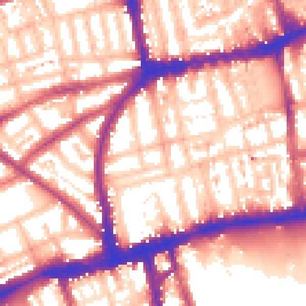
Daytime· 07:00 – 23:00
59.0dB

Night-time· 23:00 – 07:00
49.7dB