6 Evesham Close, Greenford, UB6 9TF
About 6 Evesham Close
6 Evesham Close is a semi-detached house in Greenford (UB6 9TF). It has a recorded floor area of 57 m² (around 614 sq ft), construction records dating it to 1950-1966 and council tax band C. The latest certificate (May 2021) shows a C (score 75), near the top of the C band. The rating has held steady at C across 2 certificates since June 2013. Between certificates, window efficiency went from Average to Good and lighting went from Very Poor to Very Good; while wall efficiency dropped from Good to Average. At 57 m² this is the 6th smallest of 15 units on EPC record in the building, where floor areas span 55–143 m². The building's EPC ratings span E to B across 15 units on file.
Across 2012–2021, sale prices on this property compounded at 5.2% per year. Today's modelled estimate of £324,000 is 22.3% above the 2021 sale price. On a £-per-square-foot basis, the last sale (£432/sq ft) was about 73.1% above the typical sold price in the postcode. Most recent transfer: March 2021 at £265,000. That sale was during the post-pandemic price surge, when transactions cleared materially above pre-2020 trend.
Know exactly what you're buying at 6 Evesham Close
Before you offer, see what the listing won't tell you, the true value, the red flags and the full history.
Already flagged here
Valuation
against the asking price
Risks
planning & flood
Sold prices
similar homes nearby
Trends
the local market
Energy performance
EPC Rating
Property Improvements
Changes detected from historical EPC data
Heating controls upgraded for better temperature management
Window efficiency improved
More low energy lighting installed
Planning history
6 Evesham Close has no planning applications on record.
Notable planning nearby
21applications of note in the surrounding area
We flagged 1 thing worth checking at 6 Evesham Close
Independent checks surfaced things a buyer would want to understand before offering. The report explains each one in full, with the underlying data and what to ask.
- Signs of HMO activity in the area
30-day money-back guarantee
Sales history & valuation
6 Evesham Close saw 3 transfers in just over a decade — high turnover for the postcode.
£324,000
Modelled from EPC, postcode comparables and a sale-price growth of 5.2% per year over 8 years.
£265,000
Growth on file: 5.2% per year over 8 years.
Sales timeline
23 March 2021Most recent
£265,000
+6.0%over 6 years1 July 2014
£250,000
+45.3%over 1 year27 September 2012
£172,000
Median price across the last 5 sales in UB6 9TF: £335,000 (2024–2018).
Nearby sales in UB6 9TF
Everything we know about 6 Evesham Close, in one report
What it's really worth, what could be wrong, and the planning, sales and area data in full.
What we flagged
- Signs of HMO activity in the area

Versus other Evesham Close homes
On floor area, 6 Evesham Close stands well clear of the street.
Price per m²
£4,649
Street avg £3,822
Floor Area
57 m²
Street avg 58 m²
Habitable Rooms
3 rooms
Street avg 3 rooms
CO₂ Emissions
1.7 t/year
Street avg 1.8 t/year
Similar properties nearby
1 Barbican Road
UB6 9DH
1 Beechwood Avenue
UB6 9UA
1 Avon Court, Braund Avenue
UB6 9JH
1 Brookfield Court, Oldfield Lane South
UB6 9JY
1 Fairlight Court, Oldfield Lane South
UB6 9JR
1 Andover Close
UB6 9QW
1 Dennis Court, Kings Avenue
UB6 9DA
1 Ellesmere Road
UB6 9ES
The neighbourhood at a glance
Reported crime in the wider district is trending notably upward year-on-year.
Crime
7/mo
Rising year-on-year across the wider district.
Nearest stop
0.3 km
Marnham Crescent — bus stop.
Closest school
0.6 km
Ravenor Primary School. 43 schools nearby.
Go deeper on the local area
The full report breaks down crime, transport links, schools and air quality in depth.
Road noise across the postcode
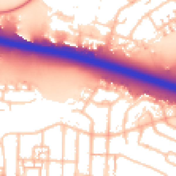
Daytime· 07:00 – 23:00
57.3dB
Night-time· 23:00 – 07:00
49.6dB