8 Barnham Road, Greenford, UB6 9LP
About 8 Barnham Road
8 Barnham Road is a two-bedroom semi-detached house in Greenford (UB6 9LP). It has a recorded floor area of 76 m² (around 818 sq ft), construction records dating it to 1930-1949 and council tax band E. The latest certificate (January 2019) shows a D (score 67), on the cusp of jumping into the C band. The recommended improvements would lift it to B (score 86), a 2-band jump. Our model identifies extension potential, subject to local planning policy.
2 planning records sit against the property, 2 approved, 0 refused. Past consents include an extension, meaningful when judging how the property has evolved. Across 2000–2019, sale prices on this property compounded at 5.4% per year. Today's modelled estimate of £530,000 is 12.8% above the 2019 sale price. On a £-per-square-foot basis, the last sale (£575/sq ft) was about 62.7% above the typical sold price in the postcode. At 76 m² it's 24.8% smaller than the typical home in the postcode (101 m² median across 10 EPCs). Last sale on file: £470,000 in April 2019.
Know exactly what you're buying at 8 Barnham Road
Before you offer, see what the listing won't tell you, the true value, the red flags and the full history.
Already flagged here
Valuation
against the asking price
Risks
planning & flood
Sold prices
similar homes nearby
Trends
the local market
What this property has
Inside
- Bedrooms2
- Bathrooms1
Outside
- Private gardenRear
- GarageYes
Building
- Heating systemGas
- Extension potentialPossible
Energy performance
Recommended upgrades on file would lift this property by multiple EPC bands.
EPC Rating
Planning history
8 Barnham Road has an approved single-storey rear extension on the planning record.
- Jul 2021ExtensionOutlineIn report
Alteration of roof from hip-to-gable end; rear roof extension; installation of two rooflights to front roofslope; installation of one side window (Lawful Development Certificate for a Proposed Development).
- Agent
- JPB ARCHITECTS
- Documents
- 6 docs on file
- Reference
- 213777CPL
- Jul 2021ExtensionOutlineIn report
Extension: Single storey · Rear of property
Single storey (Max 6m deep and Max 3m high) rear extension (42 days Prior Notification Process).
- Agent
- JPB ARCHITECTS
- Documents
- 6 docs on file
- Reference
- 213854PALHE
We flagged 1 thing worth checking at 8 Barnham Road
Independent checks surfaced things a buyer would want to understand before offering. The report explains each one in full, with the underlying data and what to ask.
- Signs of HMO activity in the area
30-day money-back guarantee
Sales history & valuation
8 Barnham Road has more than doubled in price since the earliest registered sale in 2000.
£530,000
Modelled from EPC, postcode comparables and a sale-price growth of 5.4% per year over 19 years.
£470,000
Growth on file: 5.4% per year over 19 years.
Sales timeline
3 April 2019Most recent
£470,000
+56.7%over 10 years14 December 2008
£300,000
+71.4%over 8 years6 June 2000
£175,000
Median price across the last 5 sales in UB6 9LP: £670,000 (2025–2022).
Nearby sales in UB6 9LP
Everything we know about 8 Barnham Road, in one report
What it's really worth, what could be wrong, and the planning, sales and area data in full.
What we flagged
- Signs of HMO activity in the area

Versus other Barnham Road homes
8 Barnham Road outperforms the street on co₂ emissions by a wide margin.
Price per m²
£6,184
Street avg £5,826
Floor Area
76 m²
Street avg 100 m²
Habitable Rooms
5 rooms
Street avg 5 rooms
CO₂ Emissions
3.0 t/year
Street avg 4.8 t/year
Similar properties nearby
1 Fairview Court, Chinnor Crescent
UB6 9NU
1 Astha Court, Kings Avenue
UB6 9FG
1 Fairlight Court, Oldfield Lane South
UB6 9JR
1 Brookfield Court, Oldfield Lane South
UB6 9JY
1 Barbican Road
UB6 9DH
1 Fermoy Road
UB6 9HX
1 Braund Avenue
UB6 9JG
1 Dennis Court, Kings Avenue
UB6 9DA
The neighbourhood at a glance
Reported crime in the wider district is trending notably upward year-on-year.
Crime
7/mo
Rising year-on-year across the wider district.
Nearest stop
0.2 km
West Ridge Gardens — bus stop.
Closest school
0.3 km
Coston Primary School. 37 schools nearby.
Go deeper on the local area
The full report breaks down crime, transport links, schools and air quality in depth.
Road noise across the postcode
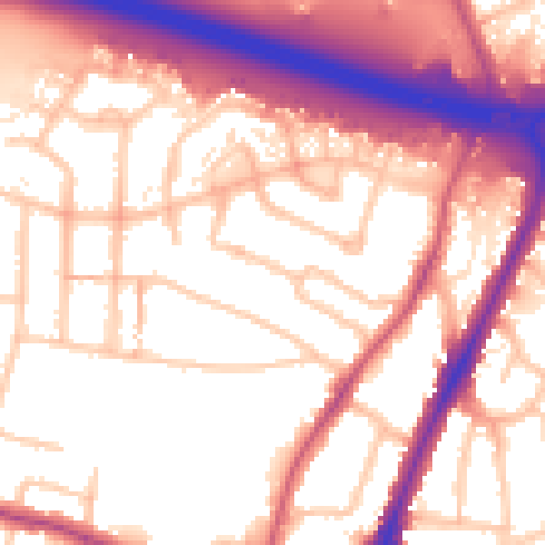
Daytime· 07:00 – 23:00
57.1dB

Night-time· 23:00 – 07:00
49.0dB