560 Whitton Avenue West, Greenford, UB6 0EF
About 560 Whitton Avenue West
560 Whitton Avenue West is an end-of-terrace house in Greenford (UB6 0EF). It has a recorded floor area of 80 m² (around 861 sq ft), construction records dating it to 1930-1949 and council tax band E. The latest certificate (March 2016) shows an E (score 44), well below the UK norm with real room to improve. The recommended improvements would lift it to C (score 77), a 2-band jump. The latest certificate is from March 2016, so improvements made since then won't be reflected.
One planning record on file: an extension approved in 2019. Past consents include an extension, meaningful when judging how the property has evolved. It lags the bulk of the postcode on energy efficiency (less efficient than 86% of similar EPCs). Today's modelled estimate of £565,000 is 20.2% above the 2017 sale price. On a £-per-square-foot basis, the last sale (£546/sq ft) was about 55.1% above the typical sold price in the postcode. Last changed hands 9 years ago, in August 2017.
Know exactly what you're buying at 560 Whitton Avenue West
Before you offer, see what the listing won't tell you, the true value, the red flags and the full history.
Already flagged here
Valuation
against the asking price
Risks
planning & flood
Sold prices
similar homes nearby
Trends
the local market
Energy performance
Recommended upgrades on file would lift this property by multiple EPC bands.
EPC Expired
This certificate is over 10 years old and is no longer valid.Expired 23 Mar 2026
EPC Rating
Planning history
560 Whitton Avenue West has an approved single-storey side extension on the planning record.
- May 2019ExtensionFullIn report
Extension: Single storey · Side of property
Single storey side extension
- Agent
- Synergy Bespoke Design
- Documents
- 8 docs on file
- Reference
- 191138HH
We flagged 1 thing worth checking at 560 Whitton Avenue West
Independent checks surfaced things a buyer would want to understand before offering. The report explains each one in full, with the underlying data and what to ask.
- Signs of HMO activity in the area
30-day money-back guarantee
Sales history & valuation
560 Whitton Avenue West valuation sits well clear of the typical sold price in this postcode.
£565,000
Modelled from EPC, postcode comparables.
£470,000
Recorded with HM Land Registry.
Sales timeline
9 August 2017Most recent
£470,000
Median price across the last 5 sales in UB6 0EF: £530,000 (2023–2021).
Nearby sales in UB6 0EF
574 Whitton Avenue West, Greenford, UB6 0EF
Sold Jul 2023
£501,500538 Whitton Avenue West, Greenford, UB6 0EF
Sold Nov 2022
£530,000572 Whitton Avenue West, Greenford, UB6 0EF
Sold Apr 2022
£550,000570 Whitton Avenue West, Greenford, UB6 0EF
Sold Apr 2021
£540,000578 Whitton Avenue West, Greenford, UB6 0EF
Sold Feb 2021
£469,000
Everything we know about 560 Whitton Avenue West, in one report
What it's really worth, what could be wrong, and the planning, sales and area data in full.
What we flagged
- Signs of HMO activity in the area

Versus other Whitton Avenue West homes
Habitable Rooms for 560 Whitton Avenue West runs comfortably ahead of the street norm.
Price per m²
£5,875
Street avg £8,313
Floor Area
80 m²
Street avg 89 m²
Habitable Rooms
10 rooms
Street avg 5 rooms
CO₂ Emissions
5.2 t/year
Street avg 4.2 t/year
Similar properties nearby
The neighbourhood at a glance
Rail-style transport is unusually close for this postcode.
Crime
7/mo
Rising year-on-year across the wider district.
Nearest stop
0.2 km
Malden Avenue — bus stop.
Closest school
0.3 km
Wood End Primary School. 36 schools nearby.
Go deeper on the local area
The full report breaks down crime, transport links, schools and air quality in depth.
Road noise across the postcode
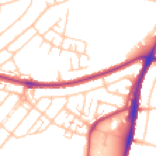
Daytime· 07:00 – 23:00
52.1dB

Night-time· 23:00 – 07:00
42.6dB