19 Hadden Way, Greenford, UB6 0DH
About 19 Hadden Way
19 Hadden Way is a semi-detached house in Greenford (UB6 0DH). It has a recorded floor area of 143 m² (around 1539 sq ft), construction records dating it to 1930-1949 and council tax band D. The latest certificate (July 2025) shows a D (score 60), on the cusp of jumping into the C band. The rating has held steady at D across 2 certificates since February 2024. Between certificates, wall efficiency went from Very Poor to Very Good, roof efficiency went from Average to Good and window efficiency went from Average to Very Good; while hot-water efficiency dropped from Good to Very Poor and main heating dropped from Good to Very Poor. The recommended improvements would push it to C (score 70). Main heating runs on electricity: electricity, unspecified tariff.
At 143 m² the property is well over the postcode median (80 m² across 16 EPCs), placing it in the larger end of the local stock. It changed hands recently, sold March 2025 for £495,000. 6 planning records sit against the property, 6 approved, 0 refused. Past consents include an extension and partial demolition, meaningful when judging how the property has evolved. Across 2000–2025, sale prices on this property compounded at 5.4% per year. Today's modelled estimate of £584,000 is 18% above the 2025 sale price.
Know exactly what you're buying at 19 Hadden Way
Before you offer, see what the listing won't tell you, the true value, the red flags and the full history.
Already flagged here
Valuation
against the asking price
Risks
planning & flood
Sold prices
similar homes nearby
Trends
the local market
Energy performance
EPC Rating
Property Improvements
Changes detected from historical EPC data
Heating system changed
Changed to a more efficient fuel source
Heating controls changed
Hot water system changed
High performance glazing installed
Cavity wall insulation installed
Roof insulation improved
Floor insulation added or improved
Planning history
Planning history includes recorded demolition works, indicating a major rebuild phase at this address.
- Jun 2025DemolitionFullIn report
Extension: Part single, part two storey · Rear of property
Part single, part two storey rear extension (following demolition of existing rear addition); alteration of roof from hip to gable end; rear roof extension
- Agent
- Prestige Planning Consultants Limited
Extension- Documents
- 10 docs on file
- Reference
- 251089HH
- May 2025ExtensionOutlineIn report
Alteration of roof from hip to gable end; and rear roof extension (Lawful Development Certificate for a Proposed Development)
- Agent
- Prestige Planning Limited
- Documents
- 7 docs on file
- Reference
- 250980CPL
We flagged 1 thing worth checking at 19 Hadden Way
Independent checks surfaced things a buyer would want to understand before offering. The report explains each one in full, with the underlying data and what to ask.
- Signs of HMO activity in the area
30-day money-back guarantee
Sales history & valuation
Sale price has grown by over 3x since 2000.
£584,000
Modelled from EPC, postcode comparables and a sale-price growth of 5.4% per year over 25 years.
£495,000
Growth on file: 5.4% per year over 25 years.
Sales timeline
12 March 2025Most recent
£495,000
+221.4%over 23 years23 March 2001
£154,000
+15.8%over 1 year6 January 2000
£132,950
Median price across the last 5 sales in UB6 0DH: £500,000 (2024–2020).
Everything we know about 19 Hadden Way, in one report
What it's really worth, what could be wrong, and the planning, sales and area data in full.
What we flagged
- Signs of HMO activity in the area

Versus other Hadden Way homes
On years held, 19 Hadden Way runs well behind the street norm.
Price per m²
£3,462
Street avg £4,821
Floor Area
143 m²
Street avg 86 m²
CO₂ Emissions
4.3 t/year
Street avg 4.6 t/year
Years Held
1 years
Street avg 10 years
Similar properties nearby
The neighbourhood at a glance
Rail-style transport is unusually close for this postcode.
Crime
7/mo
Rising year-on-year across the wider district.
Nearest stop
0.2 km
Clare Road (UB6) — bus stop.
Closest school
0.5 km
Wood End Primary School. 39 schools nearby.
Go deeper on the local area
The full report breaks down crime, transport links, schools and air quality in depth.
Road noise across the postcode
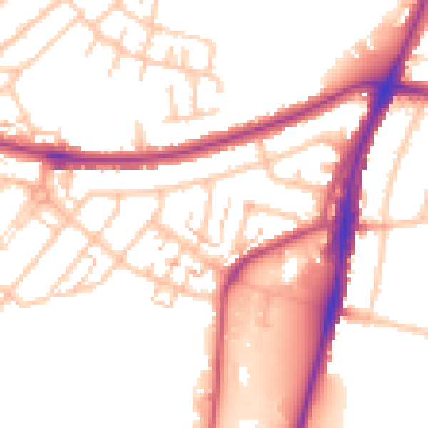
Daytime· 07:00 – 23:00
52.8dB

Night-time· 23:00 – 07:00
43.6dB